Greetings friends, and good day to you! Welcome to another edition of the CCN Weather update for Thursday April 24, 2025.
This weather update is sponsored by Freedom Insurance of Whiteville. Protect what matters most with Freedom Insurance. Life can be full of surprises, but with Freedom Insurance, you will always be prepared. Whether it’s your home, car, business, or health, we provide customized coverage to keep you and your family safe. Contact Freedom today at 910-640-2828!
STATISTICS for Wednesday 4/23/2025
High: 86.7°F at 2:40 PM (Normal 76)
Low: 65.1°F at 10:56 PM (Normal 51)
Precip: 1.41 inches
View real-time data from the weather station at College Street Weather Station.
The thunderstorm that impacted Whiteville Wednesday afternoon dropped 1.41 inches of rainfall in approximately 45 minutes.
Here’s today’s Bottom Line
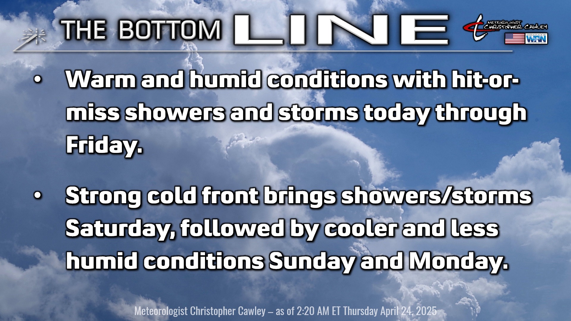
A fizzling frontal boundary draped west-to-east in northern South Carolina, from Greenville to Myrtle Beach, will be the focus point of hit-or-miss showers and thunderstorms today and Friday.
As the front is farther south than originally expected, I believe we’re going to see more in the way of sunshine today and tomorrow, and I’m putting our shower/storm chance at about 30% both days.
That means that most of us will remain dry. However, a shower or storm could develop at any time and at any location both this afternoon and Friday afternoon. If I had to hedge my bets on locations, I think inland locations (i.e., ColCo) stands a better chance for storms than does the coast.
Any storm that develops has the potential to produce excessive rainfall over a relatively small geographic area in a short period of time. As mentioned above, the storm that pounded much of central Columbus county yesterday dropped well over an inch of rain in about 45 minutes to an hour. There is also considerable cold air as you go higher up in the atmosphere — temperatures down to about 15 below zero at 10,000 feet — and that may allow for some storms to produce some hail, along with frequent cloud-to-ground lightning.
This front continues to dissipate as we move into Saturday, and is pulverized by a robust southwesterly flow of very warm and humid air of tropical origin. This is ahead of a real cold front that will coast across the area late Saturday afternoon or Saturday evening. This will likely bring a line or broken line of showers and thunderstorms across the county during the afternoon hours on Saturday. Nearly all model guidance is in agreement that the line is likely to be quite skinny/narrow, so while I’m saying “showers and storms likely,” most of Saturday will be dry and overall rainfall amounts will be meager at best.
The line moves through and out of here by Saturday night and a dramatic air mass change takes place into early Sunday, lasting through Monday and into Tuesday with much cooler and much less humid conditions. That won’t last long as high pressure ridging starts to take place offshore leading to a return of warm and humid conditions as we head into the first few days of May. Another frontal boundary may affect the area for the Strawberry Festival weekend.
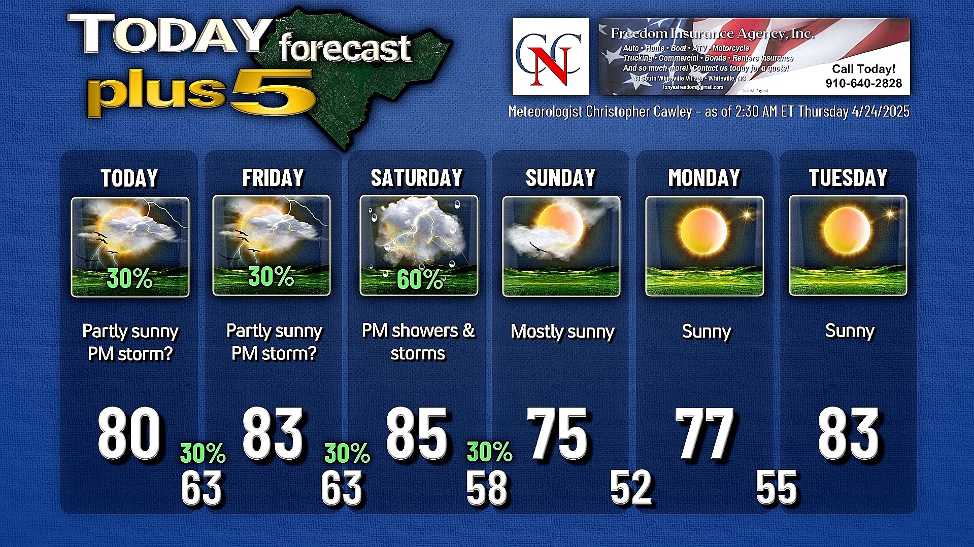
Here is your Freedom Insurance Today-plus-Five Forecast:
That’s going to do it for today’s report. As always, thank you for reading and for supporting Columbus County News. Have a great day!
–Meteorologist Christopher Cawley