CCN Weather Update for Saturday June 21, 2025.
This weather update is sponsored by Freedom Insurance of Whiteville. No matter the temperature, you won’t need to sweat it when accidents happen! With Freedom Insurance you will always be as cool as the other side of the pillow. For home, car, boat, or whatever you need, Freedom can provide customized coverage to keep you and your family safe. Contact Freedom today at 910-640-2828!
Here’s today’s Bottom Line
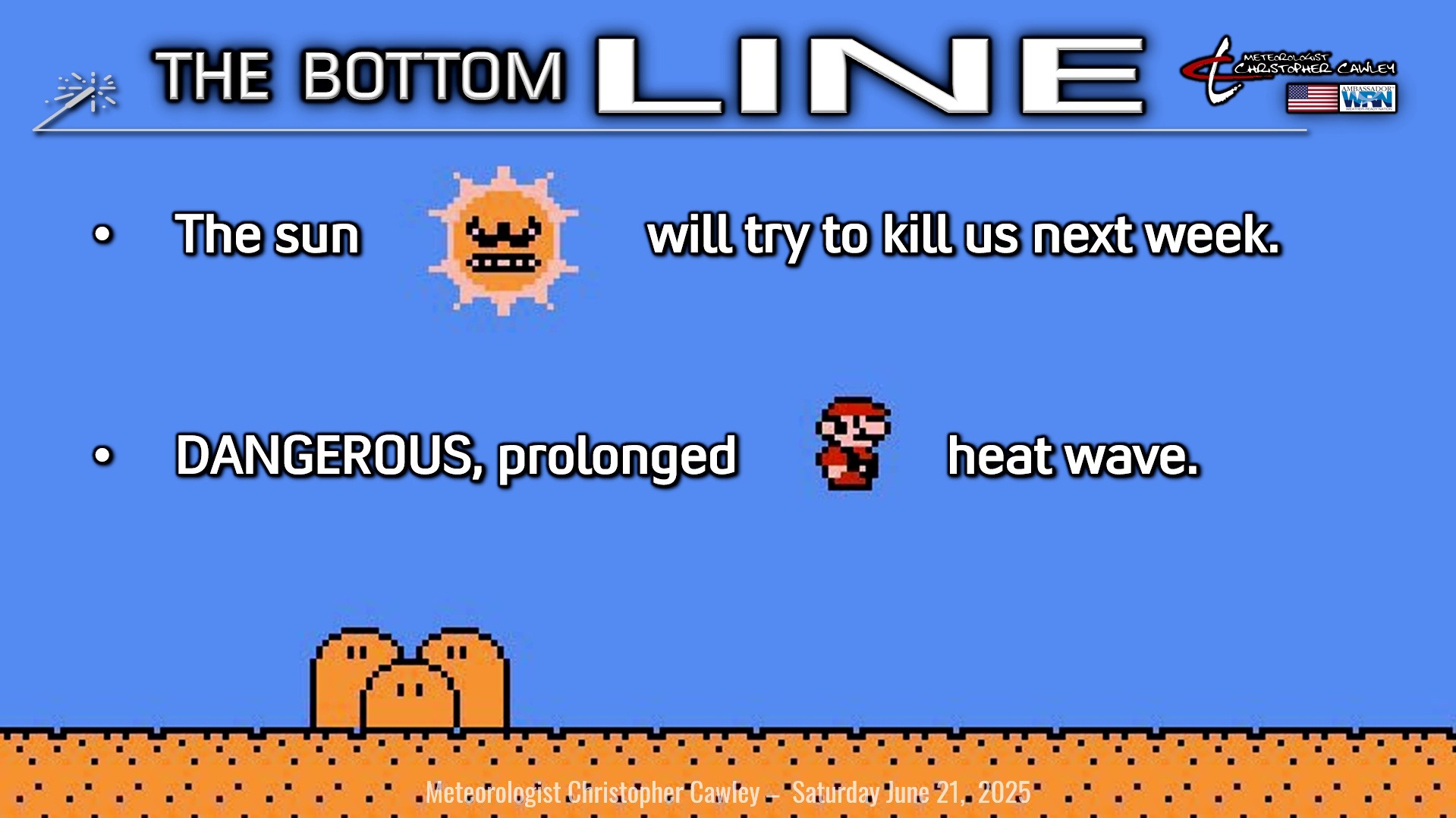
The bottom line says it all.
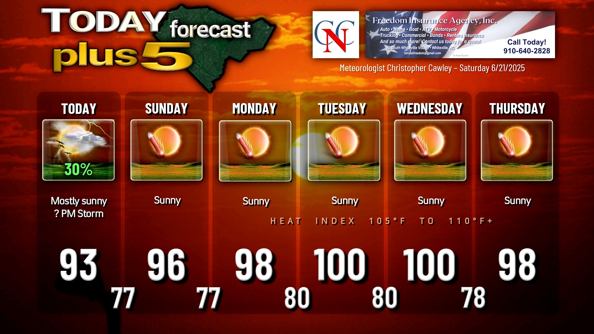
We have the slight chance for a thunderstorm this afternoon on the sea-breeze boundary, otherwise we’ll be high and dry and “kind of” hot today.
Then the rain chances dwindle to near zero for at least the following 5 days, if not longer, with DANGEROUS LEVELS OF HEAT across the county.
This is not something to mess with, folks.
High temperatures Sunday will be in the mid to upper 90s… rising to the 98-102 range for Monday through Thursday, with the hottest temps expected Tuesday and Wednesday.
This is all thanks to a massive ridge of high pressure becoming established over the mid-Atlantic. High pressure extending through all levels of the atmosphere means an abundance of sinking air, which leads to very hot temps and very little, if any, cloudiness in the sky. Forget rain chances… as I said, they’re near zero. Even with an afternoon sea-breeze.
There will be very little relief at night as our low temperatures drop to between 78 and 82, with heat index values staying in the 90s during the overnight hours.
Longer-range modeling indicates a continuation of very hot temperatures late in the week, possibly extending into NEXT weekend before the ridge tries to push offshore.
TROPICAL OUTLOOK: Nothing doing over the tropics, nothing in the modeling that is even remotely interesting. NHC forecast says no tropical development for the next 7 days.
Here is your Freedom Insurance Today-plus-Five Forecast:
–Meteorologist Christopher Cawley