CCN Weather Update for Thursday June 12, 2025.
This weather update is sponsored by Freedom Insurance of Whiteville. When severe weather strikes, with Freedom Insurance you will always be prepared. For home, car, boat, or whatever you need, Freedom can provide customized coverage to keep you and your family safe. Contact Freedom today at 910-640-2828!
Here’s today’s Bottom Line
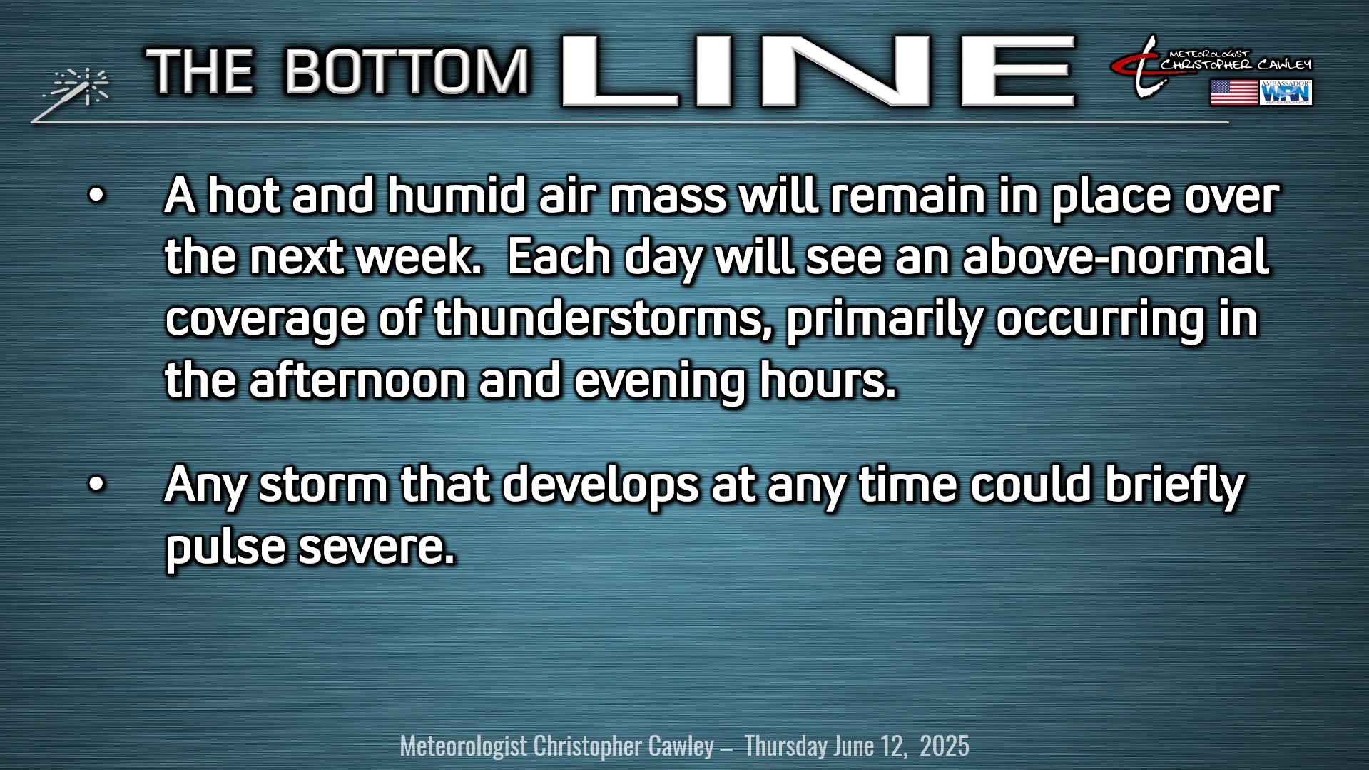
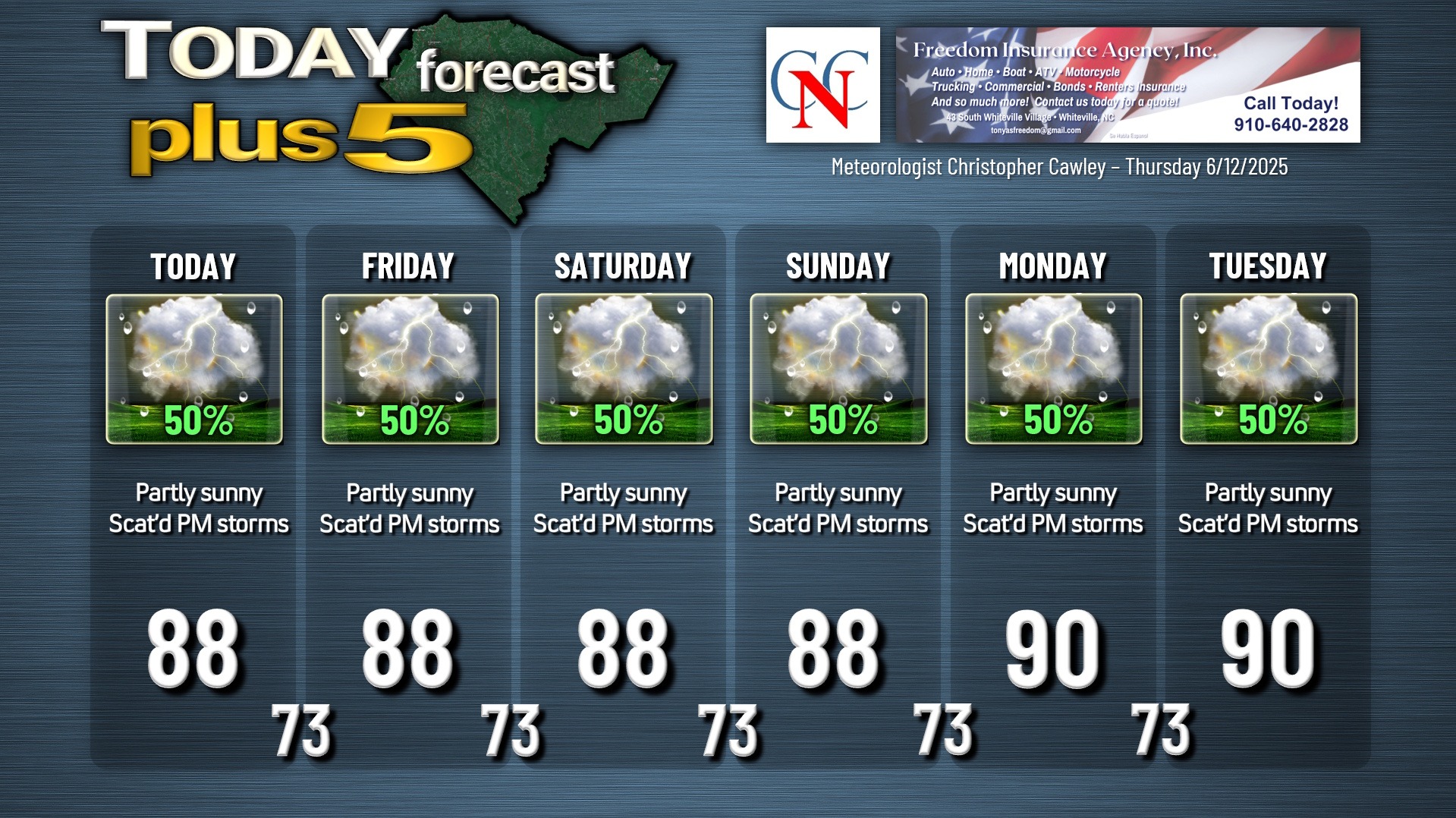
Sunshine, showers, and storms. That’s going to be the rule into next week.
In reality, I could cut-and-paste yesterday’s blog text here and call it done-and-dusted.
A stalled frontal boundary inland, a disturbance in the mid-levels of the atmosphere, and the sea-breeze boundary will all act as sparks for showers and thunderstorms over the next several days. The mid-level feature will zip across the area today and that could cause an enhancement in our shower/storm chances this afternoon into the evening hours.
Deep moisture will keep dew point values quite high; our early morning low temperatures are going to remain quite warm indeed, in the lower and middle 70s with near 100% relative humidity. I have come down a touch on our highs as I think we’ll have more in the way of cloud cover each afternoon.
Where are the storms going to set up? That’s an impossible forecast at this point. Instability will be “average” across the area. Modeling is in good agreement that storm coverage will be fairly widespread this afternoon and Friday afternoon. Outflow boundaries from decayed/dissipated thunderstorms can act as new sources of lift (or “spark”) to spawn new thunderstorms.
Turning our attention to the weekend and into next week… well… there’s not much change. A true summer pattern is established. Modeling is hinting at some ridging (high pressure) building in next week; should that be the case, the thunderstorm threat dwindles considerably and the heat will be on full blast. In the meantime, above-normal shower and thunderstorm chances remain in the forecast through the weekend and into at least early next week.
TROPICAL OUTLOOK: Massive ridges of high pressure dominate the tropical Atlantic, Caribbean, and Gulf. Most of the thunderstorm activity is confined to the intertropical convergence zone. No development expected for the next 7 days.
Here is your Freedom Insurance Today-plus-Five Forecast:
–Meteorologist Christopher Cawley