CCN Weather Update for Wednesday July 16, 2025.
This weather update is sponsored by Freedom Insurance of Whiteville. You won’t need to sweat the details when trouble occurs. For home, car, boat, or whatever you need, Freedom can provide customized coverage to keep you and your family safe. Contact Freedom today at 910-640-2828!
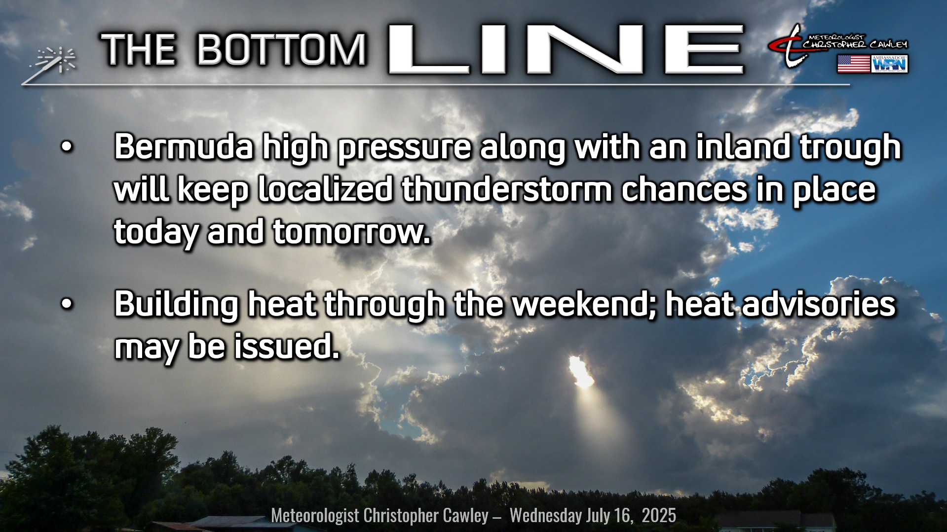
Here’s today’s Bottom Line
It was a good call to go with low precipitation chances for Tuesday as only a few very spotty showers popped up across the county.
I’m dropping way back on my thunderstorm chances for today based on the trends of the past few days. There really hasn’t been much change in the overall “big picture,” with the Bermuda high firmly in place and a weak trough/front kind of draped across the state.
Thunderstorm activity, in my opinion, will be quite localized today attached either to the Piedmont trough (to our west) or to the sea-breeze boundary. I’m going with a 30% chance for today.
Storm chances even less on Thursday as the heat starts to build. The western “lobe” of the Bermuda high pushes a touch to the west. Sinking, compressing air puts a lid on storm development and builds the heat, like I said.
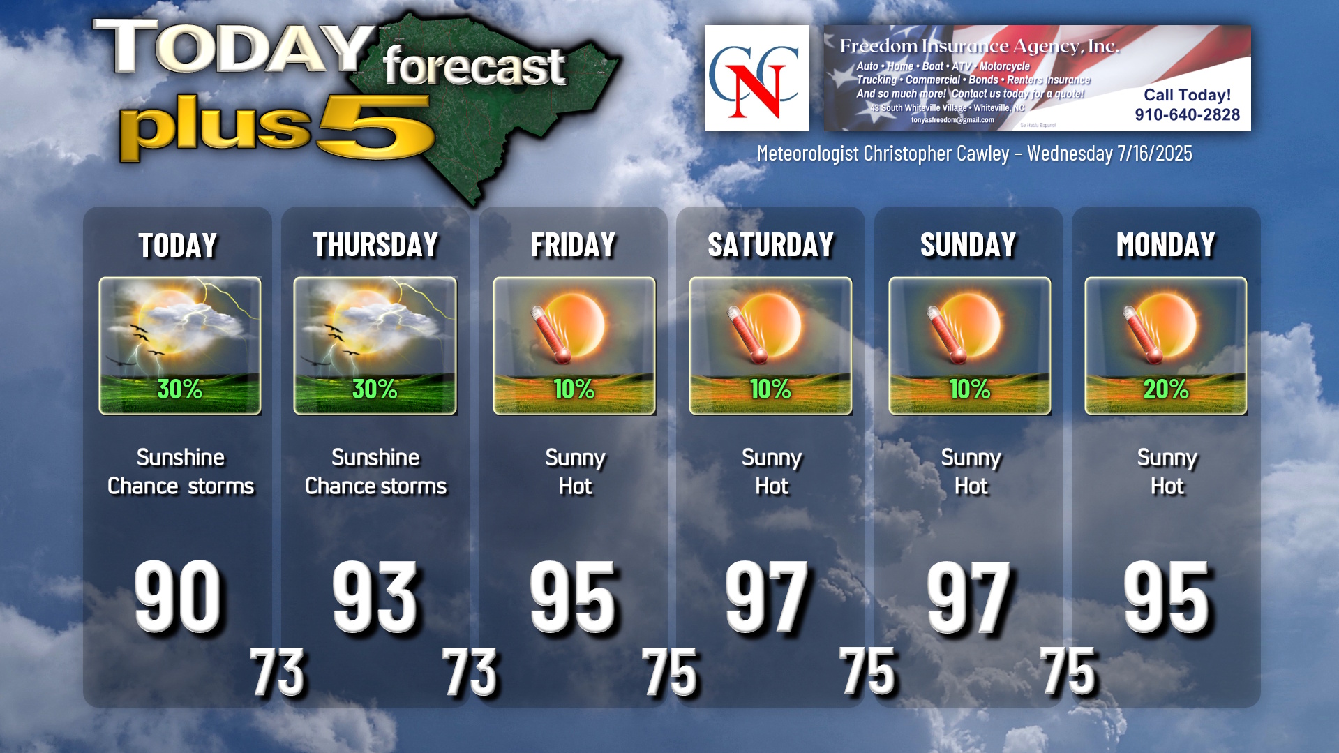
The weekend looks mainly dry and hot… I can’t completely rule out a rogue thunderstorm or two developing, but on the whole it is going to be hot and humid with lots of sunshine through the weekend. NWS heat advisories are looking likely.
A bit of a pattern change (!!) appears to take place as we move into next week. Modeling suggests a bit if a northwest wind flow (!!) which would nudge the high pressure ridge a bit to the east (offshore). Should this occur, a most definite increase in storm activity is possible with temperatures dropping back to seasonal normal values. We’ll see. Until then… we bake.
TROPICAL OUTLOOK: Low pressure off the west coast of Florida continues to be rather disorganized but as the storm moves along the northern Gulf coast, it may take on tropical depression characteristics (if the storm moves far enough offshore).
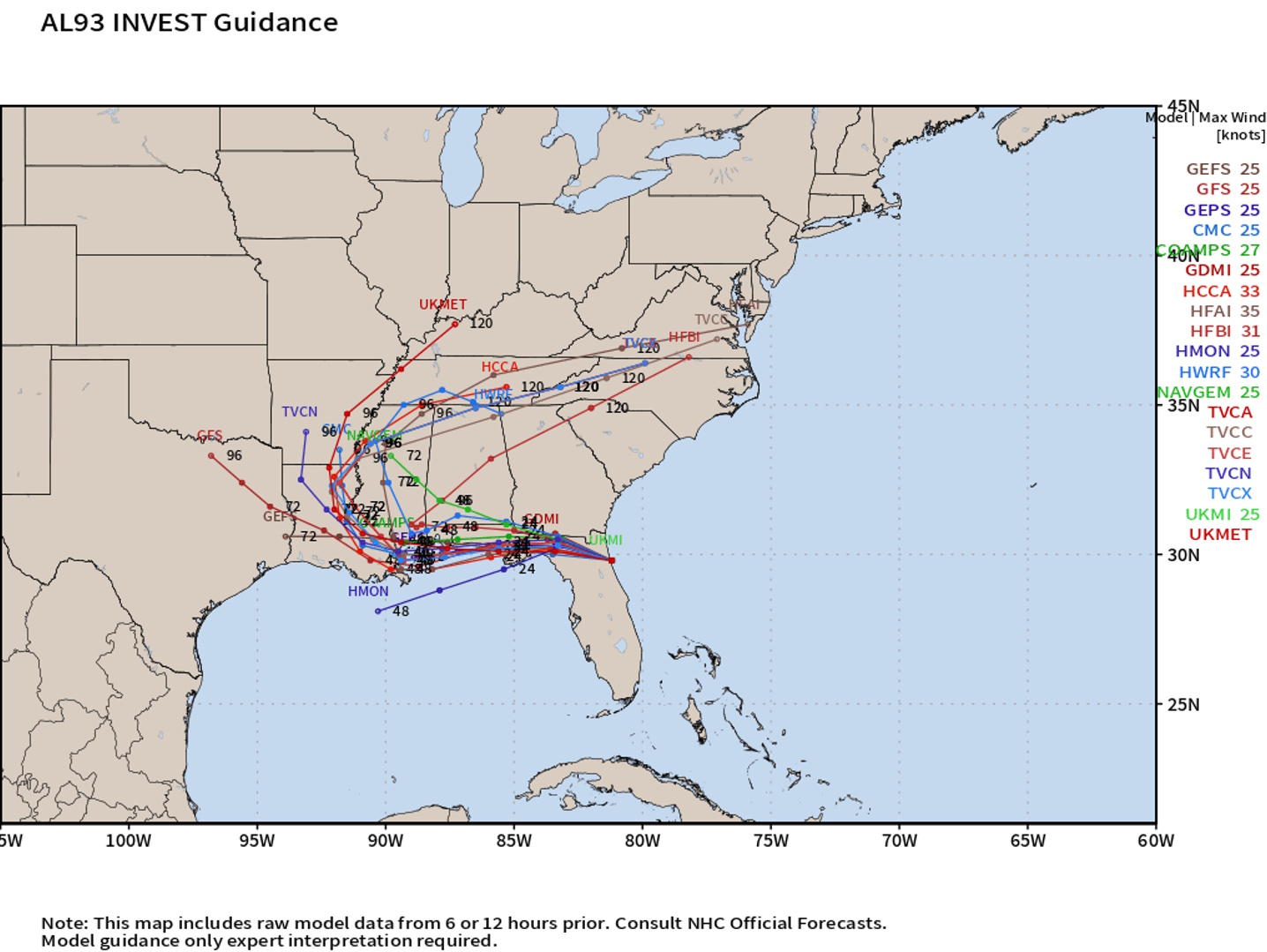
Ultimately this will curve northward along the periphery of a high pressure ridge and will no longer be a tropical threat. According to the NHC, the system has a 40% chance of developing into a tropical system.
This system will have no impact on Columbus County weather, and contrary to what some people are posting on social media, will not become some dramatic intense hurricane crushing New Orleans. Yes, flooding rainfall is likely along the northern Gulf coast. But that’ll be about it.
Here is your Freedom Insurance Today-plus-Five Forecast:
–Meteorologist Christopher Cawley