CCN Weather Update for Saturday August 30, 2025.
This weather update is sponsored by Freedom Insurance of Whiteville. No weather worries with Freedom Insurance. For home, car, boat, or whatever you need, Freedom can provide customized coverage to keep you and your family safe. Contact Freedom today at 910-640-2828!
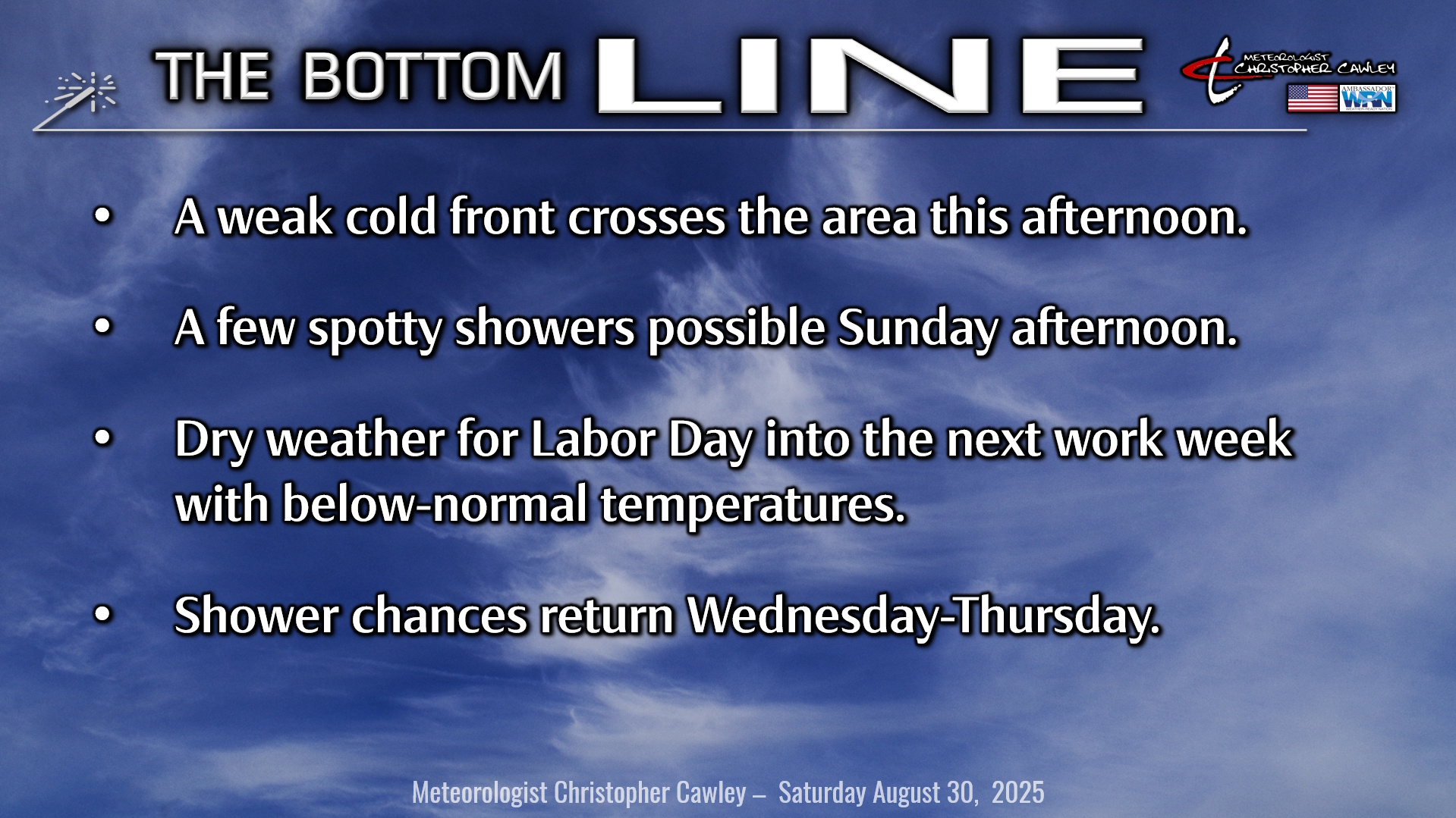
Here’s today’s Bottom Line
A very quiet overall weather pattern to dominate well into next week.
A weak cold front will drop southeast across the area today. This, on the whole, will be an unremarkable frontal passage, but I can’t rule out an isolated shower or rumble of thunder with the front itself.
That clears the area tonight and cooler air starts to fill in. The front will stall in an orientation from southern Georgia extending northeast off the coast. An area of low pressure is still expected to develop along this front on Sunday, and any shower chances will be highly dependent on how close this low is to the coast. Right now, I think it’ll be close enough that we have a chance for a spotty shower Sunday afternoon… slightly better chances if you head to the beaches.
That exits to the north and east and we’re left with bright sunshine and very pleasant temperatures for Labor Day… definitely get out and enjoy it!
Our next chance for showers arrives by midweek as an onshore flow becomes established over the area. Better shower chances as you head to Wilmington, Shallotte, and Southport, but I think anywhere east of I-95 could see at least some scattered shower activity Wednesday and Thursday.
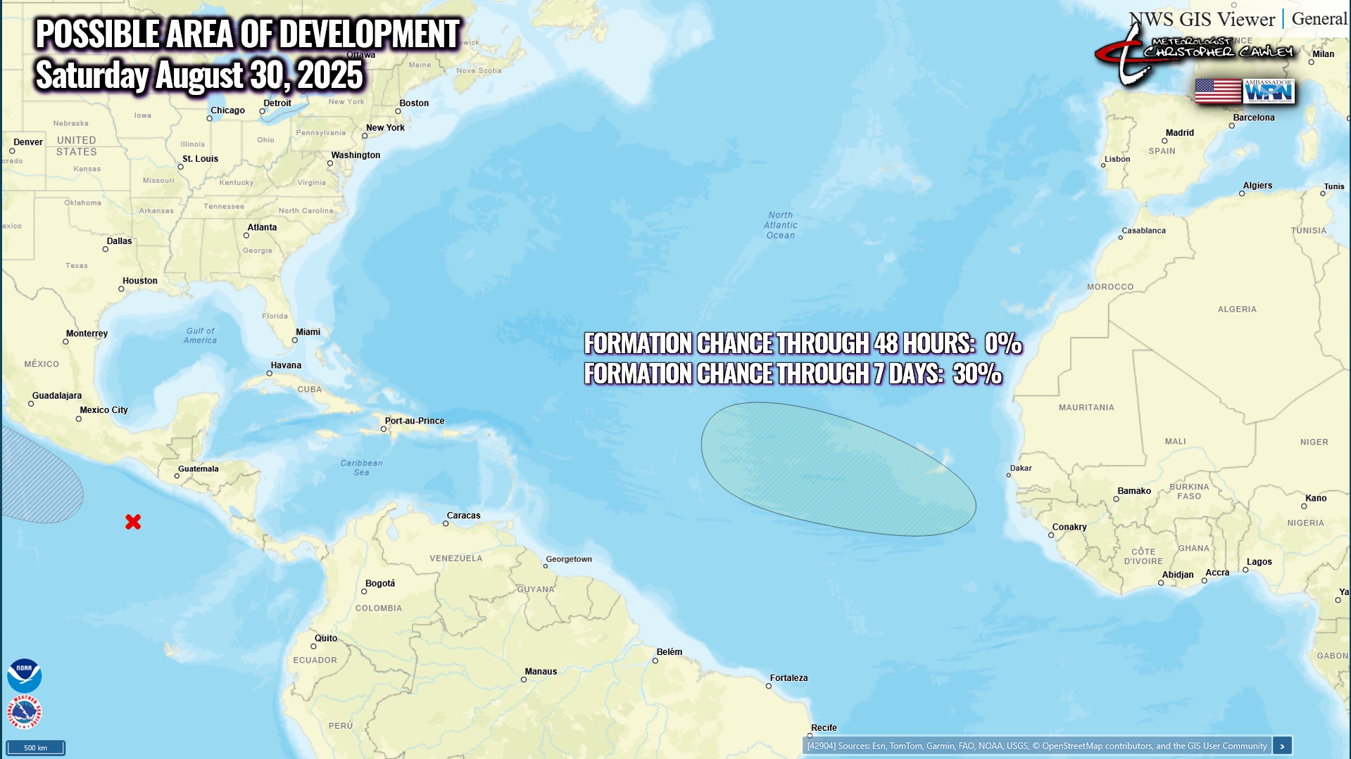
TROPICS: A weak tropical wave is expected to move off the coast of Africa by Sunday. There could be some slow development of this system as it moves into the eastern tropical Atlantic Ocean next week. The NHC gives this a 30% chance for development over the next 7 days.
There are no threats to the Carolinas through at least the next 2 weeks.
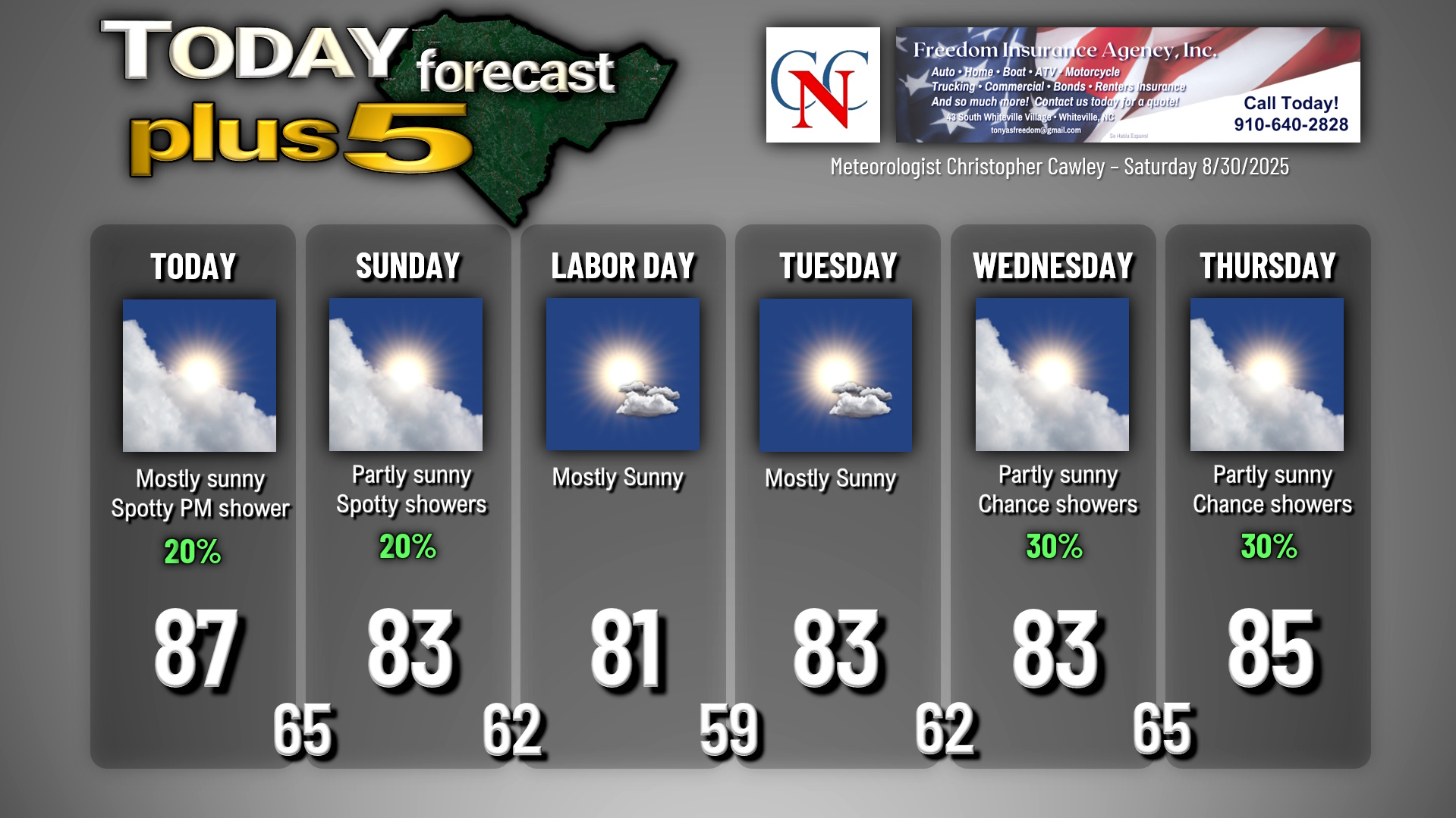
Here is your Freedom Insurance Today-plus-Five Forecast:
–Meteorologist Christopher Cawley


