CCN Weather Update for Tuesday October 28, 2025.
This weather update is sponsored by Freedom Insurance of Whiteville. No weather worries with Freedom Insurance. For home, car, boat, or whatever you need, Freedom can provide customized coverage to keep you and your family safe. Contact Freedom today at 910-640-2828!
Here’s today’s Bottom Line
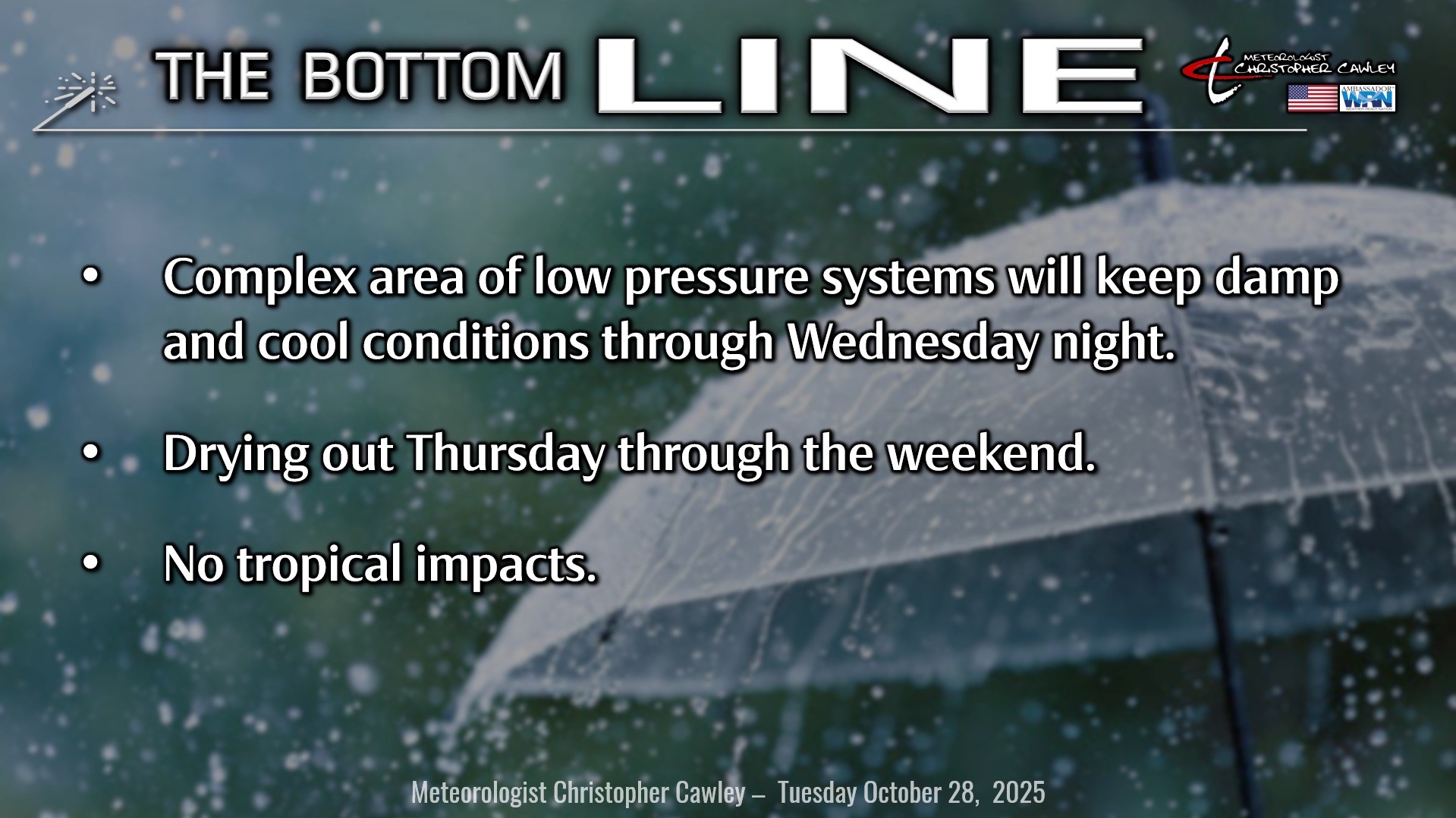
Unseasonably cool and damp conditions will continue today through tomorrow night thanks to a rather complicated weather setup.
As one area of low pressure offshore pulls away, a second one takes up residence a couple hundred miles off the Cape Fear coast. This will linger through Wednesday while a much stronger frontal system works its way across the Mississippi Valley and in our direction for Wednesday.
Scattered showers are likely for today, and we could hear some rumbles of thunder as well thanks to a little bit of elevated instability… despite chilly temps struggling into the upper 50s.
By Wednesday afternoon, our current low will be over the Outer Banks while a warm front extends westward from it toward a third area of low pressure over Atlanta. This all lifts north and east Wednesday night, dragging a cold front through here early Thursday and FINALLY ending the unsettled weather.
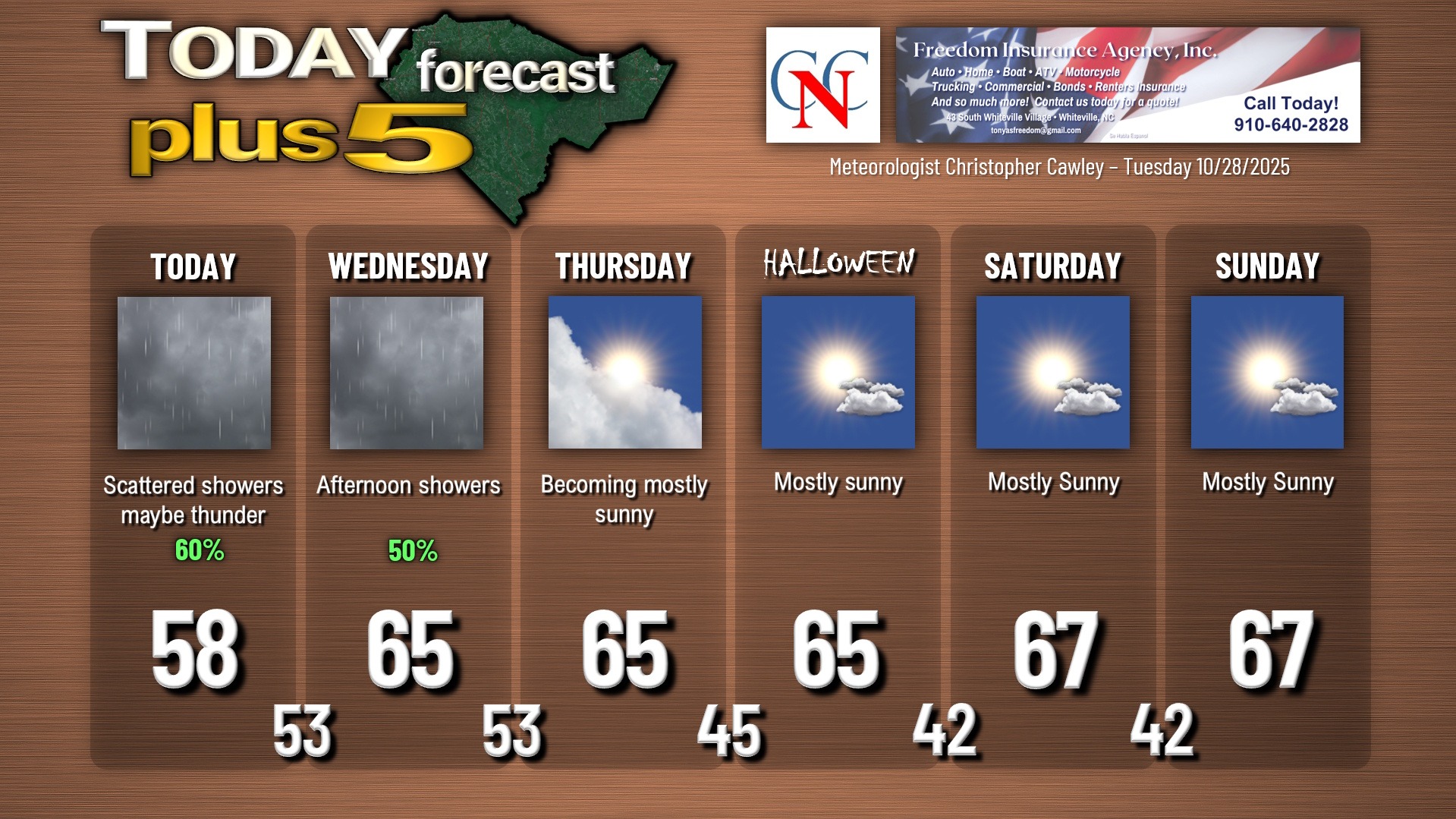
Wednesday should see some breaks of sunshine early in the day, but like Monday, more showers developing in the afternoon with showers and thunder likely Wednesday night.
High pressure builds in for a rather chilly Halloween but slightly milder temps for the weekend.
TROPICS: I’m sure you’ve seen all the social media posts and media coverage of Melissa. She’s an absolute monster, by far the strongest hurricane of the season, and is crushing Jamaica.
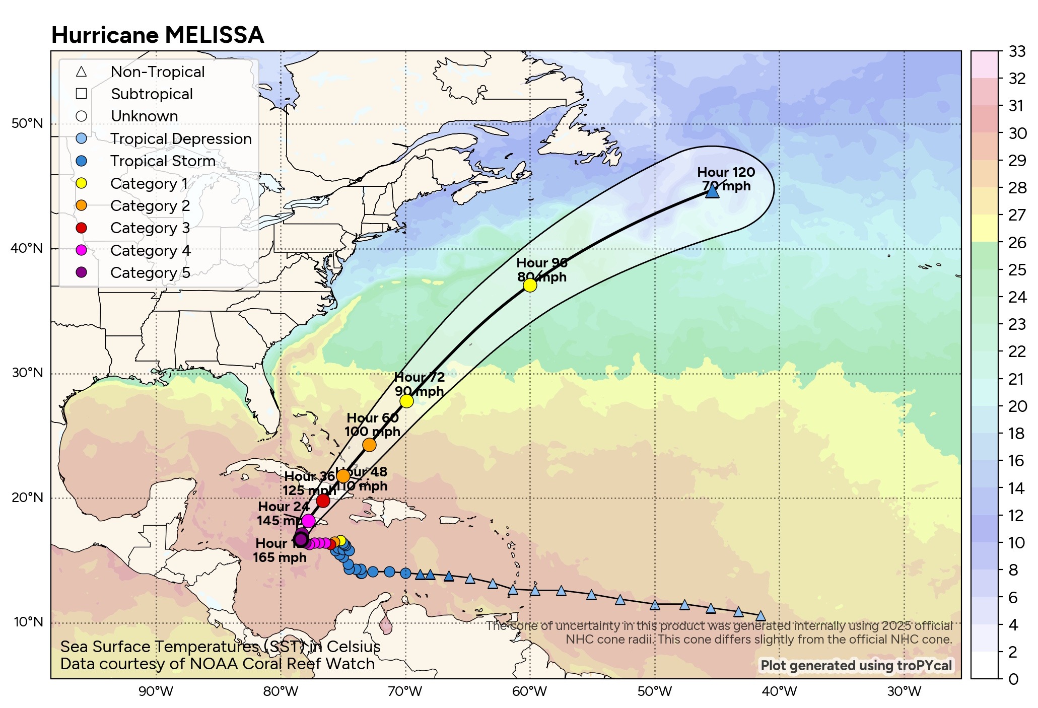
From there, she will really hit the gas pedal and quickly move over Cuba and the Bahamas, and then accelerate across the Atlantic. She will pose zero threat to the continental United States.
There are no tropical threats to the Carolinas for the foreseeable future.
Here is your Freedom Insurance Today-plus-Five Forecast:
–Meteorologist Christopher Cawley