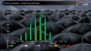
December will get off to a very rainy start as a strong storm system impacts our area with widespread rainfall and the potential for thunderstorms late Monday night through Tuesday.

Another storm system is likely to push up the coast Friday afternoon through Friday night, bringing even more rainfall to the area.
Whiteville experienced a very dry month of November, with only a shade over 0.6″ rain being measured in the uptown area. We’ll eclipse that, likely twice over, Monday night through Tuesday.
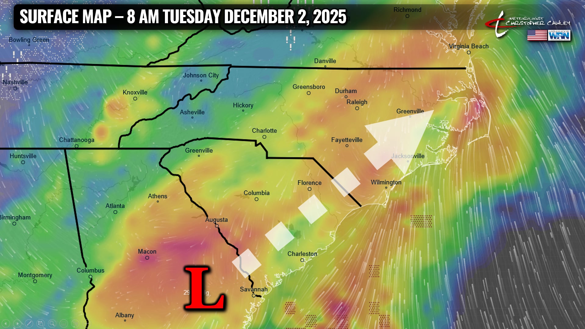
A frontal boundary stalled along the coast will be the conduit for the development of a significant area of low pressure over southern Georgia. This low will quickly dart through the eastern Carolinas during the day Tuesday bringing the heavy rainfall.
There is a threat for thunderstorms Tuesday morning as well. The latest National Weather Service “Hazardous Weather Outlook” points to our area having a “risk for strong thunderstorms Tuesday morning through early Tuesday afternoon. The main hazard [is] wind gusts in excess of 45 mph.”
There is still some uncertainty on the location of a warm front that may push a little inland. If this front moves inland, the threat for thunderstorms would be higher.
According to the latest National Weather Service forecast discussion, “the inland progression of the warm front is expected to be limited, given the track of the low. The low is projected to lift quickly toward DELMARVA by early afternoon Tuesday but given some instability and the strong low-level wind fields, a few strong thunderstorms are possible.”

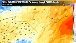
The discussion also highlights the potential for heavy rainfall across the area. Rainfall amounts of 1 to 1.5 inches are likely, “but could be higher if the eventual track of the low is a little slower.”
With regard to the potential for flooding, locally heavy rainfall is likely which could lead to some flooding of the typical low-lying and poor-drainage areas around Whiteville. The ongoing drought over the area should help prevent widespread significant flooding from occurring.
The storm is a memory by suppertime Tuesday as it quickly lifts north and east. Dry weather will return for the mid- and late-week period before another coastal storm brings more widespread, and potentially heavy, rainfall Friday afternoon through Friday night and Saturday. That one will need to be watched for the potential for ice, depending on the track of the low.
–Meteorologist Christopher Cawley–


