CCN Weather Update for Wednesday November 26, 2025
This weather update is sponsored by Freedom Insurance of Whiteville. Trust Freedom Insurance to give you clear blue skies when it comes to home, car, boat, or whatever insurance you need. Let Freedom provide customized coverage to keep you and your family safe. Contact Freedom today at 910-640-2828!
Here’s today’s Bottom Line

One more unseasonably warm day, fairly humid conditions as well, ahead of an Arctic cold front. This front will move through late this evening and leave us with temperatures running well below normal for Thanksgiving through Saturday before we jump back up to seasonal normal values (briefly) Sunday into Monday.
A few spotty showers are possible in the southwesterly flow today, otherwise we’ll see a mix of sunshine and clouds, similar to yesterday. Temperatures will top off around 80 degrees this afternoon.
The front blasts through the area tonight, but it’ll be moisture-starved and dry. Cold air will start pouring in from the northwest late tonight and by time we wake up on Thanksgiving, our temps will be around 40 degrees.
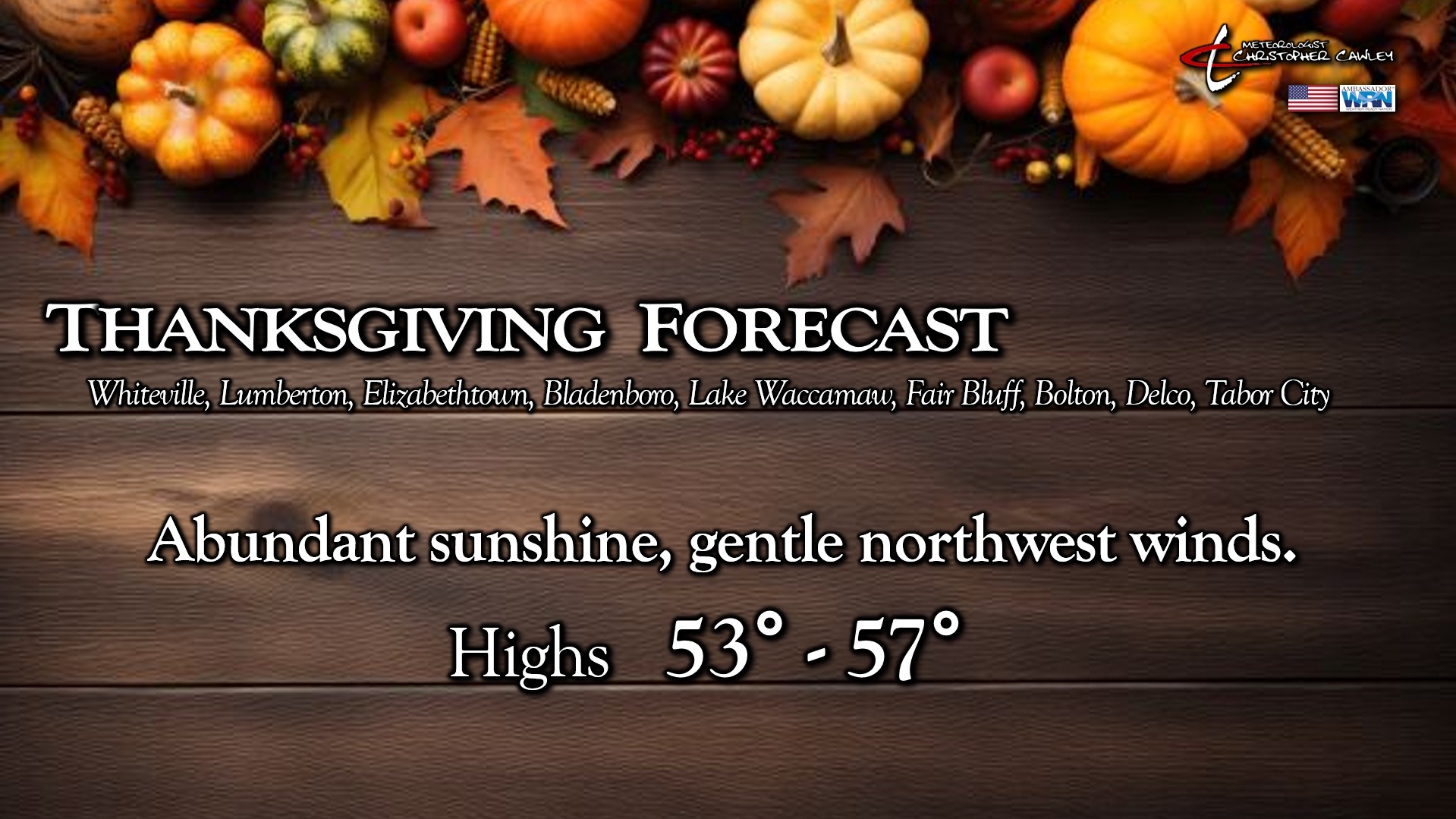
Thanksgiving will be brought to you by bright sunny skies … but our highs will run a good 25 degrees colder. We’ll be lucky to reach the mid 50s despite the full sunshine.
And even THAT is warm compared to what’s coming on Black Friday.
Canadian high pressure will be centered virtually directly overhead Friday. Very dry air will be in place, which could lead to blustery conditions, and even with full sunshine our highs probably won’t get out of the 40s.
A deep, hard freeze is coming Friday night into early Saturday. Clear skies, very dry air in place, and winds becoming calm lead to picture-perfect radiational cooling. Temps will drop deep into the 20s area-wide… I wouldn’t be surprised if some of the typically colder spots dip down to the 20-degree mark.
Bright sunshine continues on Saturday, but with that high slow to push off to the east, our highs only reach the lower 50s.
The high finally pushes offshore by Sunday. This will lead to a southwesterly flow for Sunday allowing a rather dramatic rise in temperatures… back up to where they should be in the mid 60s.
A wedge pattern looks to be taking shape for the first half of next week. A coastal frontal boundary will combine with a high pressure wedge from the northeast, leading to clouds and rain chances … some rather healthy rain chances early next week.
Here is your Freedom Insurance Today-plus-Five Forecast:

–Meteorologist Christopher Cawley