CCN Weather Update for Monday December 15, 2025.
This weather update is sponsored by Freedom Insurance of Whiteville. You can trust Freedom Insurance to give you clear blue skies when it comes to home, car, boat, or whatever insurance you need. Let Freedom provide customized coverage to keep you and your family safe. Contact Freedom today at 910-640-2828!
Here’s today’s Bottom Line
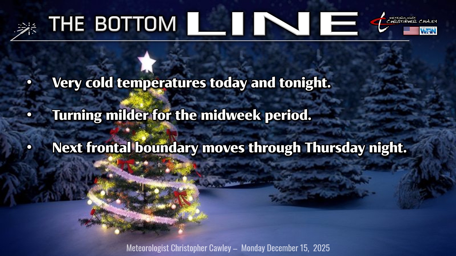
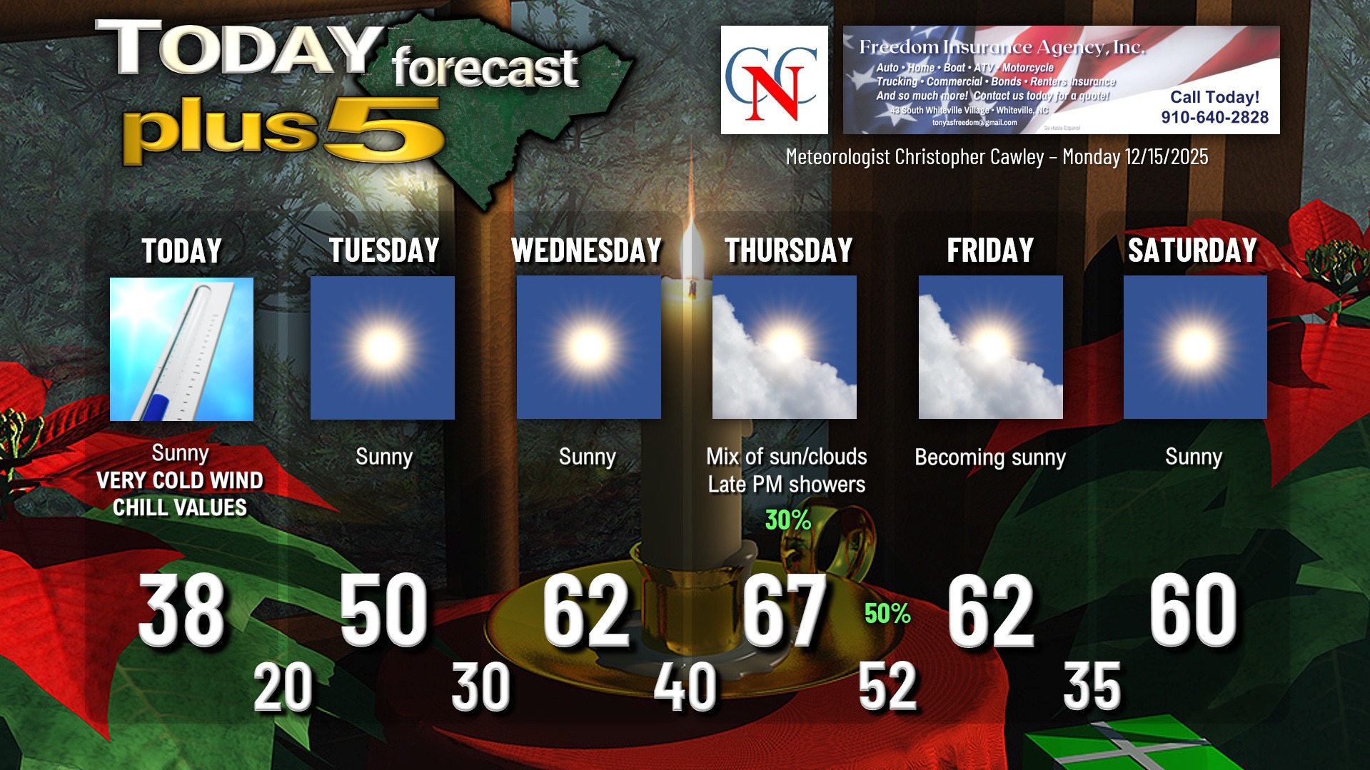
That was some serious cold front, as advertised. It’s obnoxiously cold this morning across the area… and temps really aren’t going up all that much despite the full sunshine we’ll have. Expect highs today in the mid to upper 30s. At least the winds will calm down.
Tonight will be quite cold once again as the high slides over the area. Lows will generally be around 20… although the typically colder spots will drop to between 17 and 20.
Temps rebound quite nicely on Tuesday to around 50 as the high pressure ridge sinks to our south and a more zonal flow becomes established. We won’t be nearly as cold Tuesday night … lows around 30 … and on Wednesday we’re jumping way up into the lower 60s.
A frontal boundary will approach on Thursday, moving through either late in the day or during the overnight, depending on which model you want to look at. Southwesterly flow ahead of this front will jump temps into the upper 60s (possibly flirting with 70), with a chance for showers late in the afternoon.
A better chance for showers comes Thursday night with the frontal passage. This front won’t have nearly the impact of the one we had yesterday, and our highs on Friday will still run above seasonal normal values. Temps continue to run above normal going into the weekend with highs around 60 or into the lower 60s. Aside from Thursday/Thursday night, precipitation chances are slim to none.
Here is your Freedom Insurance Today-plus-Five Forecast:
–Meteorologist Christopher Cawley