CCN Weather Update for Thursday February 26, 2026.
This weather update is sponsored by Freedom Insurance of Whiteville. You can trust Freedom Insurance to give you clear blue skies when it comes to home, car, boat, or whatever insurance you need. Let Freedom provide customized coverage to keep you and your family safe. Contact Freedom today at 910-640-2828!
Here’s today’s Bottom Line:
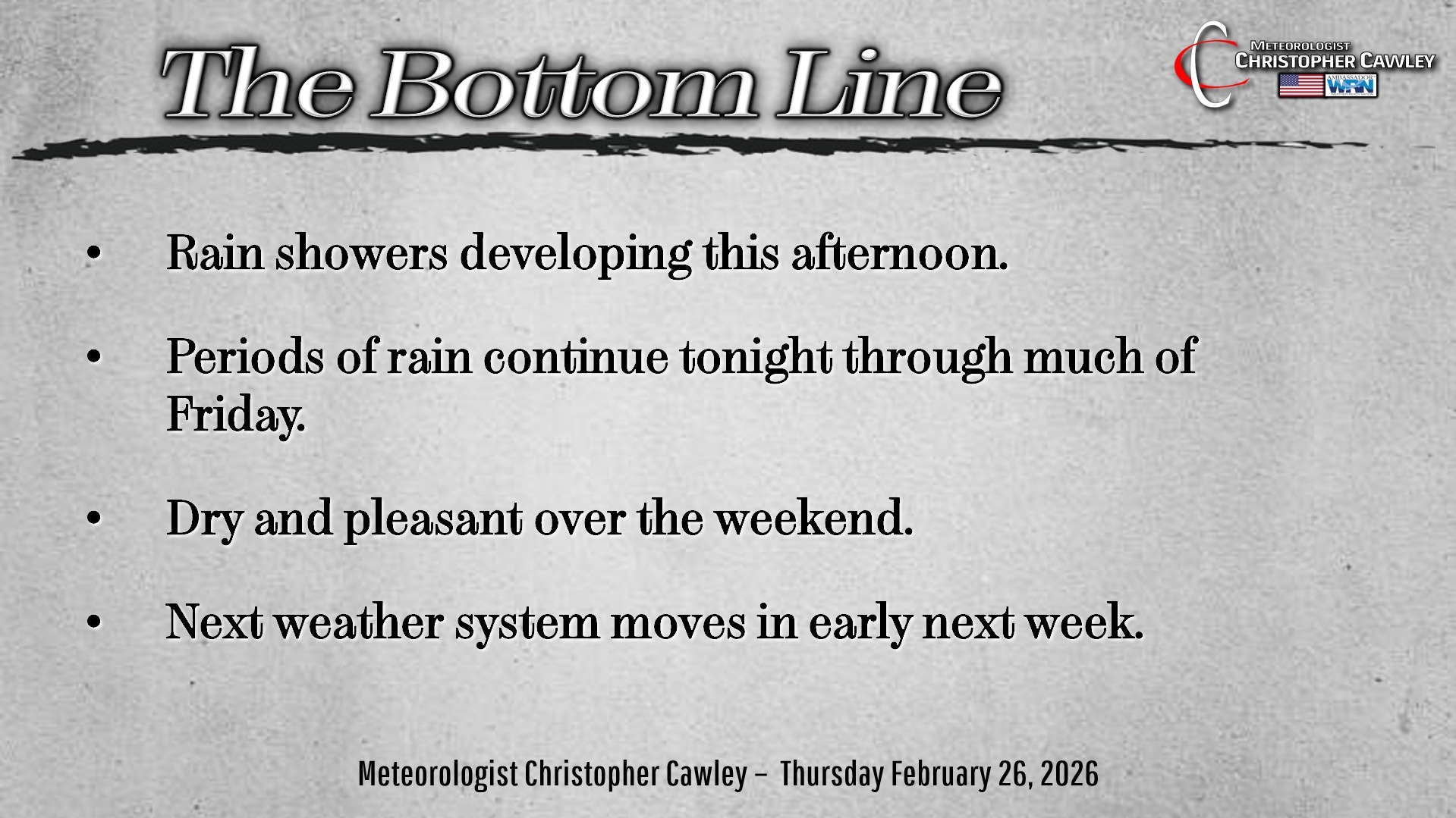
We’ll have a rather slow-moving weather system impact our weather from later this afternoon through Friday bringing the potential for a decent amount of rain.
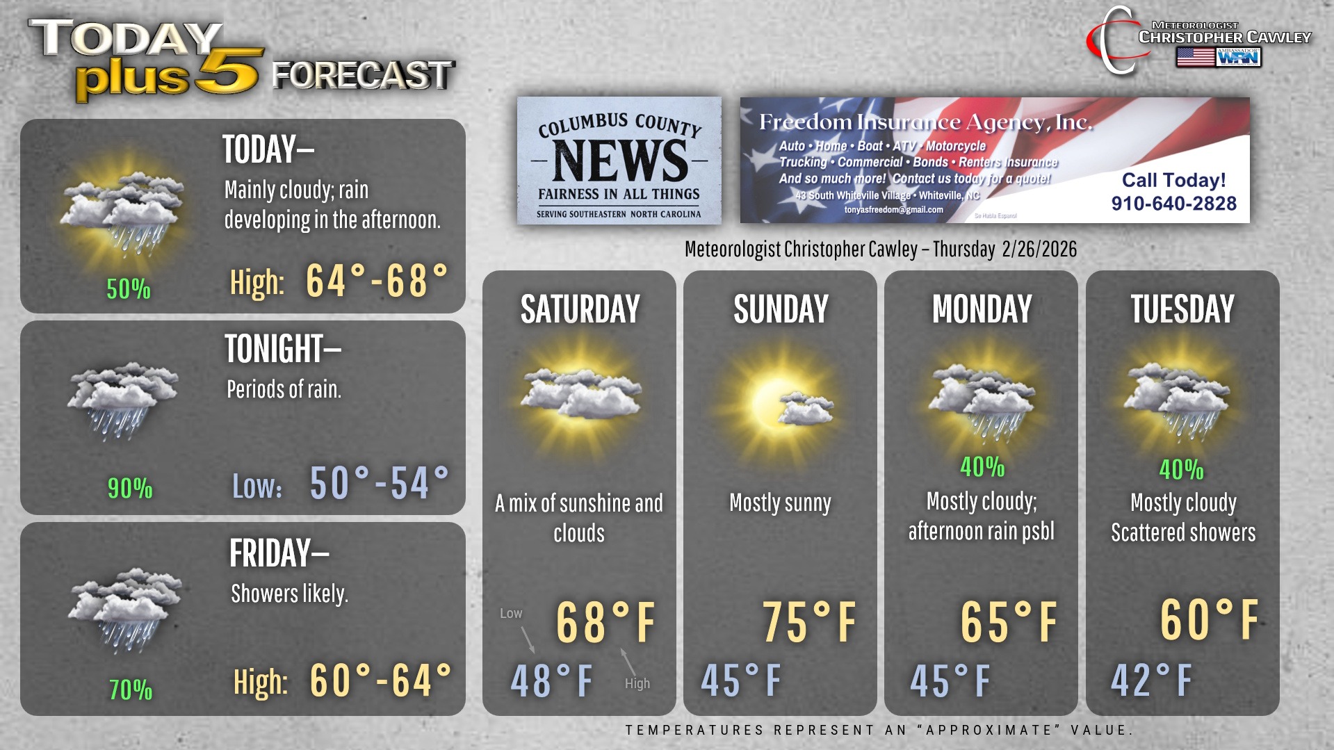
A cold front will move slowly southeastward across the state today. Modeling shows that some light shower activity may occur through the morning while an area of steady/heavier rain exists off to our north. As the front sags into the area, short-term high-res modeling shows showers… and a hint of some convective elements… moving into the area during the mid-afternoon through suppertime. There is a little bit of elevated instability showing up in the modeling, which may cause some moderate to heavy rain to occur, and perhaps a rumble of thunder around suppertime.
The front continues to push slowly … and I mean slowly … across the area Thursday night. Both the Euro and GFS modeling suggests periods of rain will be the rule. The rainfall guidance seems a bit on the high side… the past several events have advertised quite a bit higher than what actually occurred. Showery conditions should continue through most of Friday morning, with things wrapping up by the afternoon.
High pressure builds in over the weekend with dry conditions and mild temps… especially Sunday as highs jump into the mid 70s.
A stationary front will become established over the area early next week which will bring a returned chance for some shower activity. My temperature forecast is essentially a guess, based on projected position of the front shown by modeling and the WPC guidance.
Here’s your Freedom Insurance Today-plus-Five Forecast!
–Meteorologist Christopher Cawley