Whiteville public works and emergency personnel began preparations Tuesday for the pending winter storm.
“We gathered the crews this morning and began checking equipment,” Emergency Services Director Hal Lowder said. “We’re going to be prepared for the worst, and hope for the best.”
A significant winter storm is bringing frigid temperatures and frozen precipitation to the region beginning as early as Saturday, according to the National Weather Service. Snow, freezing rain and sleet are possible. The NWS cautions that it is still too early to tell exactly what the impacts will be here.
Power outages are possible due to falling trees and limbs, the NWS said.
“Never approach a downed power line,” Lowder said. “It doesn’t take much ice to break a tree limb and pull down a power line.”
Lowder said residents should take steps to protect their pipes from freezing. City crews are already checking vulnerable lines in the city water system.
Crews will be on standby through the storm to keep streets clear as possible for emergency traffic, but Lowder said the safest place to be is at home during an ice event.
“There’s no reason to go out joyriding,” he said. “You endanger yourself, other people and the first responders who have to come help you. Bundle up, stay home and stay safe.”
Facts of Life Church has opened its warming shelter from 7 p.m. until 7 a.m. nightly during the cold weather. The shelter opens whenever temperatures at night fall to 40 degrees or below. It is available to anyone without reliable heat.
County Emergency Management Director Kay Stephens told commissioners tonight (Tuesday) that no decision has been reached on opening shelters in the county. The emergency command center will be opened if conditions warrant, she said.
“Right now we’re getting ready,” she said.
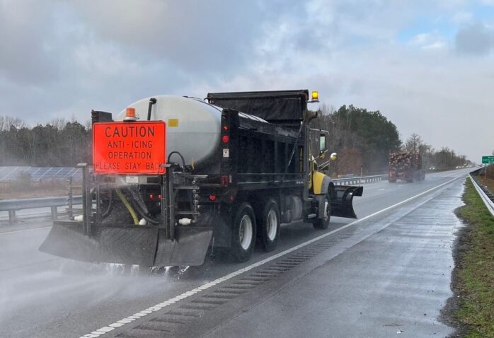
Department of Transportation crews are preparing to brine major routes to reduce icing, but freezing conditions are likely on all roadways in the county beginning Saturday through Monday.
Be sure to follow Meteorologist Christopher Cawley’s daily local forecasts on CCN and social media.