CCN Weather Update for Friday February 20, 2026.
This weather update is sponsored by Freedom Insurance of Whiteville. You can trust Freedom Insurance to give you clear blue skies when it comes to home, car, boat, or whatever insurance you need. Let Freedom provide customized coverage to keep you and your family safe. Contact Freedom today at 910-640-2828!
Here’s today’s Bottom Line:
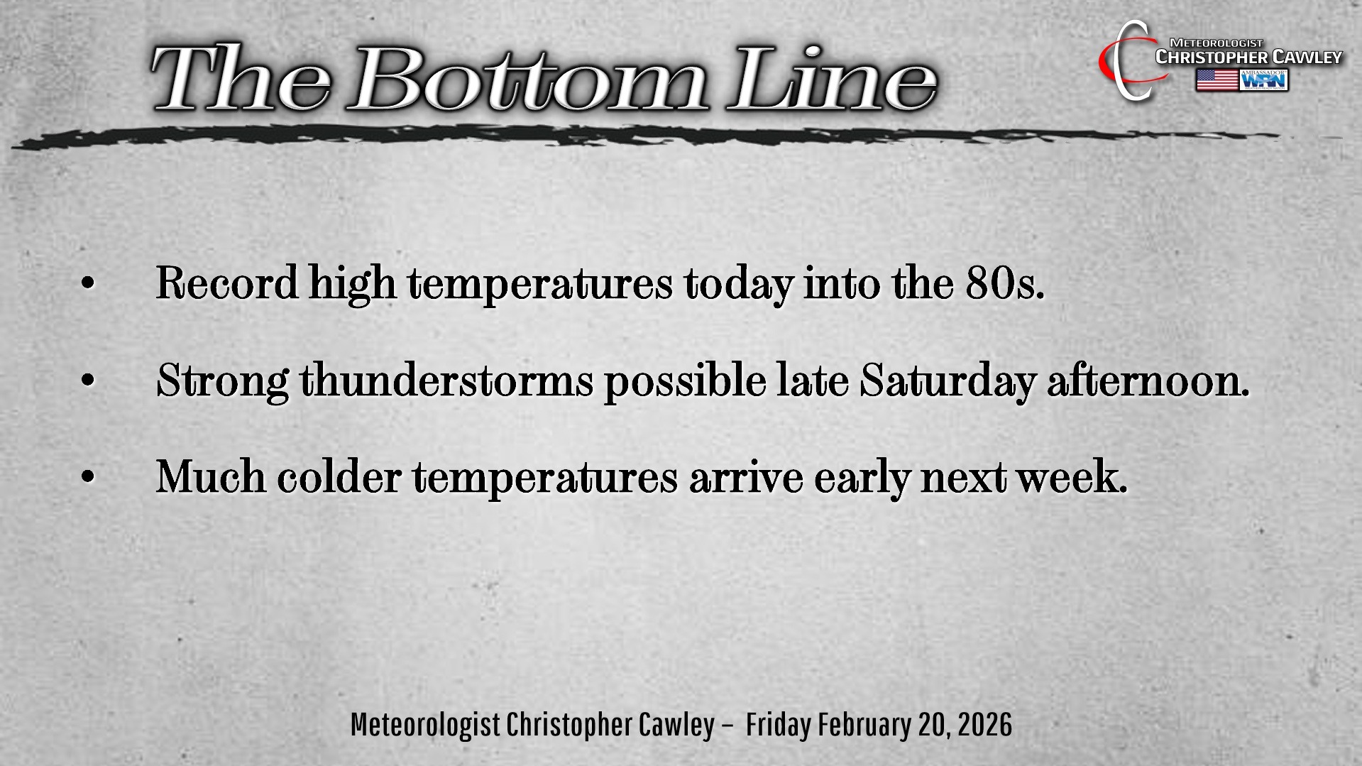
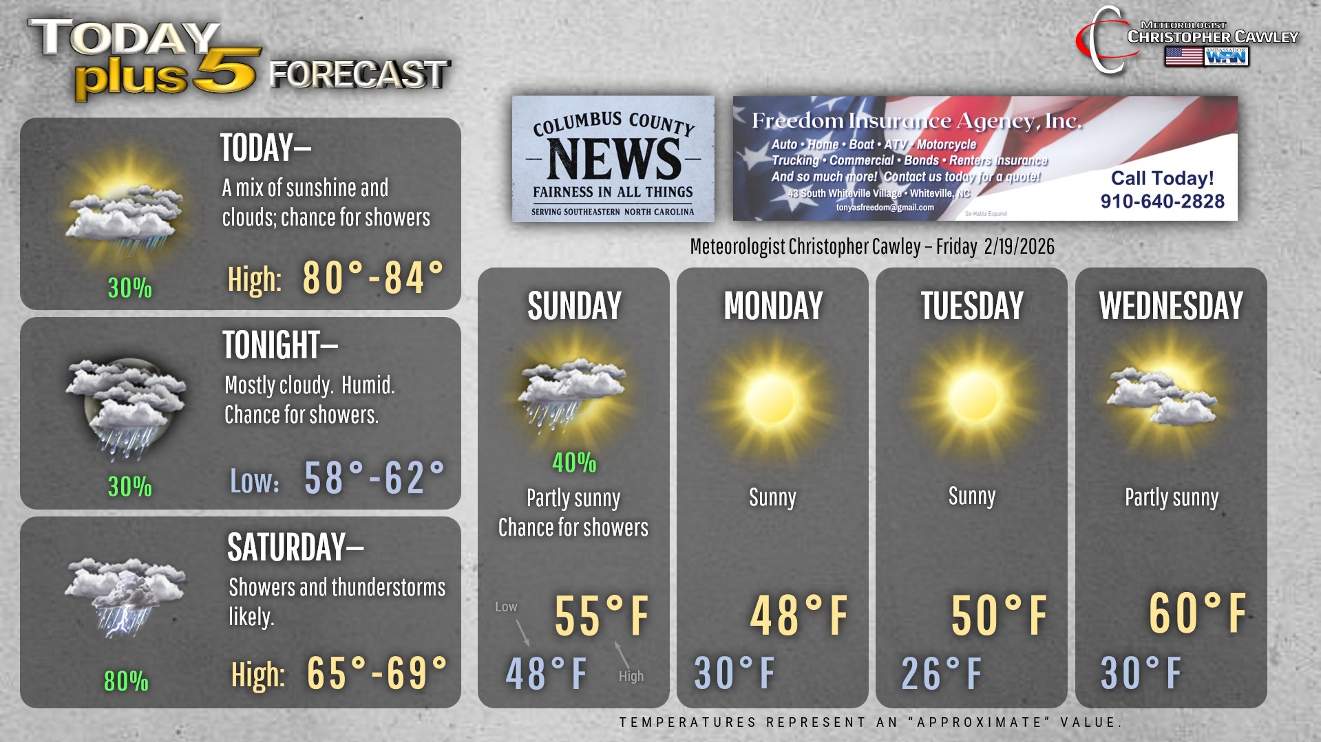
Record high temps are going to fall today. We’ll have clouds and a chance for showers, which will likely give way to considerable sunshine by the afternoon. That sunshine will help boost our temps up, up, up into the lower 80s across the county.
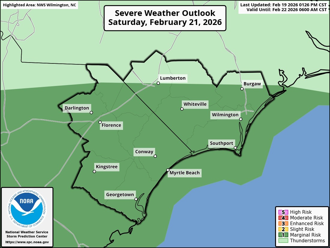
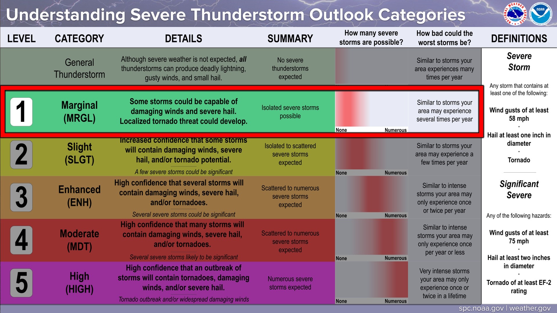
Saturday will be the day to keep an eye on. The National Weather Service Storm Prediction Center has placed the southeastern corner of North Carolina under a “marginal risk” (level 1 out of 5) for severe weather. The primary risk is that of an ISOLATED damaging wind gust and an ISOLATED spin-up tornado. On the whole, the better chances are much farther to our south, in central/southern Georgia and central/southern South Carolina.
Otherwise, showers and thunderstorms are likely as a cold front brings “false spring” to a conclusion Saturday afternoon. Rainfall amounts look decent… generally between one-half and one-inch of rainfall can be expected, with locally higher amounts depending on who gets thunderstorms.
Much, MUCH colder temperatures will arrive early next week, with high temps struggling to reach the 50-degree mark on Monday and Tuesday. But at least we’ll be under the influence of dry high pressure. No threat for frozen precipitation.
Here’s your Freedom Insurance Today-plus-Five Forecast!
–Meteorologist Christopher Cawley