Columbus County NEWS Weather Update for Thursday July 9, 2026.
This weather update is sponsored by Freedom Insurance of Whiteville. Trust Freedom Insurance to give you clear blue skies when it comes to home, car, boat, or whatever insurance you need. Let Freedom provide customized coverage to keep you and your family safe. Contact Freedom today at 910-640-2828!
Here’s today’s Bottom Line
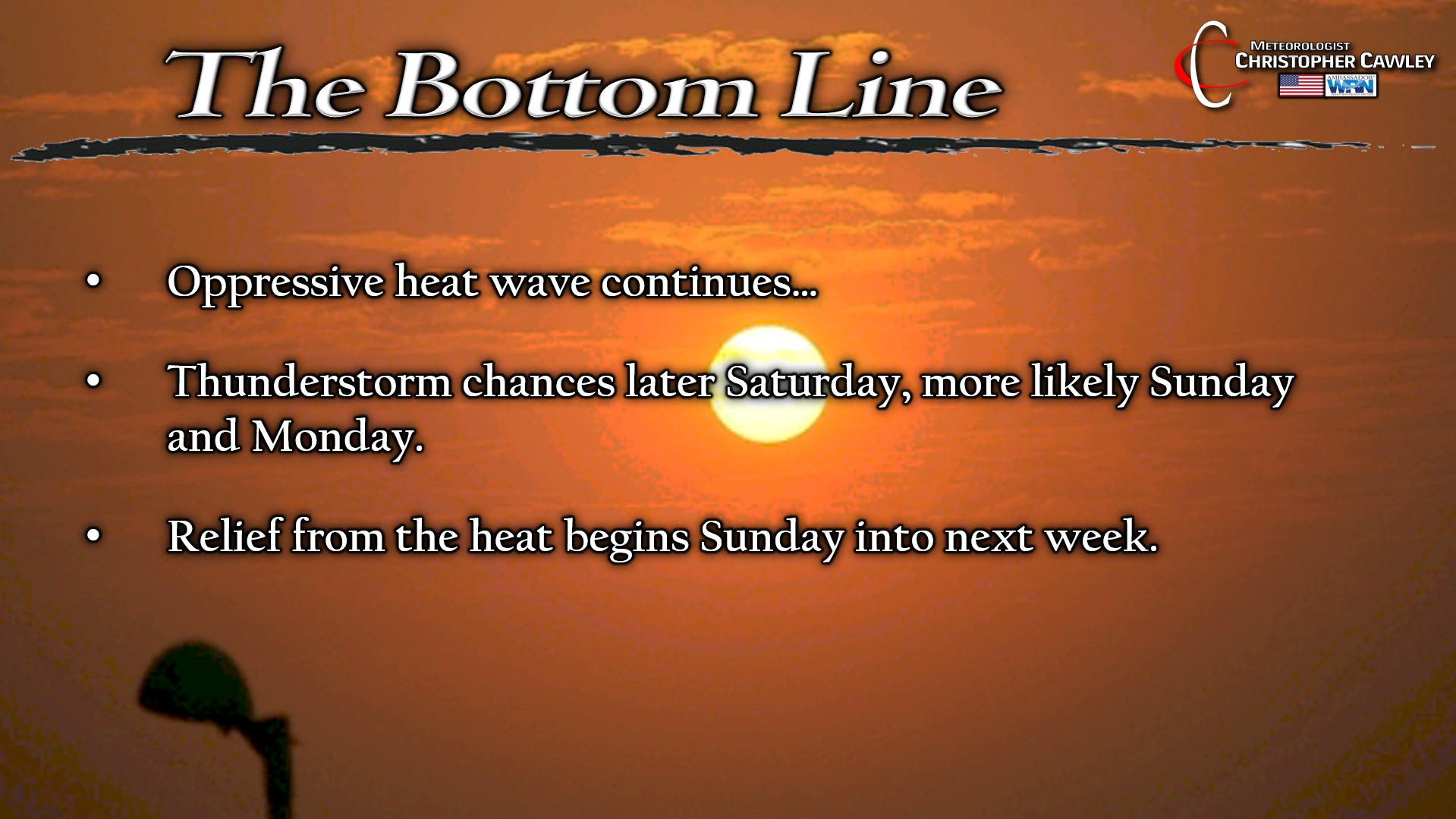
The great heat wave of 2026 continues today (and Friday… and Saturday).
Heat advisories again today across southeast NC. As of this writing the NWS was a bit “on the fence” about whether or not to issue an extreme heat warning. For a warning, the heat index (at the airports) has to be 110+. It will likely eclipse the 110 mark in the downtown areas but the “official” readings at the CPC airport may come up just short. Either way, we’ll be solidly in the advisory criteria (105-109).
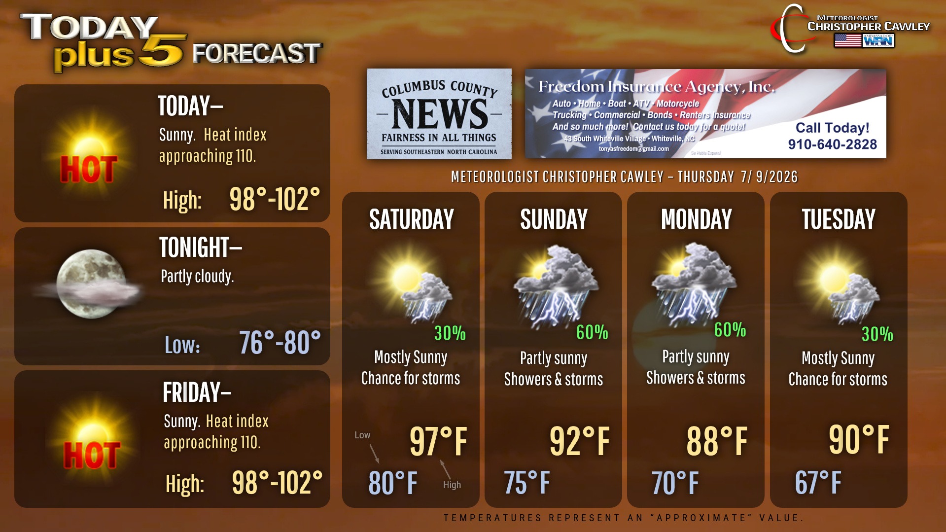
Actual high on my station in Whiteville yesterday was 102. We’re likely going to be in that 98-102 range today and tomorrow as the high pressure ridge “flattens” a bit over the area.
Saturday will be a touch cooler as things begin to change. Thunderstorm chances also return to the area late Saturday afternoon.
The high pressure ridge shifts well to our west by Sunday. This allows a cold front (remember what those are?) to drop over the area late Sunday and kind of linger to our south into Monday. Thunderstorms are likely for Sunday into Monday… and this could be a good setup for some rather intense storms, as well as some areas receiving beneficial rainfall.
But the biggest story will be RELIEF from the heat wave. I can confidently say that the heat wave ENDS with this frontal boundary. Highs will actually be a touch cooler than normal on Monday but should return to seasonal normal values (lower 90s) through the middle of next week.
Here is your Freedom Insurance Today-plus-Five Forecast:
–Meteorologist Christopher Cawley
Copyright 2026 Christopher Cawley and Columbus County News All Rights Reserved.