

Columbus County NEWS Weather Update for Sunday July 12, 2026.
This weather update is sponsored by Freedom Insurance of Whiteville. Trust Freedom Insurance to give you clear blue skies when it comes to home, car, boat, or whatever insurance you need. Let Freedom provide customized coverage to keep you and your family safe. Contact Freedom today at 910-640-2828!
Here’s today’s Bottom Line
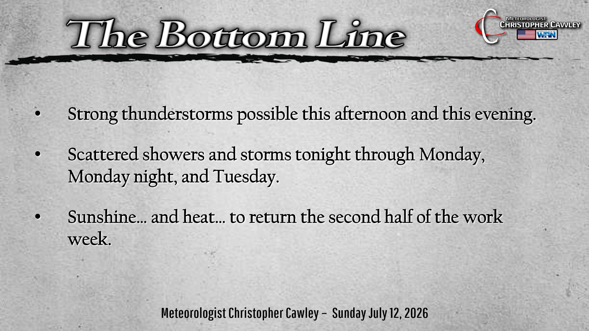
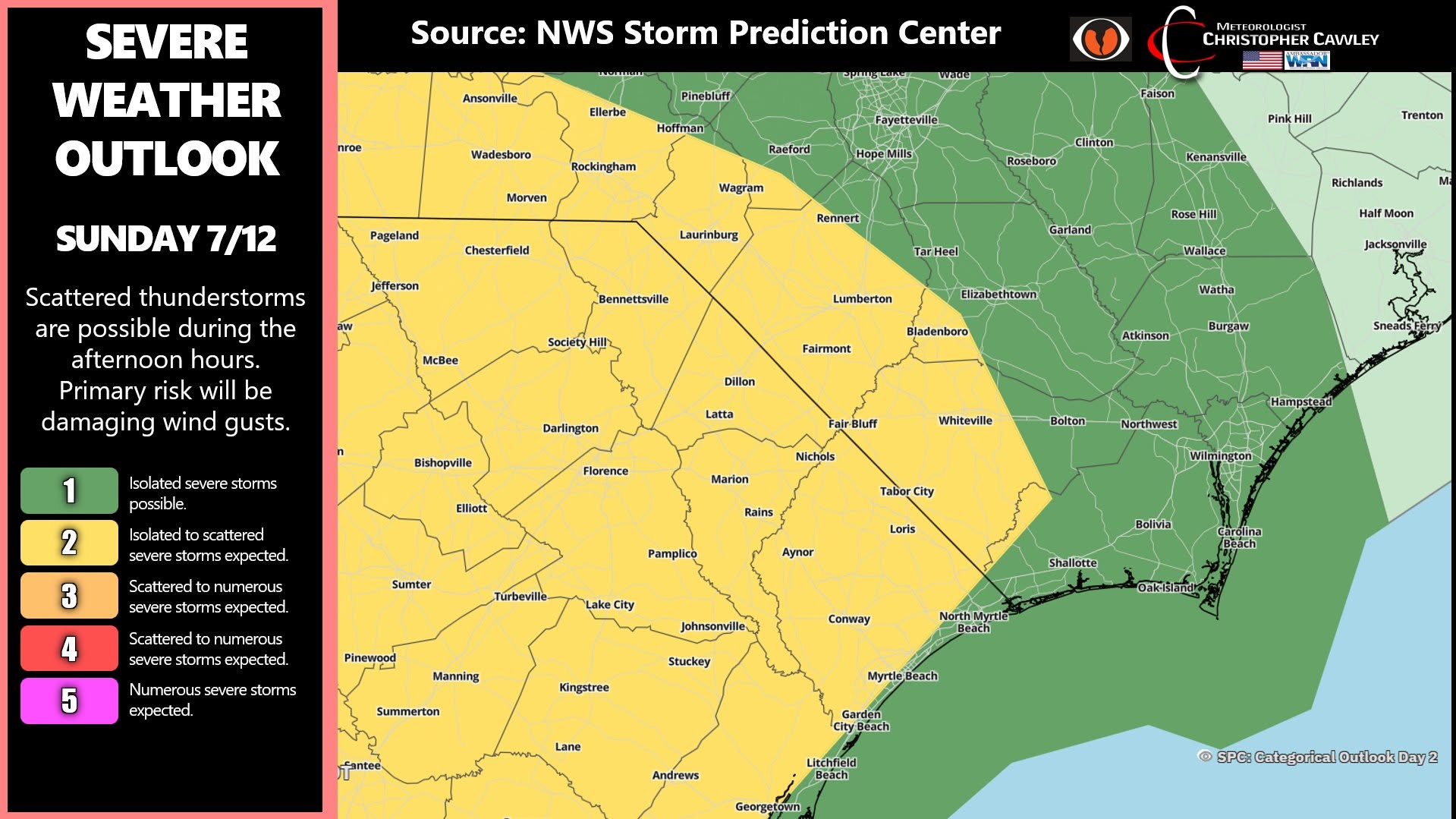
A cold front will drop south over the area later this afternoon into the evening. This will result in another day with thunderstorm clusters developing and dropping southeast over the region. These storms could be strong to severe, with isolated damaging winds possible. The Storm Prediction Center has the western half of the county under a level 2 severe risk, with a level 1 for the eastern half. I think most of the stronger storms will be in South Carolina, but ANY storm that develops will likely have excessive amounts of lightning and gusty winds (even below severe limits).
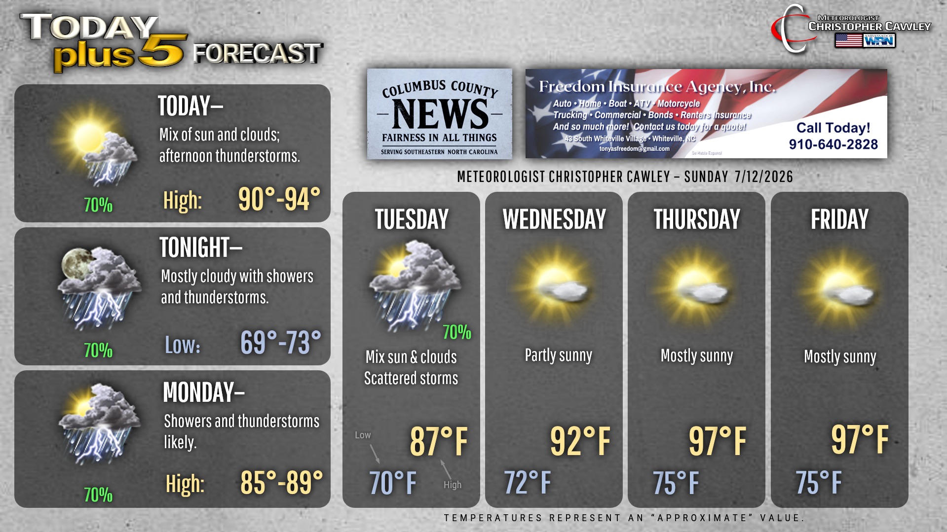
Scattered showers and thunderstorms will likely continue through tonight and Monday, into Monday night and Tuesday, as the frontal boundary lags close to the area. Some places could pick up several inches of beneficial rainfall.
High pressure will finally build in for the second half of the week. Unfortunately that means a return to dry weather and increasingly hot temperatures, possibly resulting in more heat advisories.
Here is your Freedom Insurance Today-plus-Five Forecast:
–Meteorologist Christopher Cawley