

Columbus County News Weather Update for Monday September 14, 2026.
This weather update is sponsored by Freedom Insurance of Whiteville. Trust Freedom Insurance to give you clear blue skies when it comes to home, car, boat, or whatever insurance you need. Let Freedom provide customized coverage to keep you and your family safe. Contact Freedom today at 910-640-2828!
Here’s today’s Bottom Line
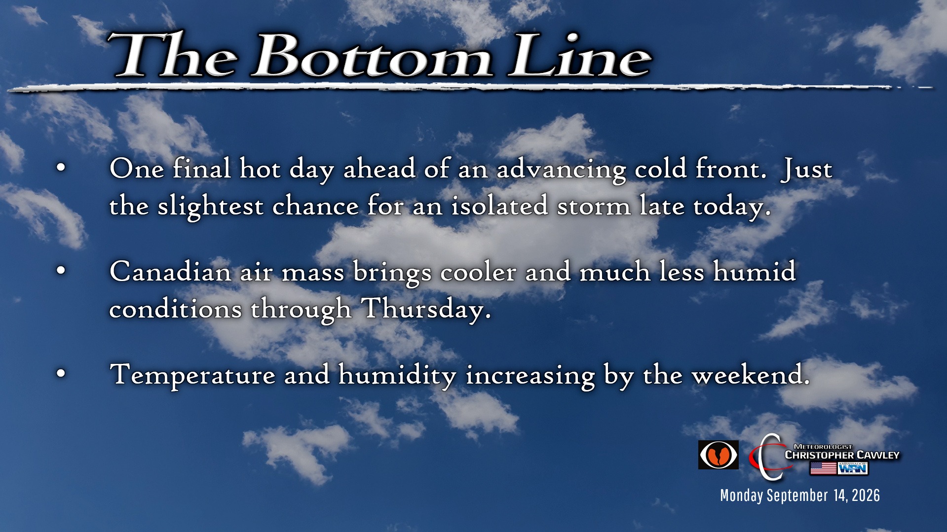
We’re going to have one final hot and humid day today. Highs will cruise into the mid 90s with heat index values 100-105.
There’s just the slightest chance for a rogue thunderstorm mainly over the eastern portions of the county later this afternoon or early this evening. I highly doubt it, though. The sea-breeze will be pinned close to the coast thanks to an advancing dry frontal boundary. I’m not confident enough on the storm chance to include it in the forecast graphic, but it could happen.
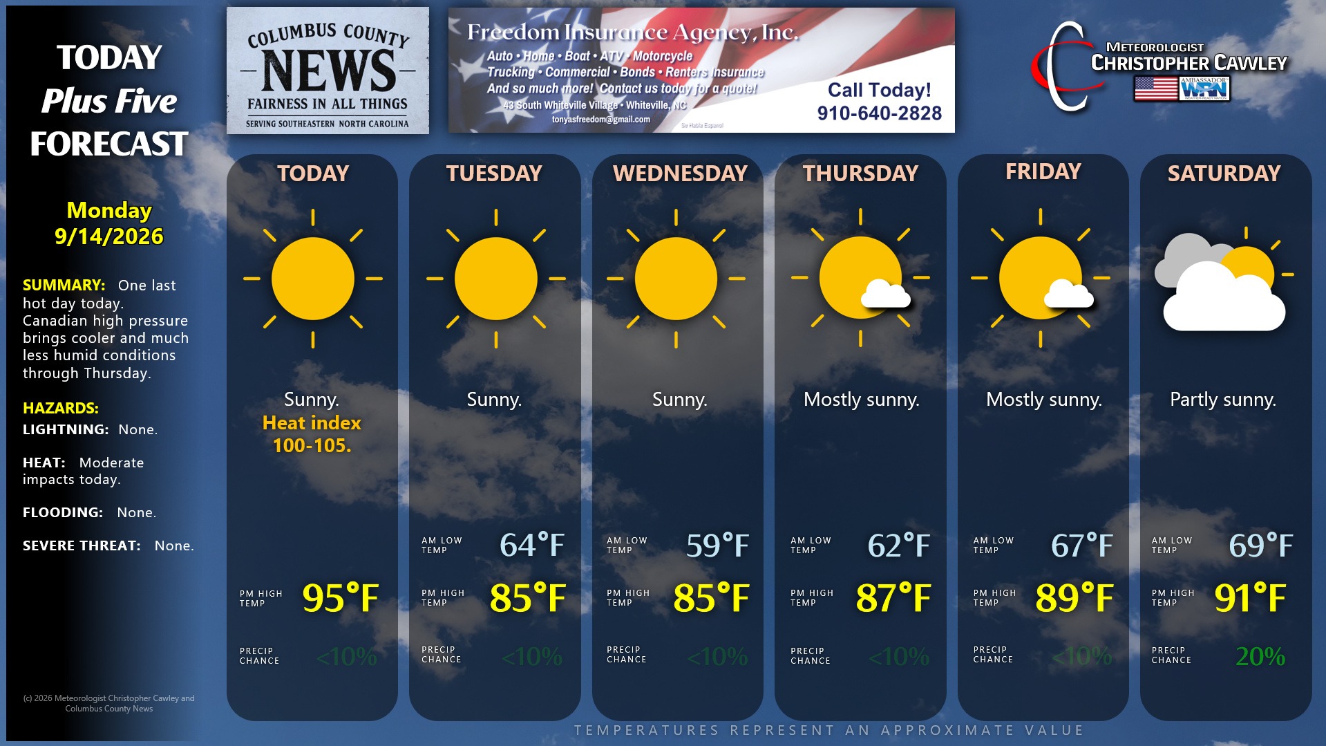
Then … CHANGE. If you’re as DONE as I am with the heat and humidity, you’re going to love Tuesday-Friday. The cold front clears the coast during the overnight. Temps Tuesday morning will be in the lower 60s (!!), and if that’s not good enough, we should be in the upper 50s to around 60 at the bus stop Wednesday morning. Afternoon highs will be in the mid 80s with humidity levels dropping in the 25% to 35% during the afternoon.
A return flow of warmer and more humid air will take place by the end of the week, in advance of the next weather system.
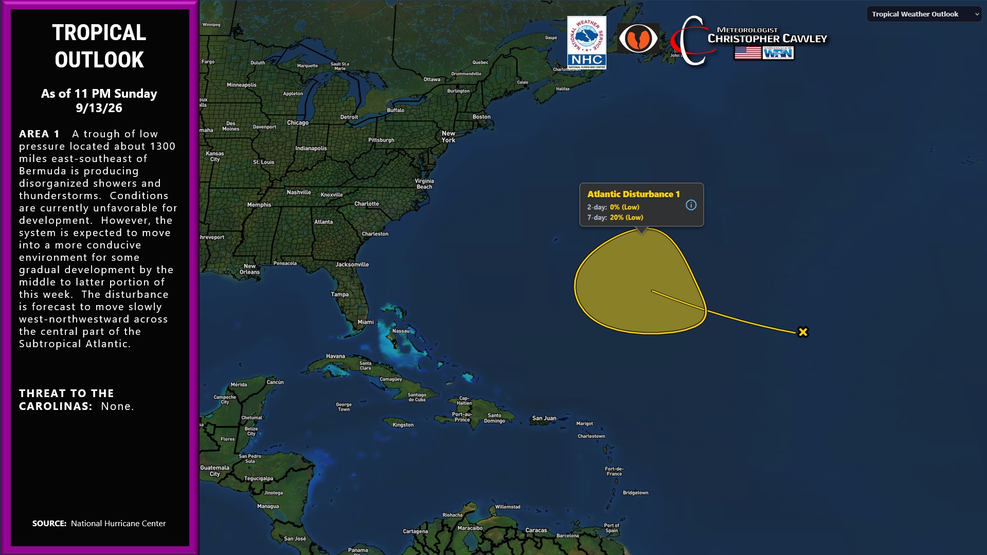
TROPICS: The NHC is watching a trough of low pressure roughly 1300 miles ESE of Bermuda. Right now this is just an area of disturbed weather. Strong upper-level winds are making the atmosphere unfavorable for development at this time. The showers and storms are disorganized and I don’t see any reason to expect development over the next several days.
Here is your Freedom Insurance Today-plus-Five Forecast:
–Meteorologist Christopher Cawley