


Greetings friends and followers, welcome to the Tuesday edition of the CCN Weather Update.
This weather update is brought to you by our friends at Freedom Insurance in Whiteville. When severe weather strikes, have the peace of mind that your vehicles and property are well covered. Visit our office for comprehensive policy quote that will fit all of your needs. Call us at 910-640-2828 or stop in at the south end Hills shopping plaza.
STATISTICS FOR WHITEVILLE – Monday March 3, 2025.
High: 62.0°F at 2:47 PM (normal is 62)
Low: 28.5°F at 6:38 AM (normal is 36)
Precip: 0.00 in
View live, real-time weather data for Whiteville on my College Street Weather Station.
Here’s your Bottom Line for today…
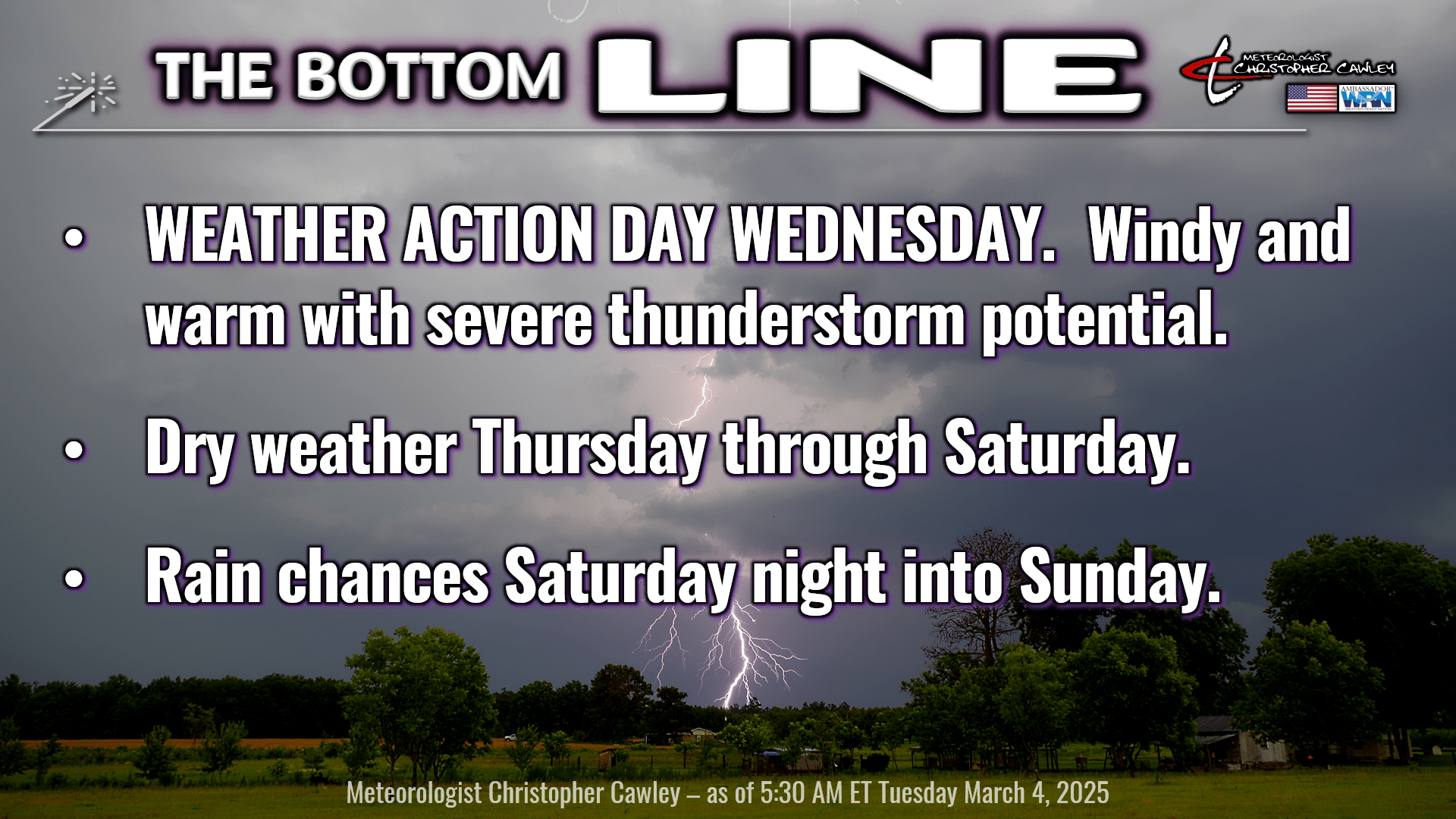
Quiet weather today. High pressure slips offshore allowing a southerly wind flow into the area. A warm front will be approaching the area from the south; we’ll see gradually increasing clouds through the day but we should remain dry.
The warm front comes chugging south to north overnight tonight. We’ll have lows tonight in the mid 50s, but that will come early; temperatures are likely to be well into the 60s by time we get up on Wednesday morning. There may be a few stray showers during the overnight but anything we get will be spotty and very light.
WEATHER ALERT DAY FOR WEDNESDAY – INCREASING POTENTIAL FOR SEVERE WEATHER
The NWS Storm Prediction Center has all of eastern NC under a level 3 out of 5 risk for severe weather on Wednesday. An upper-level low pressure center will move from the Plains northeastward through the Great Lakes throughout the day. There’s a low-level jet (really low – like 2,000 feet off the ground) screaming at 60-75 mph and, as mentioned yesterday, jaw-dropping wind shear values over the area.
Windy conditions, gusting 40-50 mph at times, will be the least of our worries.
A line of showers and thunderstorms will move across the region Wednesday during the early afternoon. This convective line will have little difficulty in generating damaging winds as it taps into the low-level jet. Instability still looks rather meager, and of course there’s a “stable” marine air layer as one approaches the coast… but the low-level jet will likely be able to strong-arm this pretty well.
In summary…
• Winds gusting 40-50 mph outside of storms.
• A convective line moves through between 11 AM and 3 PM with the threat for damaging winds 60 to 75 mph.
The squall line moves through well ahead of the actual front itself. There are some hints in the guidance that some discrete cells try to fire up between the passage of the squall line and the actual frontal boundary. I don’t know that I believe that, but it is indeed the year 2025 and if bizarre things are going to happen, I guess nothing should surprise me.
The front pushes offshore Wednesday night and temperatures fall. The air mass behind the front isn’t going to be all that cold; we’ll have temps running a touch below normal for Thursday and Thursday night, with the possibility of some frost Thursday night, but all in all it won’t be too bad.
Thursday through Saturday feature dry weather. Temperatures spike deep into the 70s on Saturday ahead of our next frontal system which will move through with showers Saturday night into Sunday. This won’t be all that strong and the showers will likely be scattered at best.
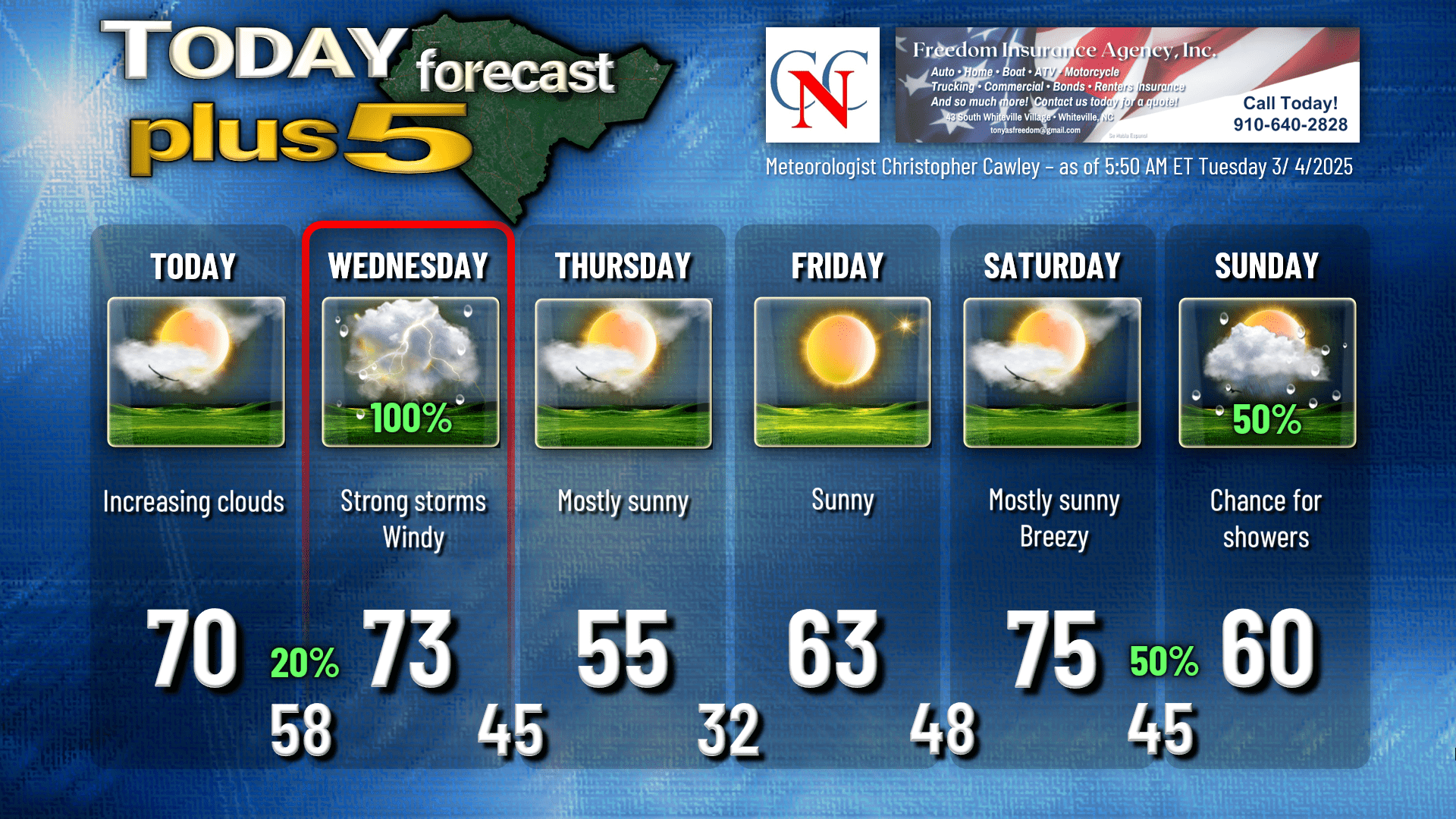
Here’s your Freedom Insurance Today-Plus-5 forecast for Columbus County.
That’ll do it for today. Thanks for reading, and as always, take care!
~Meteorologist Christopher Cawley


