
CCN Weather Update for Monday October 13, 2025.
This weather update is sponsored by Freedom Insurance of Whiteville. No weather worries with Freedom Insurance. For home, car, boat, or whatever you need, Freedom can provide customized coverage to keep you and your family safe. Contact Freedom today at 910-640-2828!
Here’s today’s Bottom Line
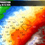
Unbelievable, heavy rain fell across the area on Sunday … nearly 6 inches on my weather station in Whiteville … as the coastal low(s) made little northerly progress. I said lows — plural — as a secondary system formed south of the original low on the trailing trough. I know folks are frustrated by the flooding, but when you get 6 inches of rain over a relatively short time period… it’s gonna flood. I don’t care how good the drainage system is.
What happened? A band of heavy rain formed along a convergence line (CL) that became established over the county. This was unforeseen and not shown on any of the high-res model guidance that we (forecasters) use for short-term forecasting.
A “convergence line” is a band of clouds and heavy rain that forms when winds from different directions “collide,” forcing air to rise rather violently. This rising motion created the heavy localized rainfall and flooding.
COULD this CL have been predicted? Possibly. In true nor’easter storms, during the wintertime, an area of precipitation tends to form farther west and north of the storm center called a “deformation zone.” In true nor’easters, these form over areas like New York and New England, and result in tremendous snowfall amounts. One occurred over the area in the snowstorm we received back in January, which resulted in the 6″+ snows that we received.
A deformation zone is similar to a convergence line only in the fact that they cause an area of intense precipitation. One could make an argument that I (as a forecaster) should have foreseen a CL becoming established with our storm — while not a true nor’easter by definition — a “close enough” example. In wintertime scenarios, predicting a deformation zone is extremely difficult at best; in a warm-season storm, such as this, predicting a CL is essentially “getting lucky” in having one form in the first place, never mind where it actually sets up.
So, in the end, that is what caused the intense rainfall over Columbus County on Sunday.
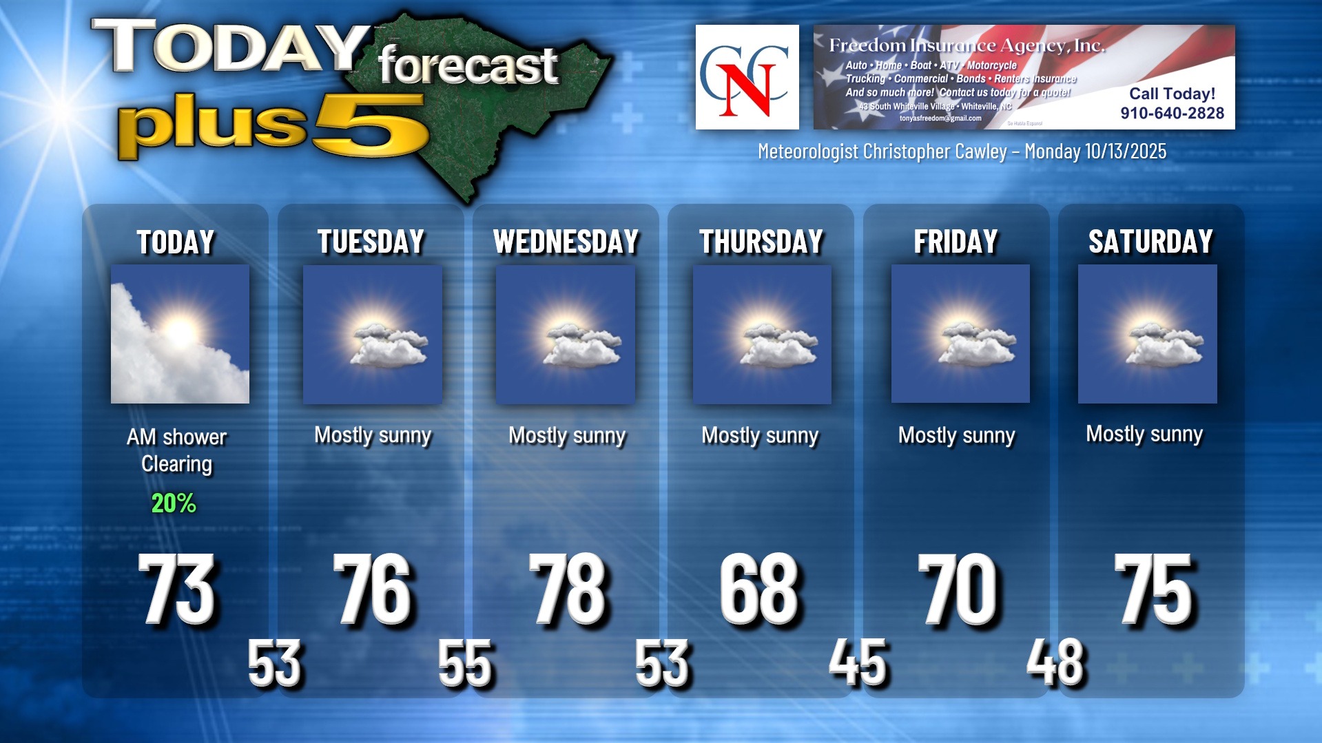
The secondary low is still off the coast as of this writing, and will gradually pull north/east and away from the area today. We’ll be left with a chance for showers early today but otherwise a drying and clearing trend will take place.
High pressure will take control and keep dry conditions over the region for Tuesday. A “backdoor” cold front will drop down from the north sometime Wednesday, and while the frontal passage will be remarkably unremarkable, it will usher in much cooler temps for the end of the week.
TROPICS: The only system being monitored by the National Hurricane Center is roughly 900 miles SW of the Cabo Verde Islands (off the coast of Africa). A tropical depression is likely to form by the middle of the week, and the NHC gives this is a 60%/70% risk for development. Whatever it becomes, it will likely lift more north than west and have no land impacts.
There are no tropical threats to the Carolinas for the foreseeable future.
Here is your Freedom Insurance Today-plus-Five Forecast:
–Meteorologist Christopher Cawley