CCN Weather Update for Sunday November 30, 2025
This weather update is sponsored by Freedom Insurance of Whiteville. You can trust Freedom Insurance to give you clear blue skies when it comes to home, car, boat, or whatever insurance you need. Let Freedom provide customized coverage to keep you and your family safe. Contact Freedom today at 910-640-2828!
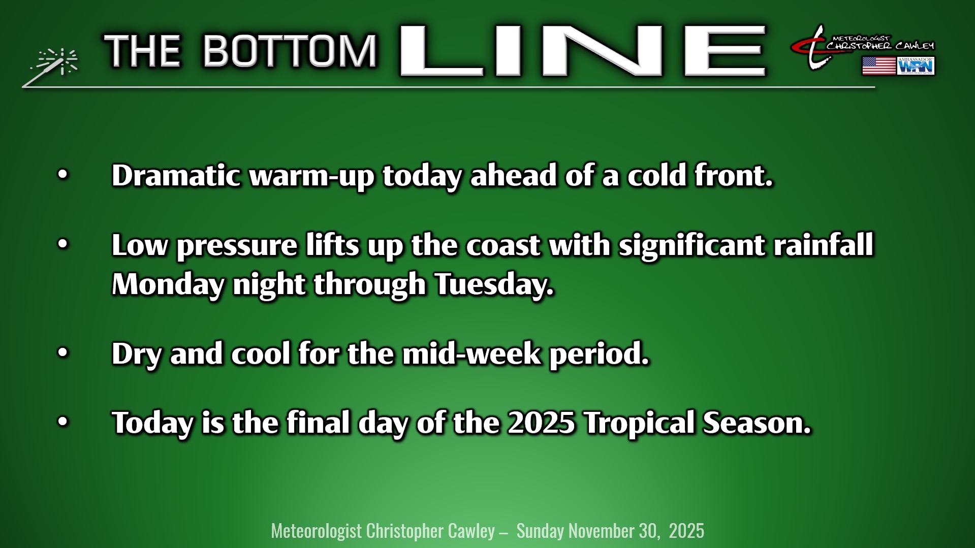
Here’s today’s Bottom Line
Dramatically warmer temperatures across the area today ahead of a cold front which will move through this evening.
We should have a mix of sunshine and clouds. The southwesterly wind flow ahead of the front means highs jump into the middle and upper 60s, just a shade higher than normal for this time of year.
Don’t get to used to it though. The cold front moves through tonight and stalls just offshore on Monday. A weak wedge of high pressure extends down from upstate New York on Monday. This will keep us dry with partly sunny skies and brisk highs in the 50s.
Meanwhile, an area of low pressure gets organized on the tail end of the aforementioned front. This low will lift quickly north and east along the coast. It will feature a significant amount of moisture … about 200% of what would normally be expected from this kind of system … and that will result in widespread rain late Monday night through Tuesday.
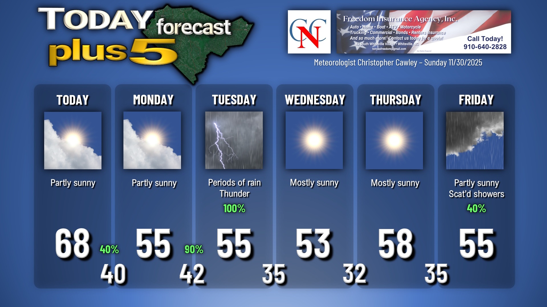
There’s still some question as to the exact placement of the low. If the low comes just inland, that could mean some instability gets thrown into the area on Tuesday, which would result in some thunderstorm activity. I’m going to put a lightning icon on the graphic below but there’s still some question on that.
RAINFALL AMOUNTS: The latest model blends point to between 1 and 1.5 inches of rain. With the very dry conditions (most of the area is in a “moderate drought” classification), the ground should handle this rain quite well. HOWEVER… some nuisance flooding is possible on Tuesday in the typical poor-drainage and low-lying areas. Ponding of water is LIKELY on area streets and roads, so you’ll definitely want to watch out for that with any travel plans on Tuesday.
That all quickly pulls north/east and away Tuesday night. A cold front moves through Tuesday night, and there may be enough leftover moisture that we see some snowflakes before everything comes to an end.
Dry and cool high pressure settles in for Wednesday and Thursday before another southern stream system comes together for Friday into the weekend. Modeling suggests a similar storm track with rainy conditions being the result, especially Friday night. No precipitation-type questions for this one, too much “warm” air in place locally.
Here is your Freedom Insurance Today-plus-Five Forecast:
–Meteorologist Christopher Cawley


