CCN Weather Update for Monday January 5, 2026.
This weather update is sponsored by Freedom Insurance of Whiteville. You can trust Freedom Insurance to give you clear blue skies when it comes to home, car, boat, or whatever insurance you need. Let Freedom provide customized coverage to keep you and your family safe. Contact Freedom today at 910-640-2828!
Here’s today’s Bottom Line:

Well if you’re ready for a very early (and I mean VERY EARLY) taste of spring, you’ll love the weather through this work week.
Very un-January like temperatures settle in on Tuesday and last through the end of the week thanks to strong high pressure located just offshore. This high will pump warm, southerly air into the region which means highs well into the 70s.
A weak, dry little “cold front” zips through late on Wednesday which will knock the temps down about a degree or two for Thursday. The southerly flow resumes on Friday ahead of a stronger cold front.
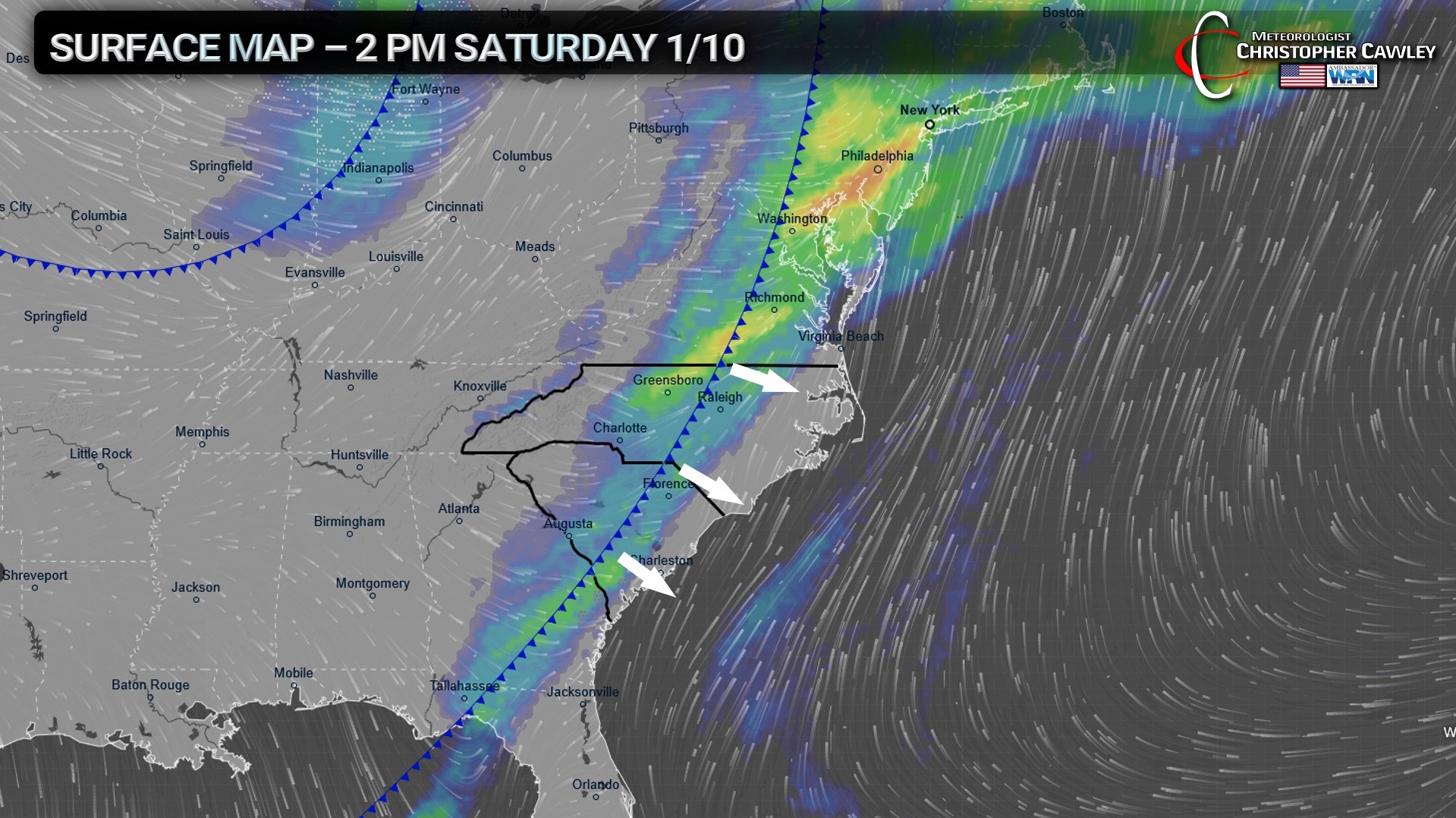
This front will push through the area sometime Saturday, likely during the afternoon hours, with scattered showers (and possibly a rumble of thunder) with the frontal passage. A few showers are possible ahead of the front during the overnight hours Friday night.
Once the front crosses the area, temps will fall once again, returning to seasonal normal values for Sunday and into the week of the 12th.
Here is your Freedom Insurance Today-plus-Five Forecast:

–Meteorologist Christopher Cawley