CCN Weather Update for Tuesday May 26, 2026
This weather update is sponsored by Freedom Insurance of Whiteville. Trust Freedom Insurance to give you clear blue skies when it comes to home, car, boat, or whatever insurance you need. Let Freedom provide customized coverage to keep you and your family safe. Contact Freedom today at 910-640-2828!
Here’s today’s Bottom Line
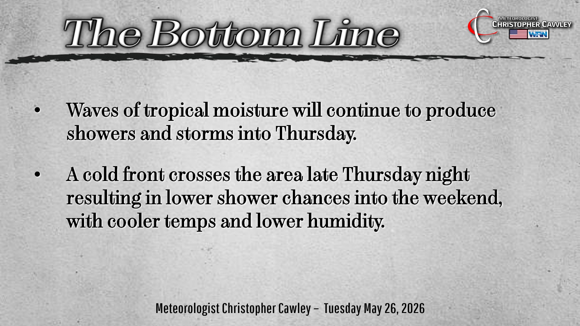
Bermuda high pressure remains locked in place offshore. Waves of tropical moisture will lift northward along the western edge of the high. This will continue through Thursday.
The overall pattern doesn’t exhibit much change for the next few days. A southerly, low-level flow pushes abundant tropical moisture into the area from the south. Forcing (the source of lift) will be provided by the daily sea-breeze, surface heating, and old convective outflow boundaries.
It remains impossible to pinpoint exactly where and when it will rain each day, but the expectation is for scattered to numerous showers and storms to be over the area.
Precipitable water values (I spoke about that the other day) will remain 2 inches or more through Wednesday. Those are very high values for this time of year. The combination of these high PWAT values, deep cloud layer, and the slow storm motions creates a set-up perfect for significant rainfall and poor-drainage flooding.
A backdoor cold front moves through Thursday … but the modeling disagrees just far south the front moves through. I’m hedging my bets on the front dipping south of the area into the weekend with lower rain chances and cooler/less humid conditions. That remains to be seen though.
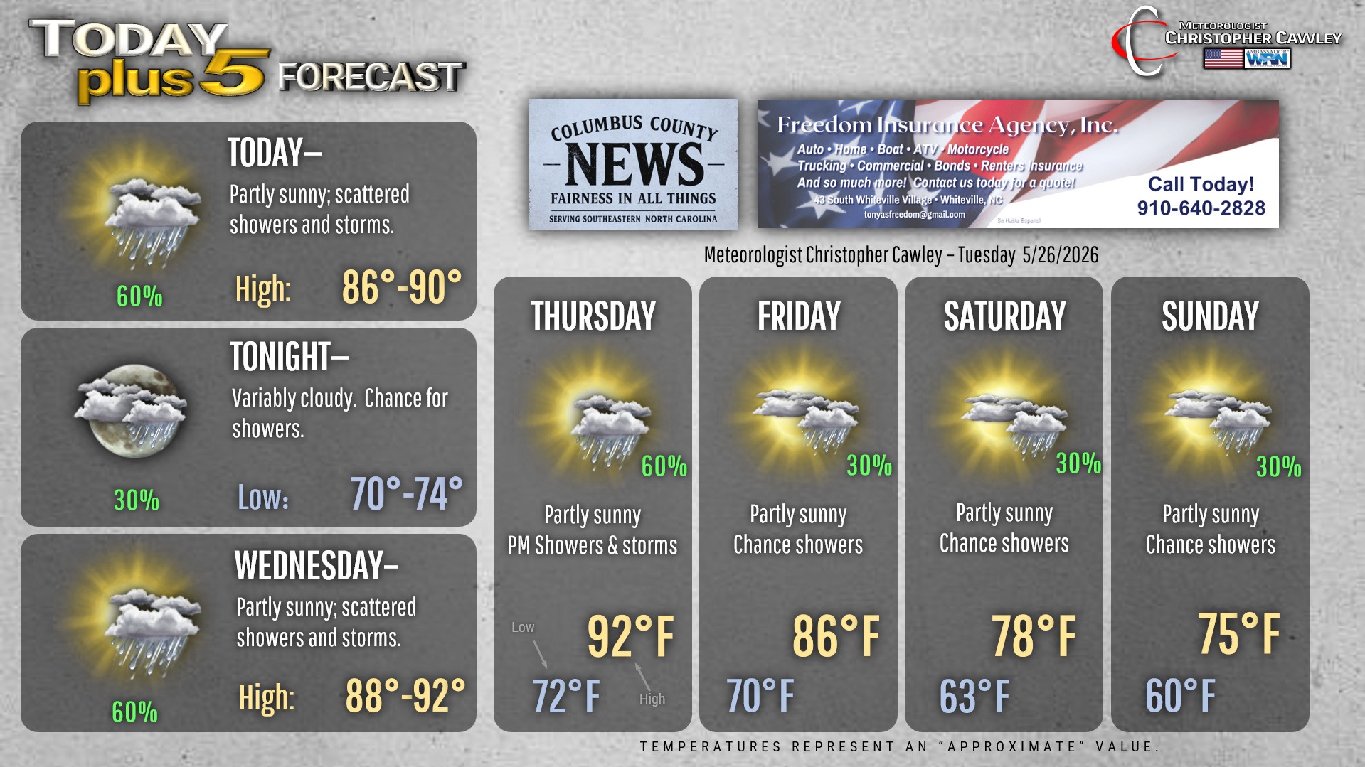
Here is your Freedom Insurance Today-plus-Five Forecast:
–Meteorologist Christopher Cawley