CCN Weather Update for Sunday February 22, 2026.
This weather update is sponsored by Freedom Insurance of Whiteville. You can trust Freedom Insurance to give you clear blue skies when it comes to home, car, boat, or whatever insurance you need. Let Freedom provide customized coverage to keep you and your family safe. Contact Freedom today at 910-640-2828!
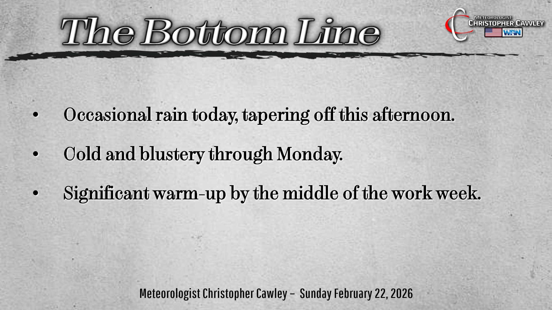
Here’s today’s Bottom Line:
A wave of low pressure will lift northeast off the Outer Banks by this afternoon, and then EXPLOSIVELY strengthen as it lifts northward. This will produce a dramatic full-fledged blizzard-on-steroids for the big cities of the northeast.
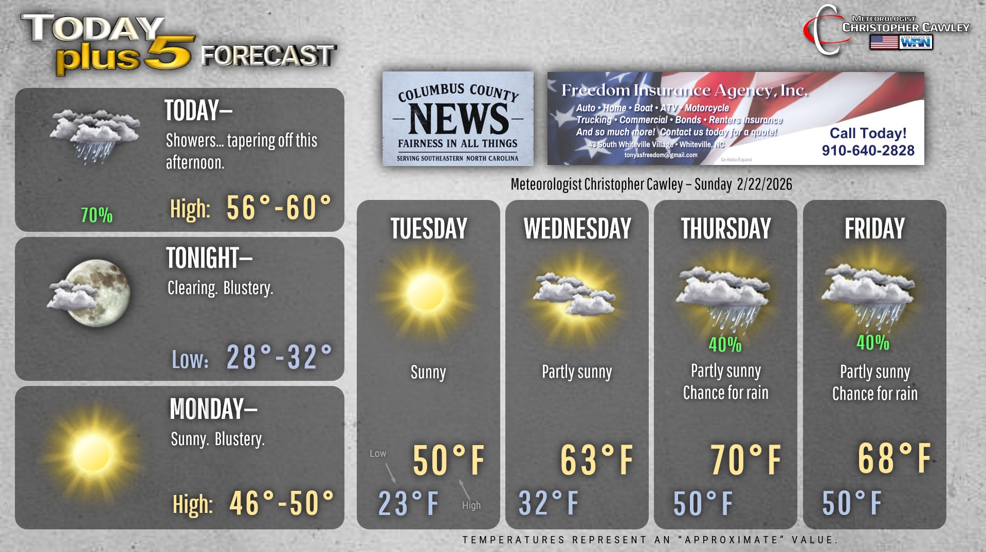
But that’s them… not us. We’ll have intervals of rain and possibly some thunder today, which should taper off after about lunchtime. It’ll be kind of raw and chilly as our temps stay stuck in the upper 50s, which is close to where they should be for mid- to late-February.
Skies clear out tonight and temps drop to a degree or two either side of 30. There may be some patchy black ice in areas that don’t dry out completely.
Monday will feature bright sunshine, but our temps will be stuck in the upper 40s as Arctic air is “pulled down” thanks to the nor’easter.
It will be very cold Monday night into Tuesday with clear skies and high pressure to our south. Temperatures at the bus stop early Tuesday will be in the lower to middle 20s. Make sure those kiddos are ready for that.
A significant warm-up takes place starting Wednesday as we jump into the 60s. A southerly flow of much warmer air arrives on Thursday ahead of a cold front, which will move through late Thursday night / early Friday with showers.
Here’s your Freedom Insurance Today-plus-Five Forecast!
–Meteorologist Christopher Cawley