CCN Weather Update for Tuesday March 31, 2026.
This weather update is sponsored by Freedom Insurance of Whiteville. You can trust Freedom Insurance to give you clear blue skies when it comes to home, car, boat, or whatever insurance you need. Let Freedom provide customized coverage to keep you and your family safe. Contact Freedom today at 910-640-2828!
Here’s today’s Bottom Line:
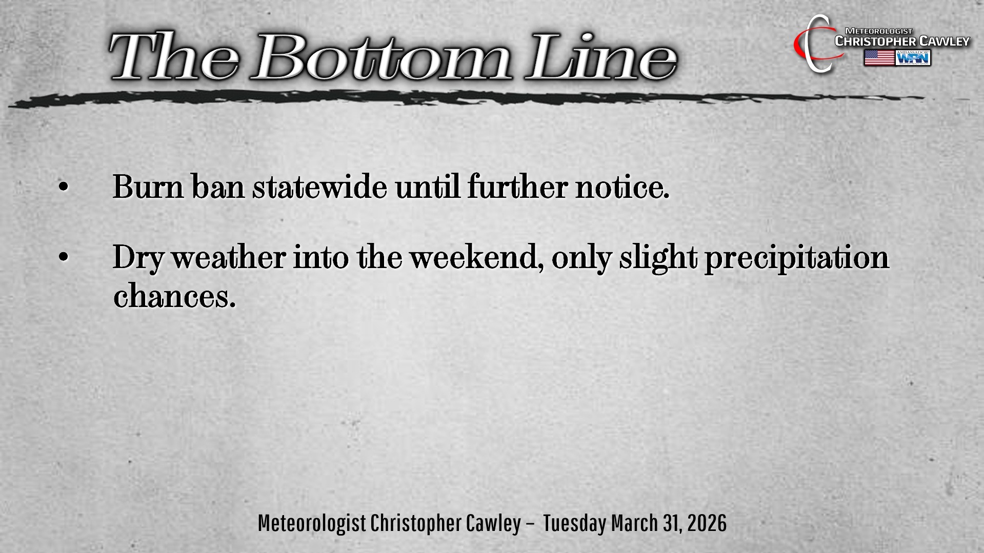
The burn ban remains in place for the time being, at least as of the time of this writing.
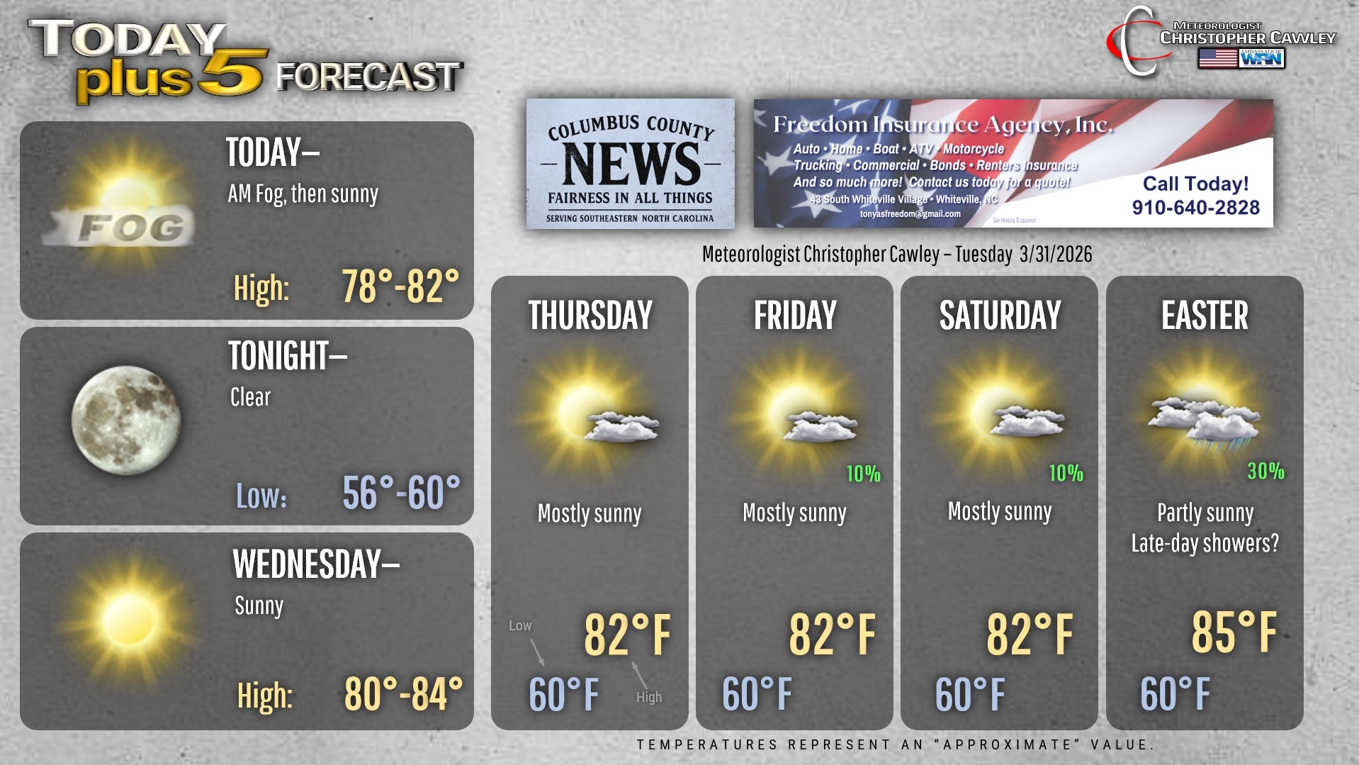
We’re going to end the month of March on a dry and warm note thanks to Bermuda high pressure locked in place. Our temps will run above normal through the Easter holiday before a cold front sweeps across the area late Sunday night.
There is the potential for at least isolated shower or thunderstorm activity Thursday, Friday, and Saturday, but that’ll be exception rather than the rule. Extremely isolated, at best. There just isn’t that upper-level support to produce thunderstorms. Add in a rather strong cap between 8000 and 12000 feet off the ground, anything that does fire won’t have much upward support.
As I mentioned, a cold front is likely to cross the area late Sunday night. This will bring an increased threat for showers and thunderstorms. There’s a decent agreement with the global modeling, which is saying something 5-6 days out. An upper-level low pressure center near the Great Lakes on Easter will drive a cold front through the area. There’s the chance for a couple of showers later Sunday afternoon but the brunt of the action, whatever we get, will likely come during the overnight hours.
It’s too early to tell exactly what is going to occur, and whether or not any of it will have severe potential. Given the nighttime ETA, I don’t expect severe weather to be a risk. Details will be ironed out as we move forward.
Here’s your Freedom Insurance Today-plus-Five Forecast!
–Meteorologist Christopher Cawley