
Columbus County News Weather Update for Thursday October 15, 2026.
This weather update is sponsored by Freedom Insurance of Whiteville. Trust Freedom Insurance to give you clear blue skies when it comes to home, car, boat, or whatever insurance you need. Let Freedom provide customized coverage to keep you and your family safe. Contact Freedom today at 910-640-2828!
Here’s today’s Bottom Line
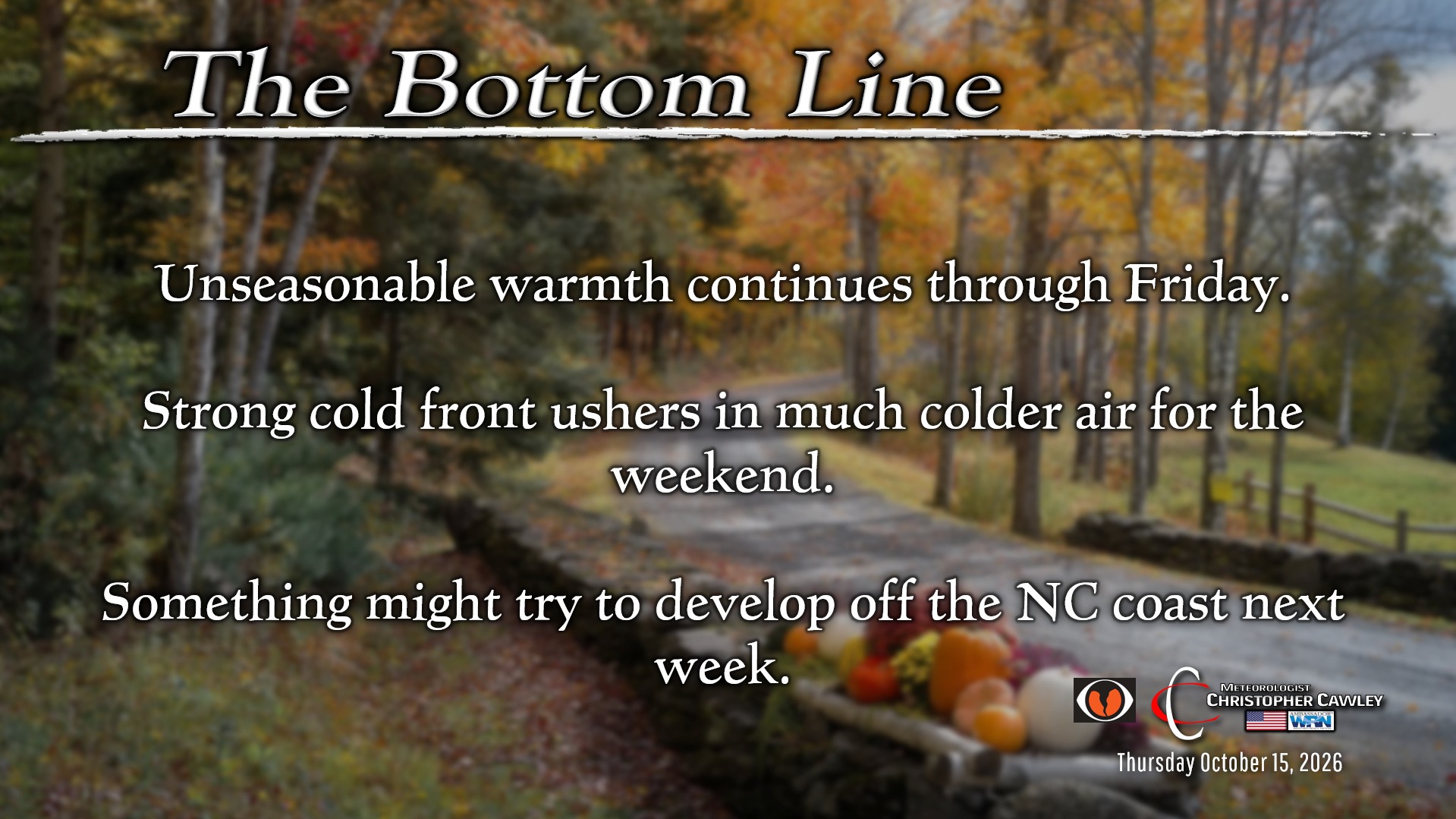
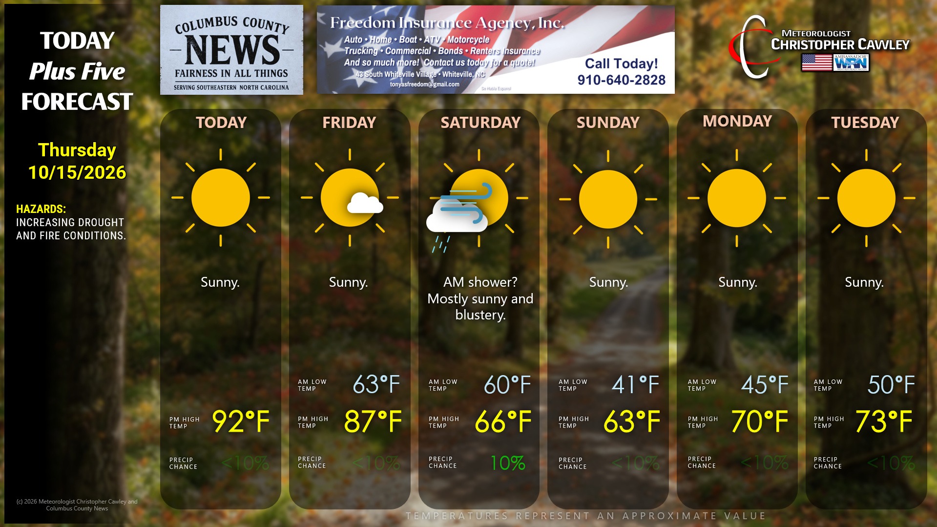
Strong high pressure will continue to pump record heat into the area through Friday, Most of the county should bump into the lower 90s today… which for October 15 is ridiculous. Humidity levels will be relatively low during the afternoon so it’s not going to “feel” all that bad.
Friday features a little bit more humidity as a southwest flow develops ahead of a strong cold front.
This front moves through late Friday night. You’ll probably be awakened by the winds during the overnight heralding the arrival of the front. Originally it appeared that this would be a completely dry frontal passage, but a “jet streak” (the area of maximum winds in the jet stream) will combine with the southern edge of a deep middle-level trough. This will bring a bit more energy into the area, a bit more lift….. but that’s meager. So I’m putting in a 10% chance for a shower early Saturday morning. After the mid-morning hours, deep, dry air comes pouring into the area on stiff northwest winds. Saturday afternoon will feature bright sunshine, but it’s going to be blustery and rather chilly with highs only in the mid 60s.
Saturday night / early Sunday will be quite chilly indeed, with most of the county dropping into the lower 40s. There may be some spotty 38- or 39-degree readings, especially north and west of Whiteville. There is no frost threat, but it’s going to be quite chilly first thing Sunday morning.
Sunday afternoon will feature high temps that would be normal in early December instead of mid-October.
We’ll being a slow rebound into next week with continued dry weather. HOWEVER, something interesting may try to come together on the old frontal boundary early next week. Some of the global models suggest low pressure develops and lifts to the northeast. I’ll have to watch this over the next several days.
TROPICS: No activity whatsoever.
Here is your Freedom Insurance Today-plus-Five Forecast:
–Meteorologist Christopher Cawley