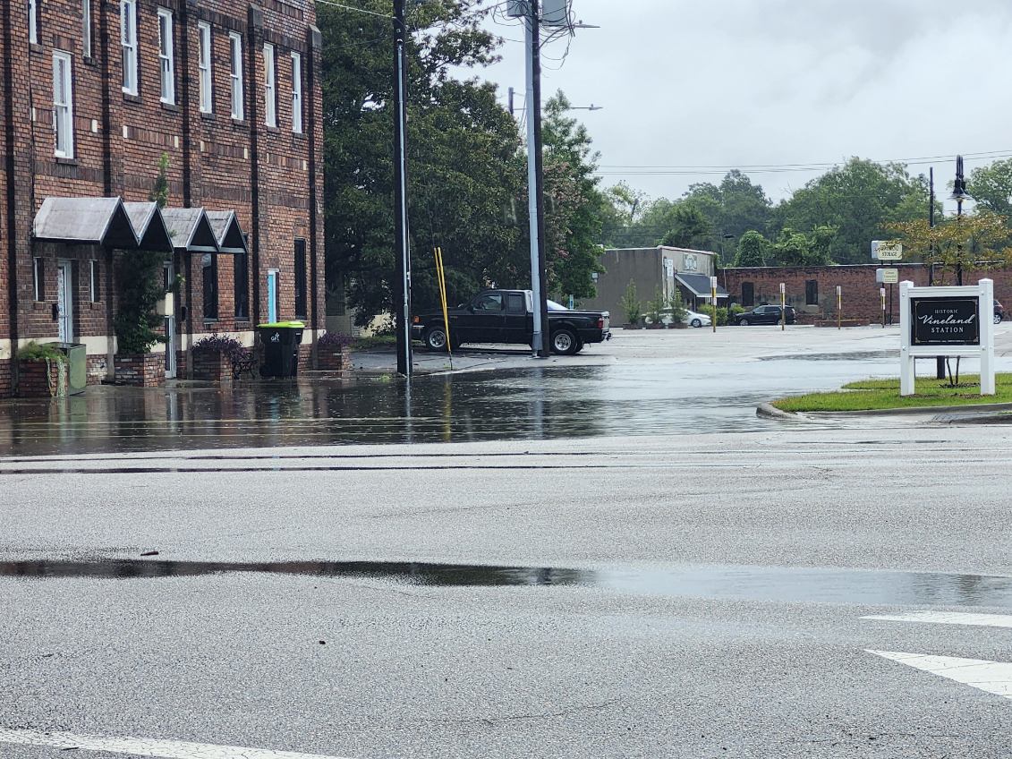
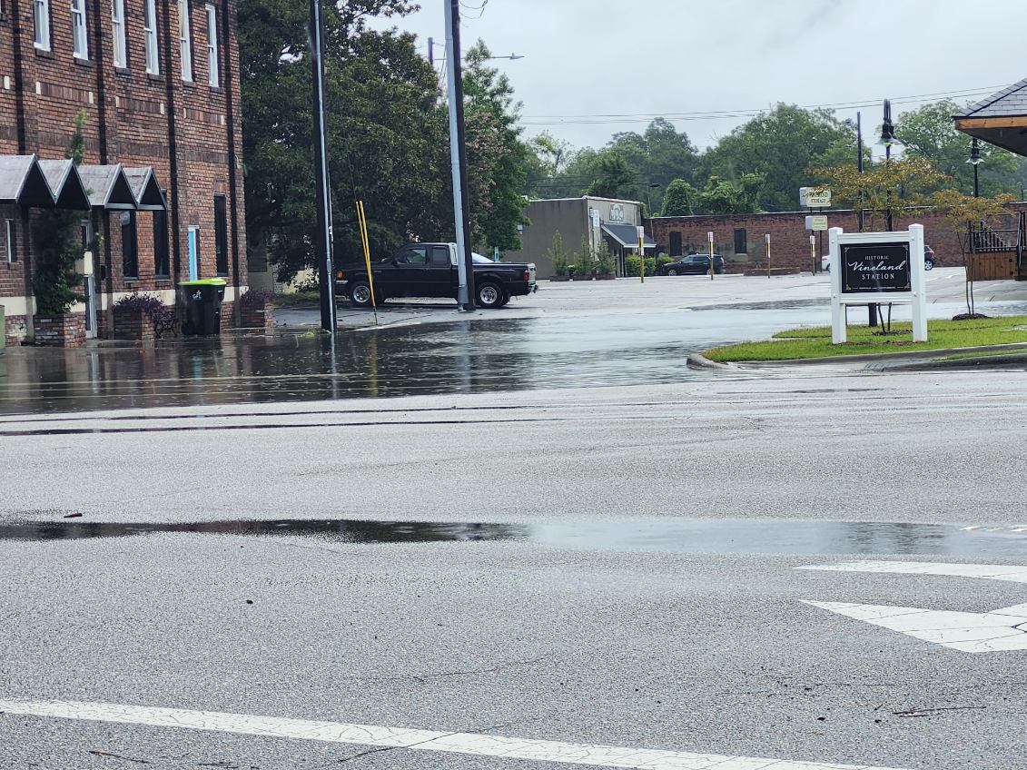
Upwards of three inches of water pounded parts of Columbus County Wednesday, prompting flash flood warnings and inundating parking lots in parts of Whiteville.
A strong thunder-rich system crossed the area in the afternoon, bringing rains into the evening hours, after showers fell throughout the area Tuesday night.
Whiteville Emergency Services Director Hal Lowder said several streets quickly filled with water in the usual problem areas, but others caught officials and motorists by surprise.
Storms always bring some high water at Washington and Powell, Lowder said, “but this was unusual.”
Lowder said several businesses were flooded in the area of Ivey’s Grill, and people found themselves wading in waist deep water to get to cars that were already flooded out.
“I had to call a wrecker for several people,” he said.
Part of Main Street on both sides of Madison was taped off for a short time due to rising water. Workers at the Collision Repair Center on West Walter used a flatbed wrecker to block the street in front of the business to prevent further damage caused by people driving through the deep water and causing wakes.
The county did not deploy any high water vehicles, but Lowder said firefighters and city emergency personnel had to help several people who were stranded.
The FIMAN gauge on Soules Swamp in Whiteville read 5.11 feet Wednesday evening, three hours after the first heavy storms came through the city. Officials begin monitoring the area more closely at five feet. At seven feet, much of downtown has some degree of flooding. Other FIMAN stations in the county also reported a continued trend of rising water.
After last week’s close call with Tropical Storm Dexter, and the forecast calling for almost daily storms for the next week, Whiteville Public Works crews and private groups scrambled to prepare for heavy rains this week.
City crews were out much of the day Monday opening ditches and clearing blocked drainage lines by hand and with heavy equipment. Several businesses closed early due to the threat of rising water.
Water levels dropped about a foot in Soules Swamp Friday after volunteers and a professional explosives technician opened a large beaver dam south of the Madison Street Bridge. The crew used canoes and kayaks to access the same dam that they blew last year. The explosives service was paid for by donations form downtown business owners.
John Fisher, who helped organize the effort with Greg Hewett and other business owners, said the group is planning another dambusting mission when the water drops to safer levels.
“People are starting to be more proactive about dealing with the flooding problems,” he said.
College Street also saw significant street flooding, as did areas of North Whiteville, Hallsboro, Bolton, Old Dock, Nakina and Crusoe. Stormwater was still standing in some yards on Madison Street this afternoon (Thursday). Water is also rising in several areas in southern Columbus, especially along the flood-prone Waccamaw River.
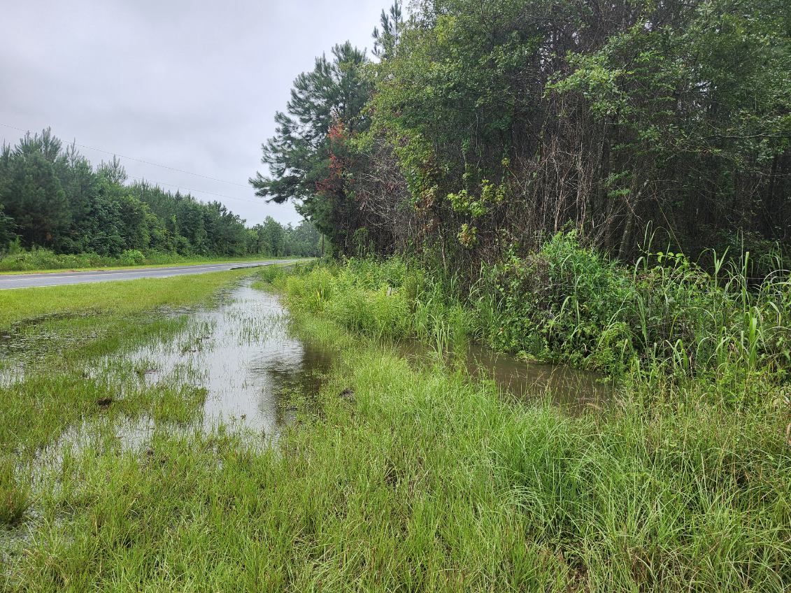
Floodwater briefly blocked Swamp Fox Highway near Worley Farms, as well as a bridge on Water Tank Road in Delco.
Police Chief Ken Elliot said there was no significant flooding in Chadbourn, but some of the usual trouble spots saw high water.
Tabor City had a number of streets covered or partially blocked during the height of the storm.
The National Weather Service said this morning that rain chances remain at 50 percent for the next several days. A tropical system developing off the coast is not expected to impact Southeastern North Carolina except along the shore.
The NWS also noted that no significant tropical development of concern to the Carolinas is likely for at least the next week.