CCN Weather Update for Thursday August 14, 2025.
This weather update is sponsored by Freedom Insurance of Whiteville. No weather worries with Freedom Insurance. For home, car, boat, or whatever you need, Freedom can provide customized coverage to keep you and your family safe. Contact Freedom today at 910-640-2828!
Here’s today’s Bottom Line
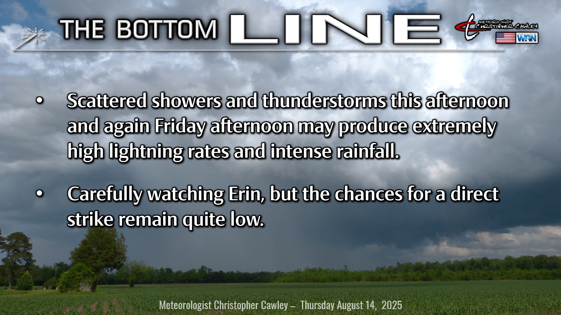
A cluster of lightning-intense thunderstorms impacted much of ColCo yesterday afternoon.
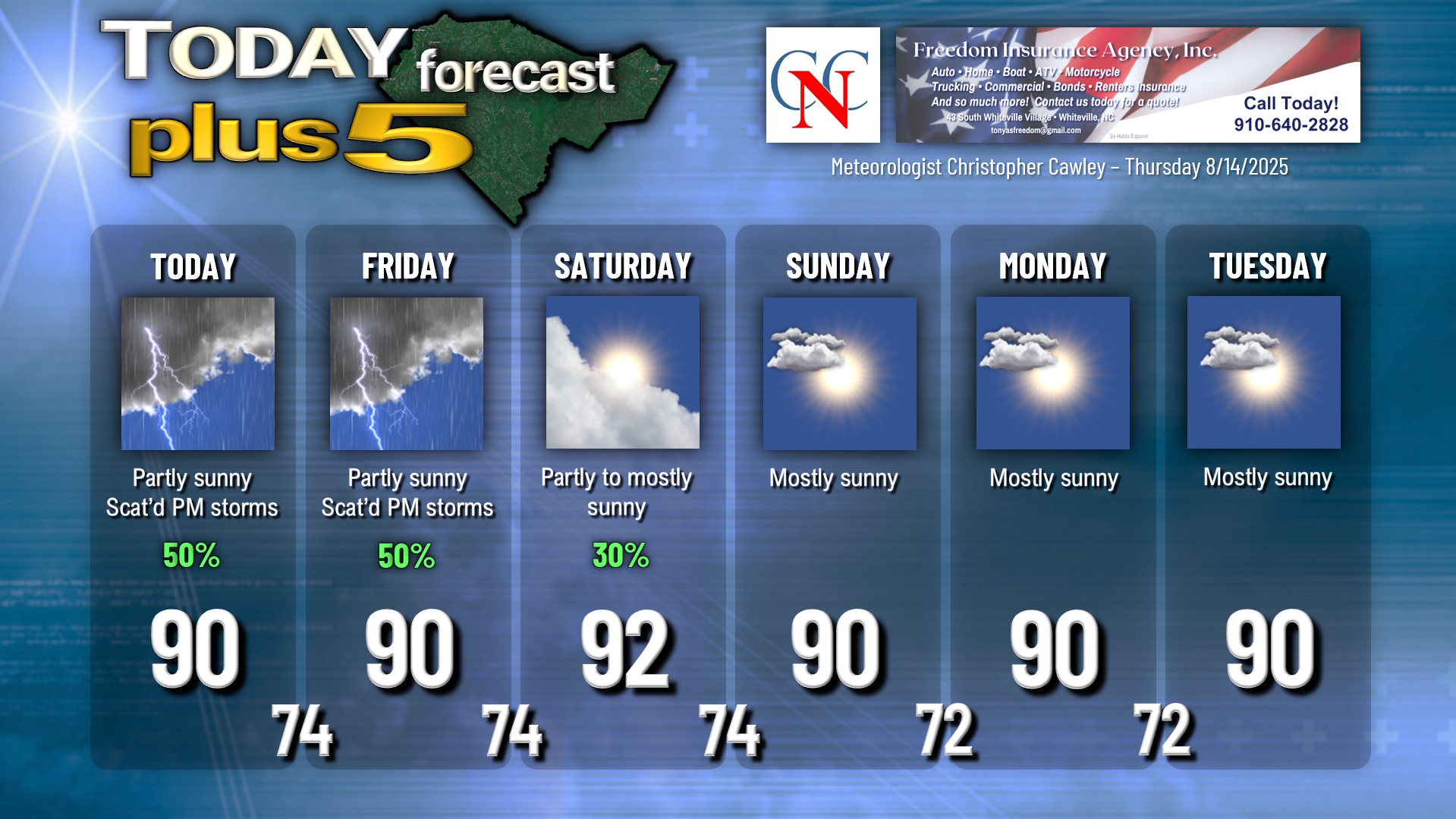
If you enjoyed that, you might enjoy this afternoon (and Friday afternoon) as well. Modest high pressure ridging over the southeast U.S. will allow for some sunshine and very warm temperatures over the county today. A bit of energy in the middle levels of the atmosphere rides the northern “edge” of the high pressure ridge, and this will be the focus for those showers and thunderstorms.
A bit of a front starts to approach the area on Friday. With the front in the vicinity, the area may see a rather healthy coverage of lightning-rich thunderstorms.
The front “washes out” Friday night into Saturday, followed by high pressure taking control over the weekend. This means much more sunshine and much lower storm chances, with mainly dry weather through a good portion of next week.
Now to what really matters…..
Tropics: Tropical Storm Erin continues a westward track in the central Atlantic ocean.
View the latest National Hurricane Center graphics HERE, and forecasts are updated every 4 to 6 hours. Remember, the only OFFICIAL FORECAST you will find is from the National Hurricane Center. AccuWeather has their own “in house” system, as does The Weather Channel, but they are NOT OFFICIAL FORECASTS. Local TV media outlets get their information from the NHC. The nonsense you’re seeing on social media is just that: Nonsense.
The official NHC projection has her continuing a general west-northwest movement until getting just north of Puerto Rico, and then beginning a northerly turn at that point. She is expected to become a major hurricane, at least category 3, quite possibly cat 4.
Some of the modeling, mainly the European set, has shifted slightly westward over the course of the past 18 hours, with some of the ensemble members brushing the OBX. Much of the rest of the guidance keeps Erin comfortably out to sea, and I think the National Hurricane Center is leaning in that direction as well.
Personally, I tend to think the Euro has gone too far west (closer to the coast) when compared with all of the rest of the available modeling. The NHC plots are more in line with the ensemble mean (for ALL ensembles), which is the thick black line on the map below. (The deterministic Euro – the one you see people posting on social media – is the thick red line.)
That’s just speculative on my part; there may indeed be a shift closer to the coast depending on the strength of the high over the central Atlantic.
A bit of “windshield wipering” of model guidance is expected as data continues to be acquired by the computers responsible for developing this modeling. People become easily alarmed by the every-6-hour “revisions” in the spaghetti plots, and that’s what the irresponsible individuals on social media count on when they make their posts. One “shift” in tracks can easily (and likely) reverse itself with the next update.
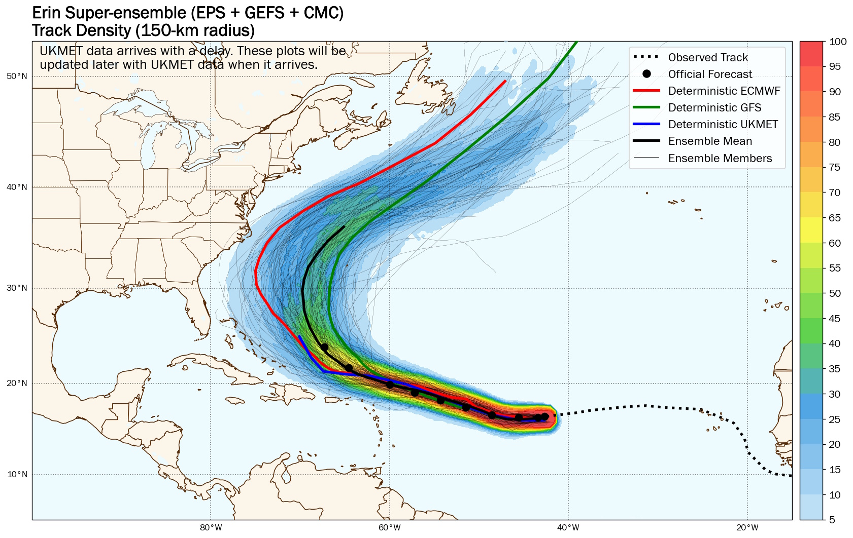
I can’t stress this enough: It’s still too early to make any definitive calls on Erin. A weaker storm will tend to push closer to the coast before making a northerly turn, while a much stronger storm will likely make the turn to the north sooner. Another factor playing a role is a large ridge of high pressure over the central Atlantic. A weaker high allows the northerly turn sooner, while a stronger high, or one that retrogrades westward, means a turn closer to the coast.
A meteorology colleague took a look at some data, and of all the storms in history that have formed within 100 miles of Erin’s location, only 5 have hit the US east coast (including Florence).
As of this writing, we’re still at least 5 or 6 days away from having to be too concerned about Erin’s location. Increasing rip currents and rough surf will be the rule starting this Saturday or Sunday and will last through much of next week, regardless of where Erin goes.
Erin is expected to be a large, sprawling storm when it makes the turn. If the track comes closer to the coast, even with the center a hundred or more miles offshore, we COULD see… COULD see… some increased shower activity later NEXT week. But that’s far from a certainty, and my confidence remains fairly good that Erin will stay comfortably out to sea and our impacts will be little to none.
As I said in yesterday’s blog, there is no reason to change your plans for next week, there is no reason for losing sleep or panic-shopping based on crazy colorful graphics you’re seeing shared by trolls and so-called “experts” on social media. Trust your local degreed, trained, experienced meteorologists… we’ll let you know if there’s reason to worry.
Here is your Freedom Insurance Today-plus-Five Forecast:
–Meteorologist Christopher Cawley