CCN Weather Update for Thursday June 18, 2026
This weather update is sponsored by Freedom Insurance of Whiteville. Trust Freedom Insurance to give you clear blue skies when it comes to home, car, boat, or whatever insurance you need. Let Freedom provide customized coverage to keep you and your family safe. Contact Freedom today at 910-640-2828!
Here’s today’s Bottom Line
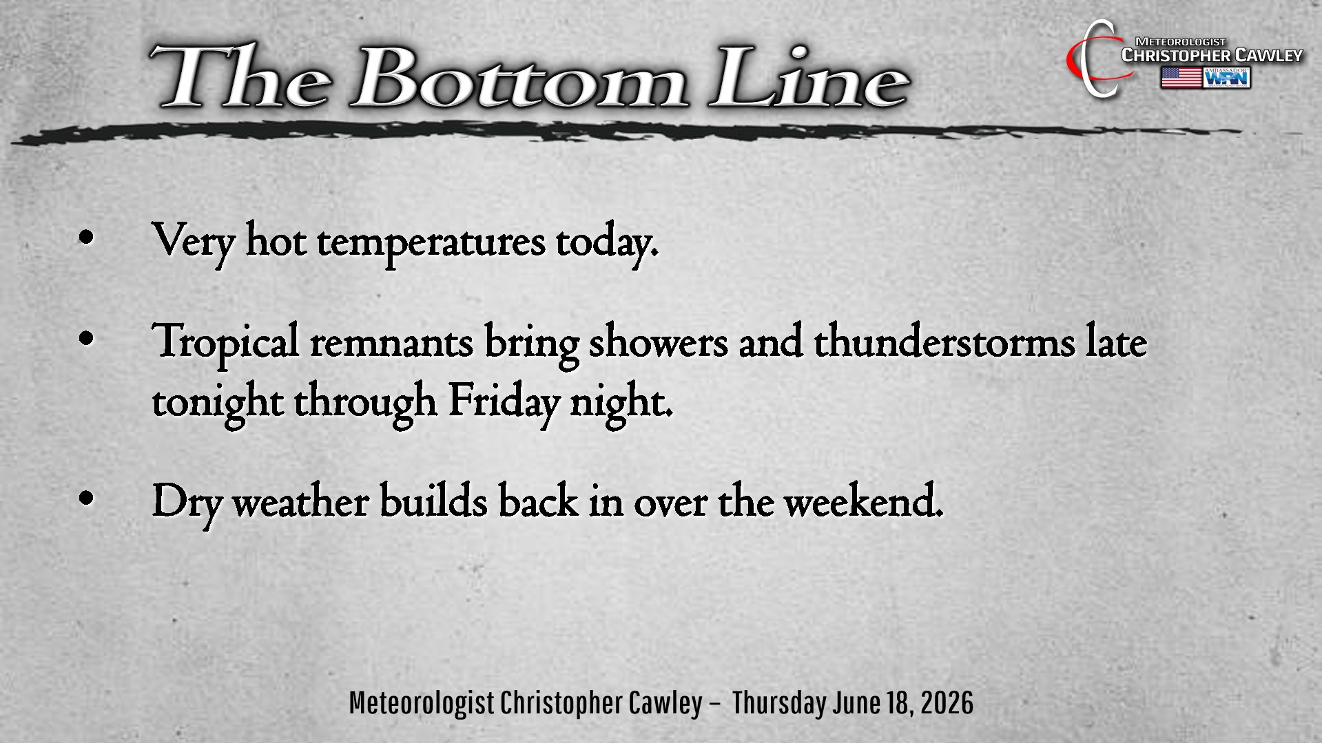
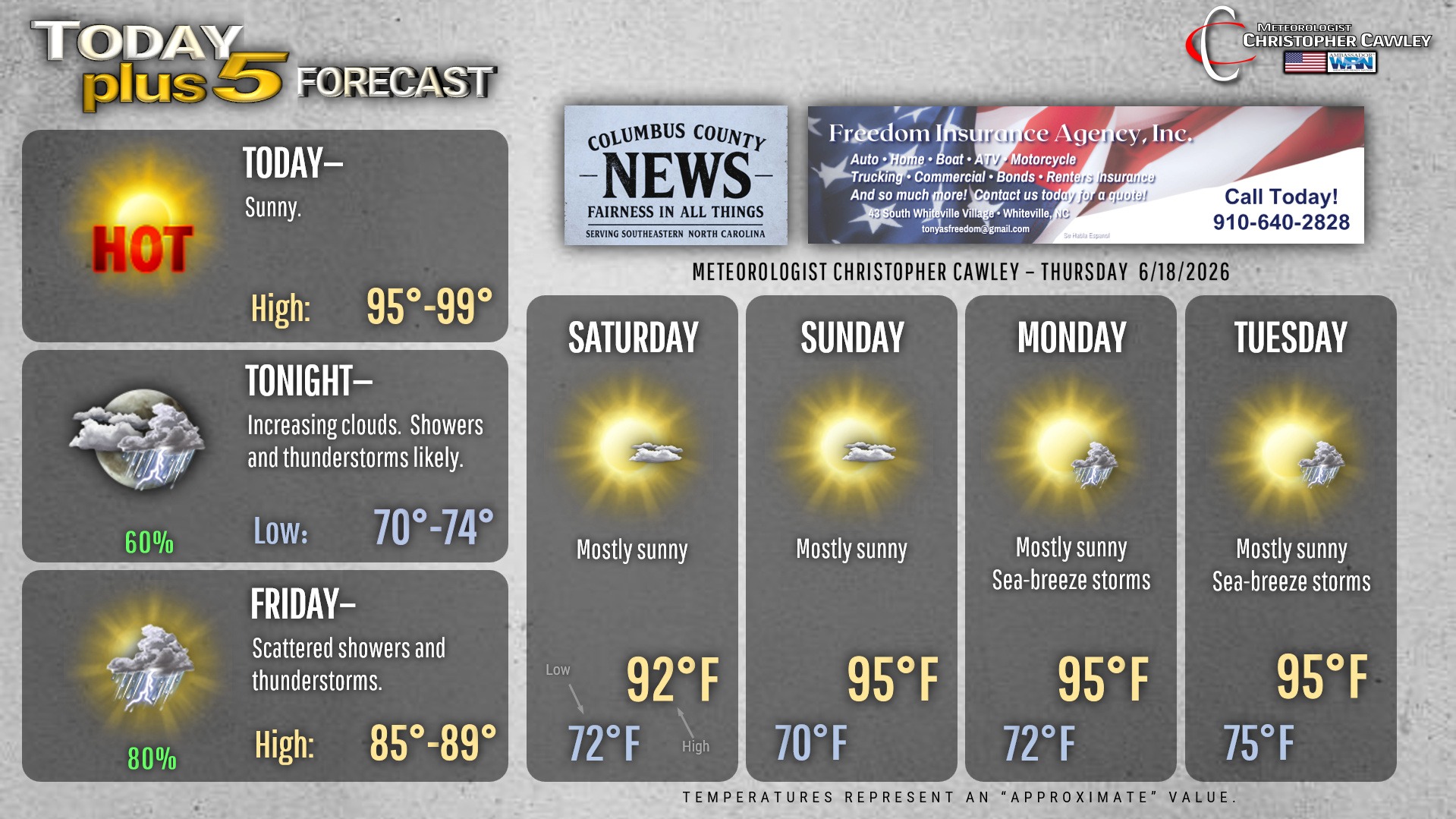
It’s going to be dang hot today, folks, no two ways about. Lots of sunshine and ridging high pressure means highs cruise well into the upper 90s. I think what will save us from cracking the Misery Mark will be some increase in convective debris cloudiness this afternoon.
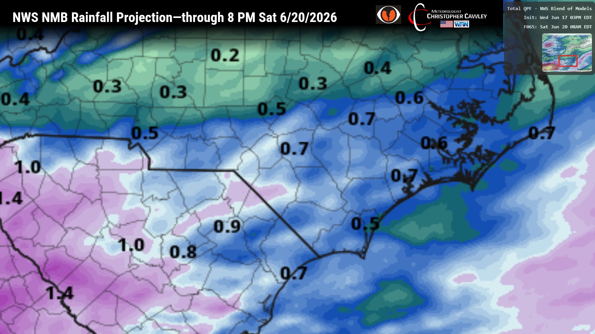
Clouds rapidly increase this evening as the remnants of Tropical Storm Arthur approach the area tonight. Showers and thunderstorms are expected as the remnants move across the area through Friday, with most of the precipitation likely coming through early Friday afternoon, before tapering off. With any tropical system, there is the threat for some locally gusty winds or even an isolated spin-up tornado.
Rainfall from this event should be between three-quarters of an inch and one inch, although there will likely be some variability in this. Some areas may pick up quite a bit more if thunderstorms train over the same areas.
High pressure then builds in for the weekend. We’ll have dry conditions and temperatures picking back up into the mid 90s going into early next week. Sea-breeze thunderstorms are possible Monday and Tuesday.
Here is your Freedom Insurance Today-plus-Five Forecast:
–Meteorologist Christopher Cawley