CCN Weather Update for Monday November 24, 2025
This weather update is sponsored by Freedom Insurance of Whiteville. Trust Freedom Insurance to give you clear blue skies when it comes to home, car, boat, or whatever insurance you need. Let Freedom provide customized coverage to keep you and your family safe. Contact Freedom today at 910-640-2828!
Here’s today’s Bottom Line
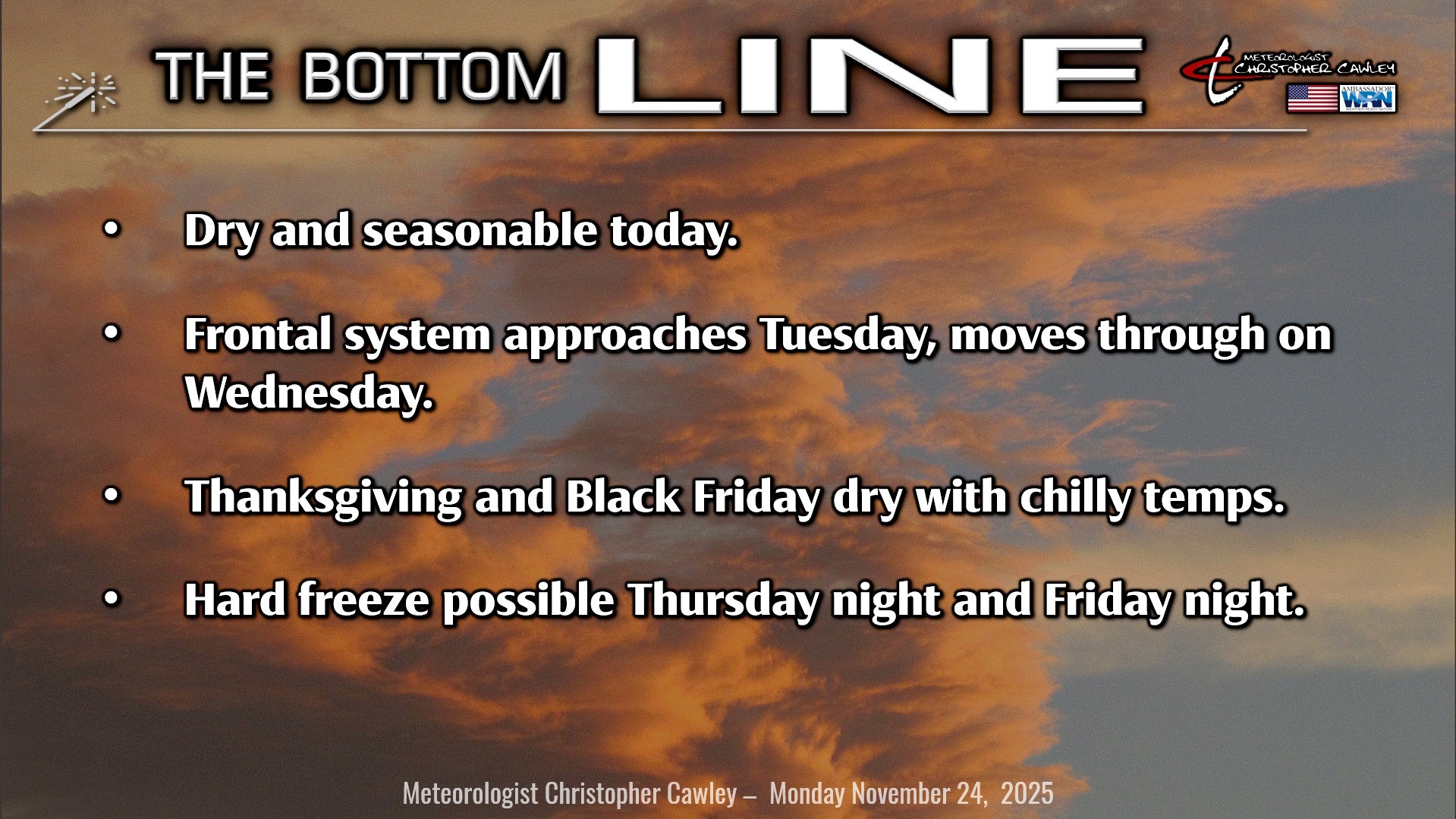
Thanksgiving week will feature a frontal system, a chance for showers/storms, and then a big-time cooldown for the weekend. Let’s dive in.
Today’s going to be a nice day. Lots of sunshine with seasonable temperatures (perhaps a touch above seasonable). Highs will be in the mid to upper 60s. Tonight will be clear with seasonable lows in the mid 40s.
Clouds will be on the increase on Tuesday as our next weather system starts to approach. This will be a rather complex frontal system with multiple areas of low pressure. These lows move north as two frontal boundaries approach the Carolinas.
Temperatures rise considerably for Tuesday, into the mid and upper 70s, ahead of the first frontal boundary. This front moves through early Wednesday morning. Shower and thunderstorm chances increase Tuesday night ahead of this front, and linger into early Wednesday. Nothing widespread, nothing significant… similar to the scattered showers we had late Saturday evening.
The second front is a rather vigorous cold front that cascades through the area late Wednesday afternoon. Highs ahead of the front push up to around 80 with temps absolutely tumbling behind the front Wednesday night.
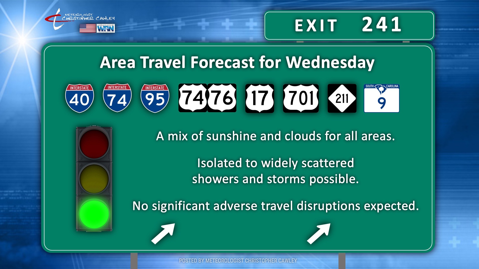
The travel forecast for Wednesday is overall decent locally. You can expect shower and thunderstorm chances along the immediate coast, mainly east of I-95, northward through about Washington, DC. The multiple areas of low pressure will bring abundant rain, changing to snow, across the northeast US. If you’re traveling south and west, dry conditions are likely through south Florida and westward toward the Mississippi valley. Places like Atlanta, Nashville, Memphis, Tampa, and Miami should be dry.
THANKSGIVING DAY will be dry with temperatures running a good 7-10 degrees below normal.
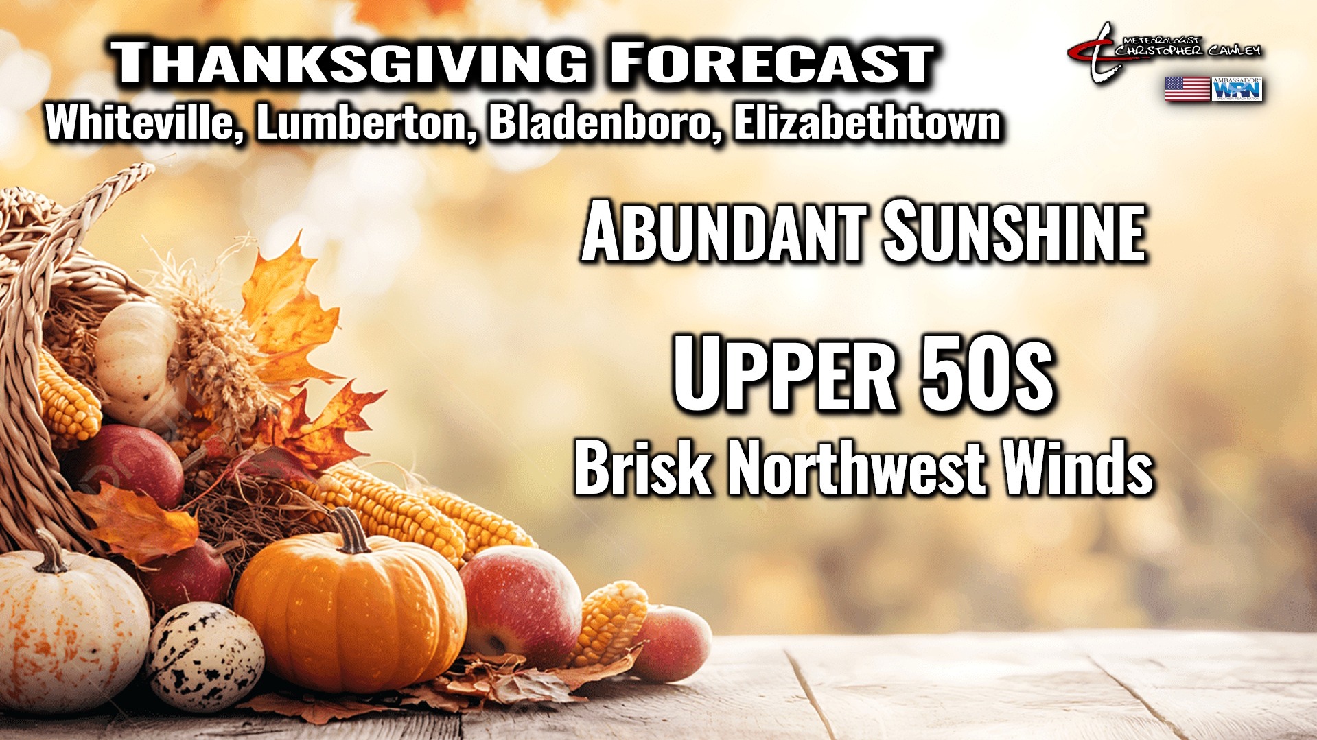
A deep, hard freeze is possible Thursday night but much more likely Friday night as strong Canadian high pressure builds directly overhead. Temperatures on Black Friday will struggle into the lower 50s, which represents “normal” for mid-January, with lows Friday night/early Saturday dipping well into the 20s. So the hard freeze is very likely Friday night.
We won’t warm back up all that much for Saturday as highs push back into the mid 50s. Another freeze is likely Saturday night into early Sunday… but temps look to rebound to seasonal norms on Sunday ahead of our next frontal system.
An interesting bit of modeling … the tropical season ends Sunday night but the GFS and the Google AI modeling points to a possible tropical system in the Gulf around the 4th-5th of December. I’m not sure how much I buy that, but I thought it’d be worth mentioning.
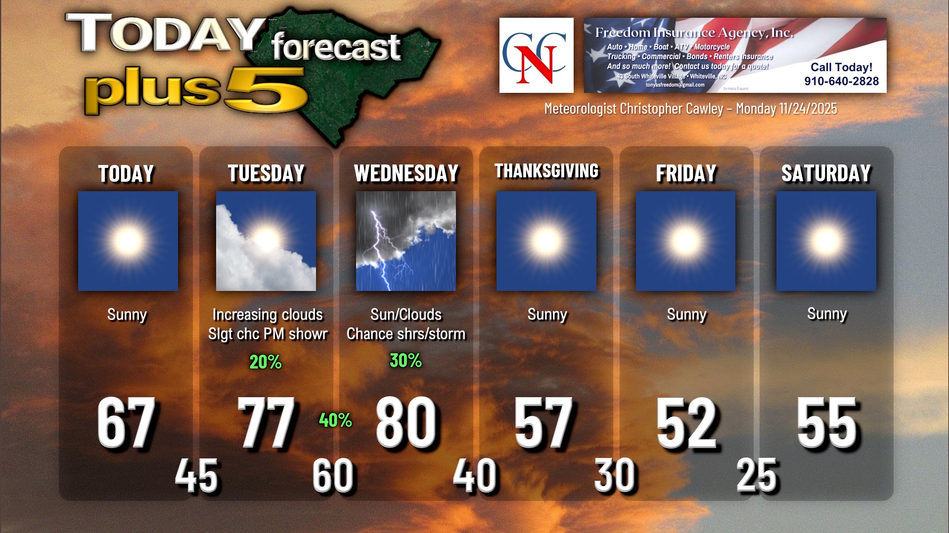
Here is your Freedom Insurance Today-plus-Five Forecast:
–Meteorologist Christopher Cawley