CCN Weather Update for Wednesday June 10, 2026
This weather update is sponsored by Freedom Insurance of Whiteville. Trust Freedom Insurance to give you clear blue skies when it comes to home, car, boat, or whatever insurance you need. Let Freedom provide customized coverage to keep you and your family safe. Contact Freedom today at 910-640-2828!
Here’s today’s Bottom Line
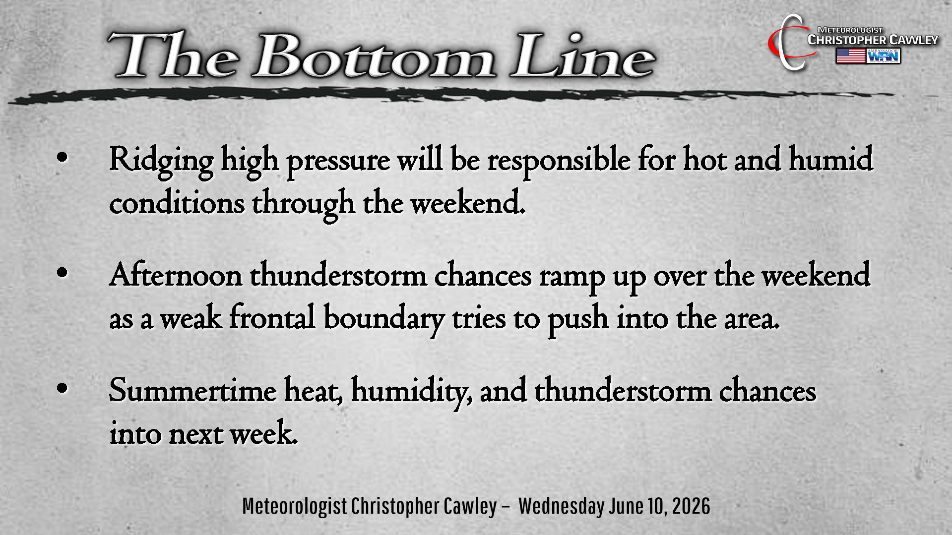
Ridging high pressure, both offshore and to our west, will bring increasing heat and humidity to the area through the weekend.
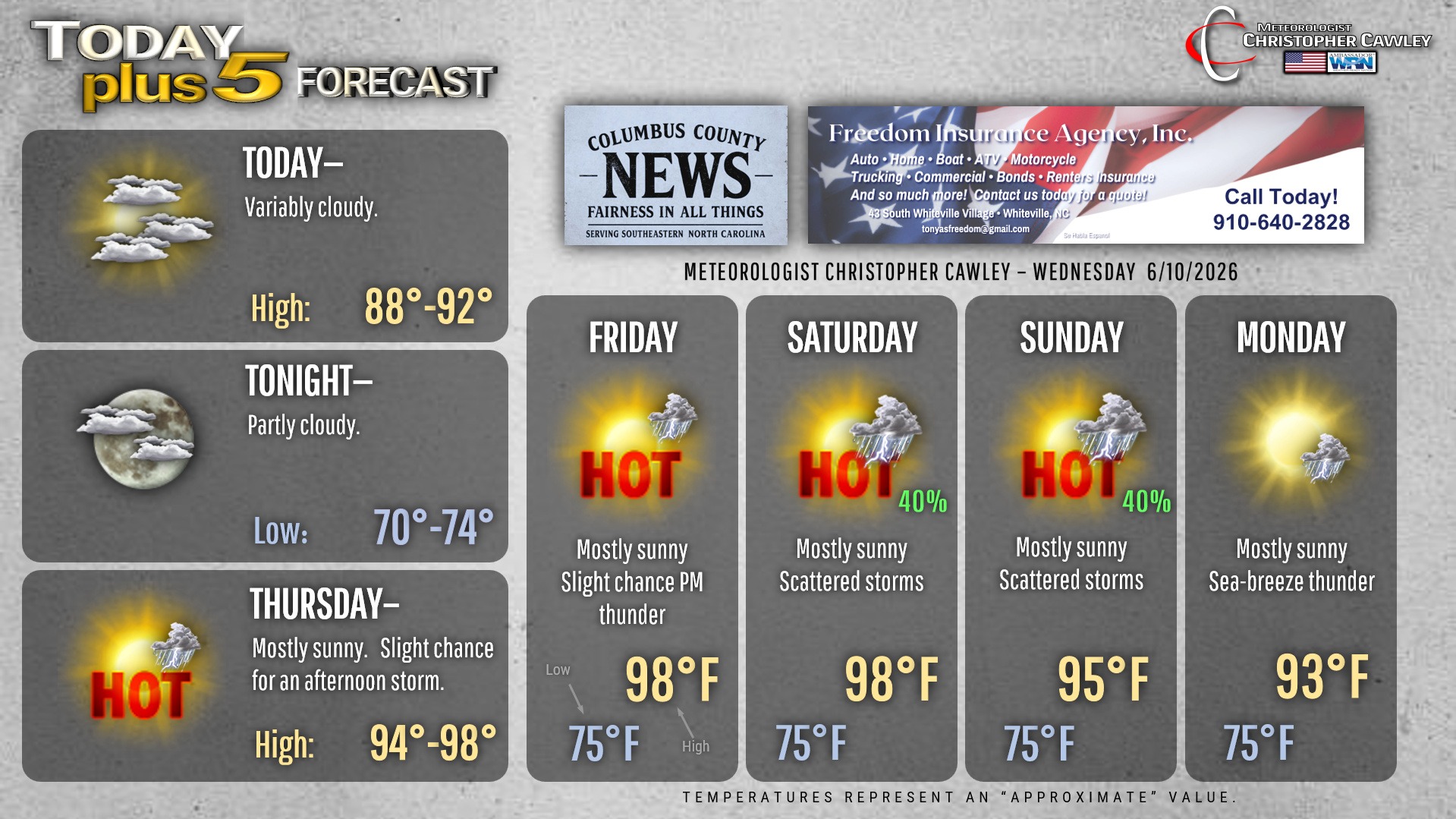
A mix of sunshine and clouds will be the rule for today with seasonable highs around 90 degrees. Humidity will be creeping up tonight as our lows only drop to the lower 70s.
The peak of our heat wave arrives Thursday and lasts through Friday into Saturday. There is the slightest chance for an afternoon storm Thursday and Friday given the abundant instability thanks to the heat. The source of lift would be the sea-breeze boundary. Any storm that develops Thursday or Friday could produce copious rainfall along with frequent lightning.
The high pressure to our west pushes east into the weekend as a frontal boundary tries to push across central North Carolina. This front really doesn’t stand a chance and will retrograde back to the west while dissipating on Sunday. However, with the front in the vicinity, the Piedmont trough, and the sea-breeze, we have better shower and thunderstorm chances Saturday and Sunday. It will still be very hot with temps in the mid 90s and heat index values possibly pushing toward advisory levels.
Slightly “cooler” temps for Monday … in the lower 90s … as a typical summertime regime of heat, humidity, and isolated afternoon storms becomes the running story.
Here is your Freedom Insurance Today-plus-Five Forecast:
–Meteorologist Christopher Cawley