CCN Weather Update for Wednesday May 20, 2026
This weather update is sponsored by Freedom Insurance of Whiteville. Trust Freedom Insurance to give you clear blue skies when it comes to home, car, boat, or whatever insurance you need. Let Freedom provide customized coverage to keep you and your family safe. Contact Freedom today at 910-640-2828!
Here’s today’s Bottom Line
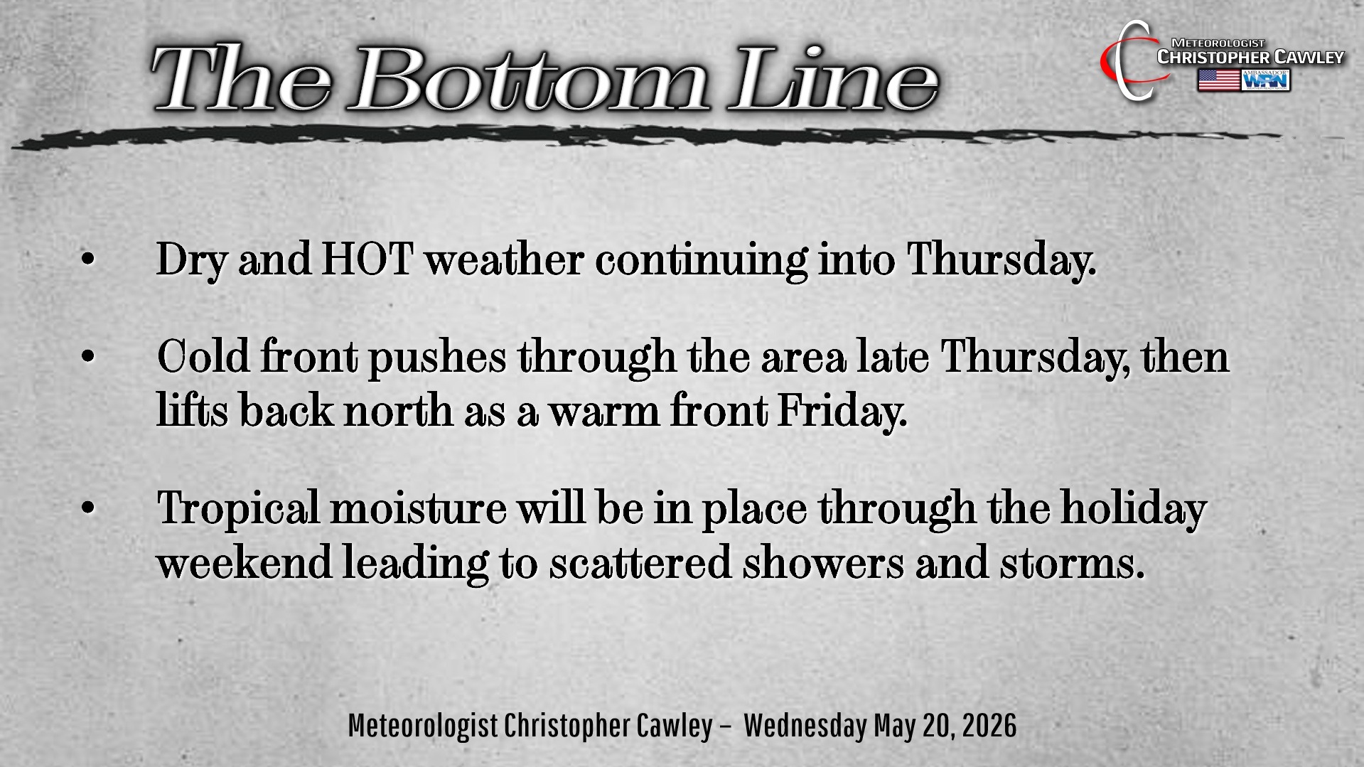
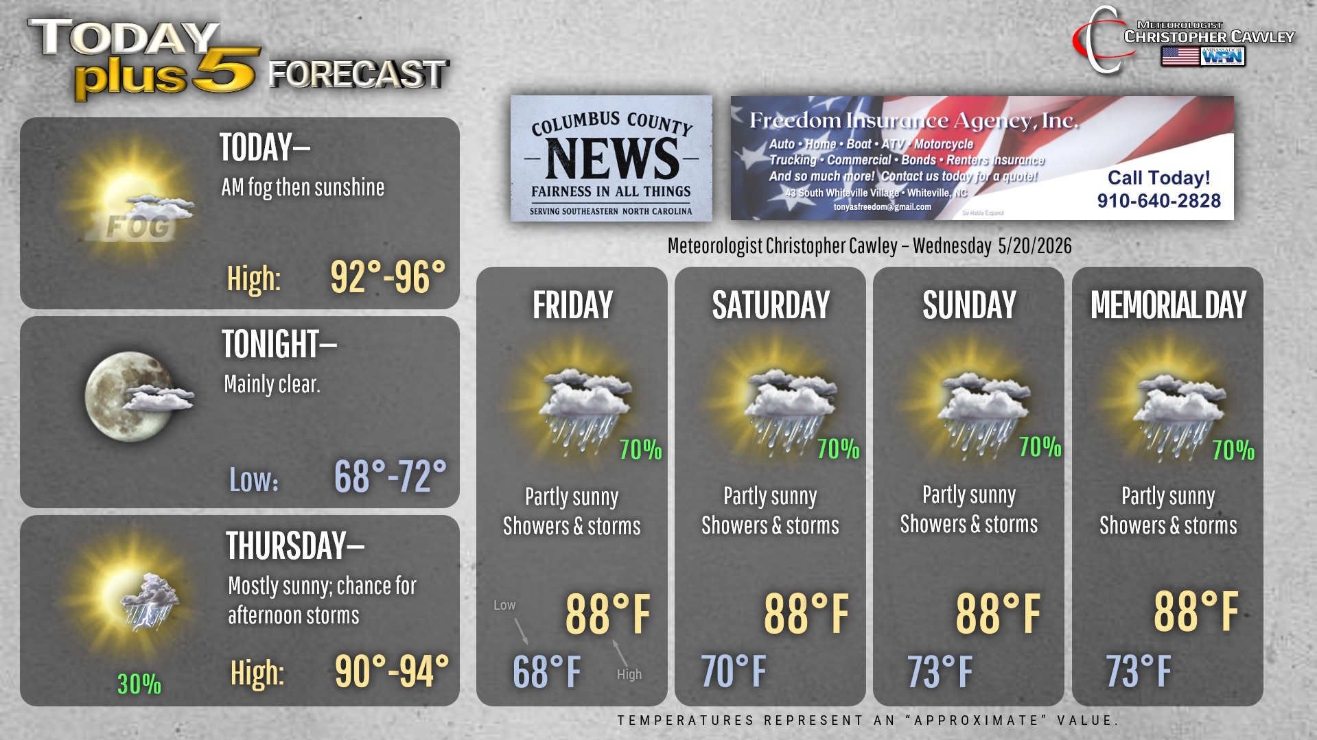
It’s going to be a hot day across Columbus county and the surrounding areas. A little bit of fog this morning will give way to lots of sunshine, and our highs will soar back into the lower and middle 90s. Heat index values will range into the upper 90s later this afternoon. If you have outdoor plans, remember hydration and sunscreen!
Humidity soars tonight ahead of a cold front that will slowly move through the area on Thursday. We’ll start off Thursday with some sunshine, but showers and thunderstorms are possible later in the afternoon.
Modeling continues to show the actual frontal boundary stopping in to visit Thursday night, pushing offshore by Friday morning. But the front quickly retrogrades back northward on Friday, likely ending up somewhere across central North Carolina Friday afternoon. Where this front ends up will ultimately determine the coverage of showers and thunderstorms through the weekend. With the front north of the area, the door is opened for extremely humid, tropical air to push into the area. Scattered to numerous showers and thunderstorms should be the result.
Between the actual front (probably still located over central NC) and the coast, showers and storms are likely Friday night through Memorial Day. The storms away from the front will have little rhyme nor reason, possibly enhanced by the sea-breeze. We should start off each day with some sunshine, but destabilization quickly occurs and the showers and storms erupt.
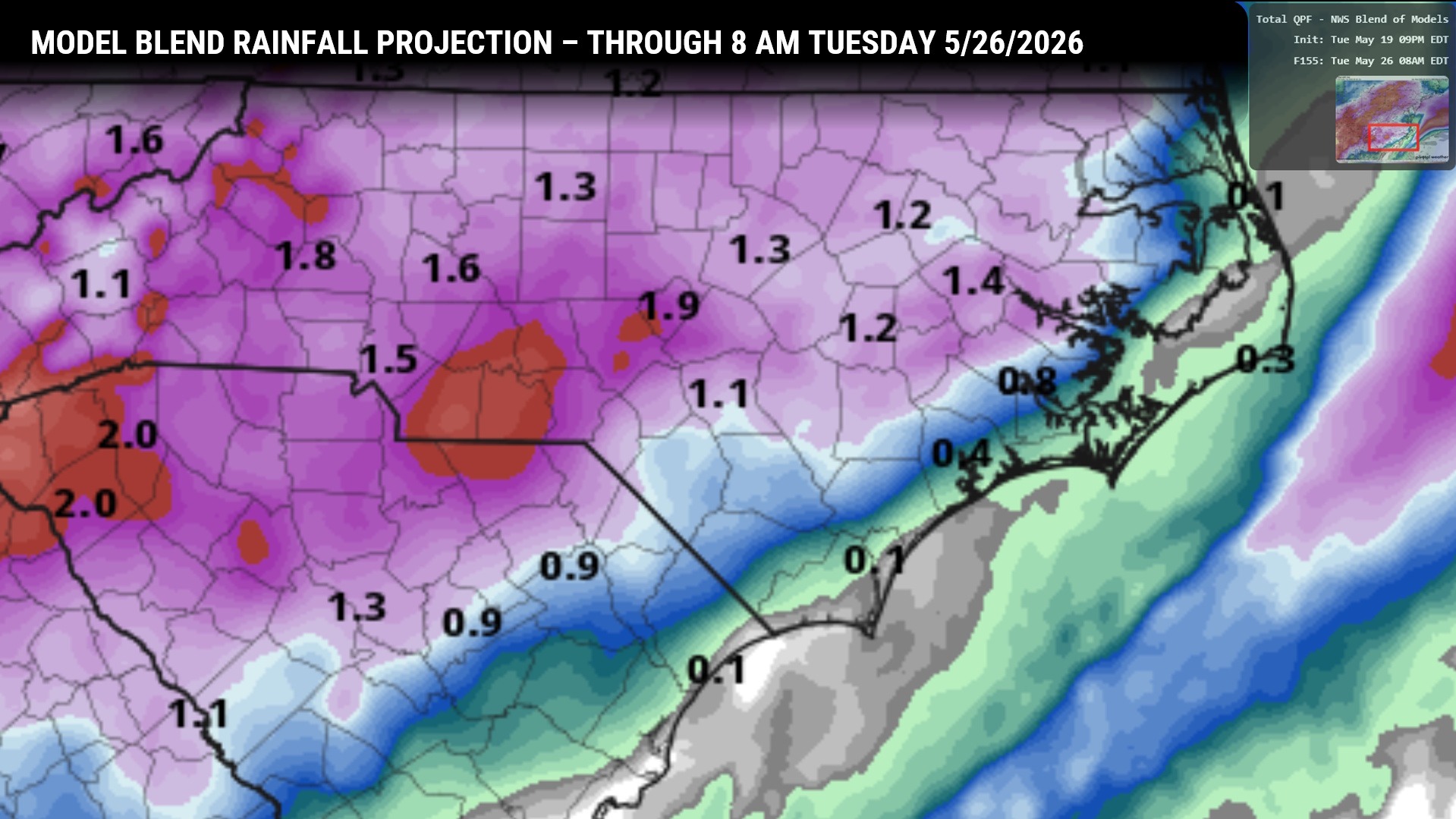
NBM model rainfall projections are a bit on the light side overall and really need to be taken with a grain of salt. The storms have the potential to produce torrential rainfall over localized areas … several inches of sudden rainfall could occur (which would result in localized flooding). Storms may also produce frequent cloud-to-ground lightning.
If you have outdoor plans this holiday weekend, keep a watchful eye (and ear) to the sky and be prepared to head indoors on rather short order.
Unsettled weather is likely to continue beyond Memorial Day as well.
Here is your Freedom Insurance Today-plus-Five Forecast:
–Meteorologist Christopher Cawley