Hello friends and neighbors, and good day to you! Welcome to the CCN Weather Update for Tuesday May 27, 2025.
This weather update is sponsored by Freedom Insurance of Whiteville. When severe weather strikes, with Freedom Insurance you will always be prepared. For home, car, boat, or whatever you need, Freedom can provide customized coverage to keep you and your family safe. Contact Freedom today at 910-640-2828!
STATISTICS for Monday 5/26/2025
High: 71.3°F at 9:43 AM (Normal 83)
Low: 61.7°F at 11:18 PM (Normal 61)
Precip: 0.02 in
Precip – Month: 6.39 in
View real-time data from the weather station at College Street Weather Station.
Here’s today’s Bottom Line
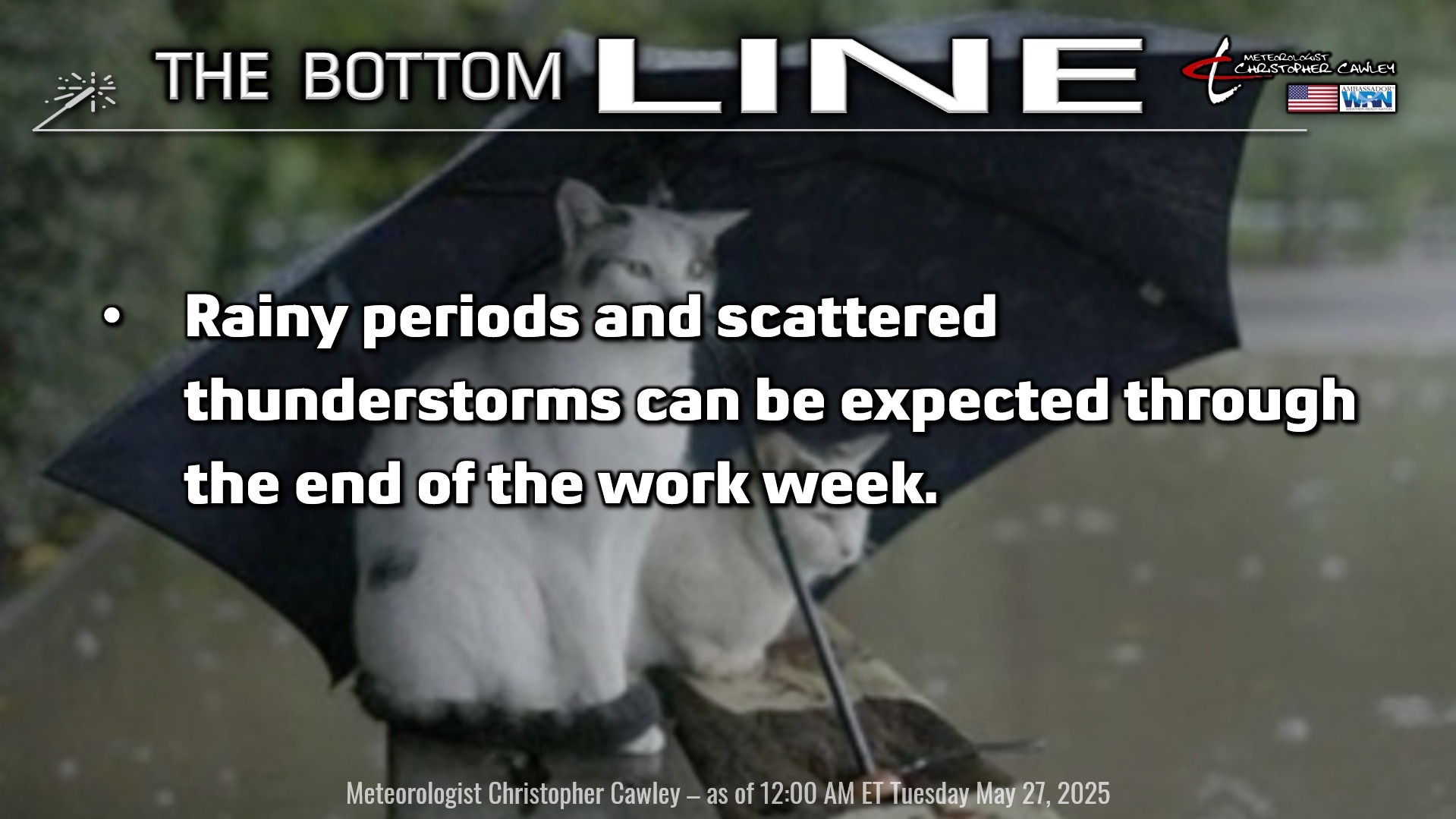
Well… we really do need the rain, so we might as well get it during the work week and bring the sunshine back on the weekend.
A stationary front and coastal trough extends from the Cape Fear southwestward just off the South Carolina coast today. The coastal trough is expected to gather a little strength today and this should be the source of lift sufficient for showers to develop by this afternoon. If you’re headed to the coast, toward Wilmington or Southport, there’s a higher threat for thunderstorm activity, but I think that here in ColCo, we’ll keep it rather “showery” this afternoon.
An area of low pressure develops on the stationary front tonight. This will “push” that front northward as a warm front, lifting well north of the area by Wednesday night. Periods of rain and thunderstorms are likely ahead of the front. We become firmly in the warm sector Wednesday night into Thursday, ahead of an advancing cold front. Afternoon instability dramatically increases on Thursday, and it’s almost certain that showers and thunderstorms will develop across southeast NC, Columbus County included. Again, it’s impossible to say precisely WHERE the storms will occur, but if I were a betting man, I’d be “all in” on showers/storms Thursday afternoon and evening.
The activity quiets down Thursday night but then picks back up again on Friday as the cold front finally sweeps west to east over the area.
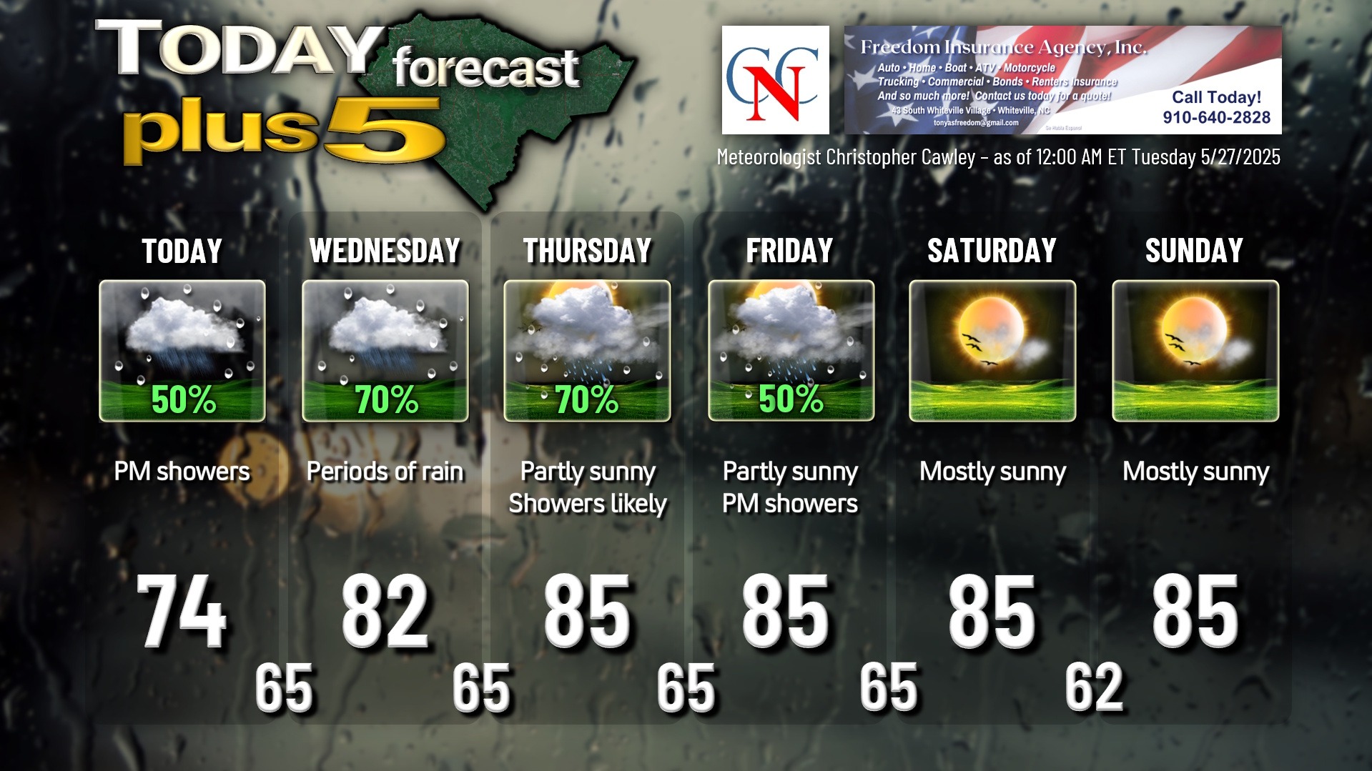
We’ll be much less humid for the weekend, with seasonable temps and FINALLY a return to sunny skies. (An isolated sea-breeze storm is possible both Saturday and Sunday, but not worth putting on the graphic.)
TROPICAL WEATHER FORECASTS are returning Sunday June 1st, the official start of hurricane season.
Here is your Freedom Insurance Today-plus-Five Forecast:
That’s going to do it for today’s report. As always, thank you for reading and for supporting Columbus County News. Have a great day!
–Meteorologist Christopher Cawley