CCN Weather Update for Monday February 23, 2026.
This weather update is sponsored by Freedom Insurance of Whiteville. You can trust Freedom Insurance to give you clear blue skies when it comes to home, car, boat, or whatever insurance you need. Let Freedom provide customized coverage to keep you and your family safe. Contact Freedom today at 910-640-2828!
Here’s today’s Bottom Line:
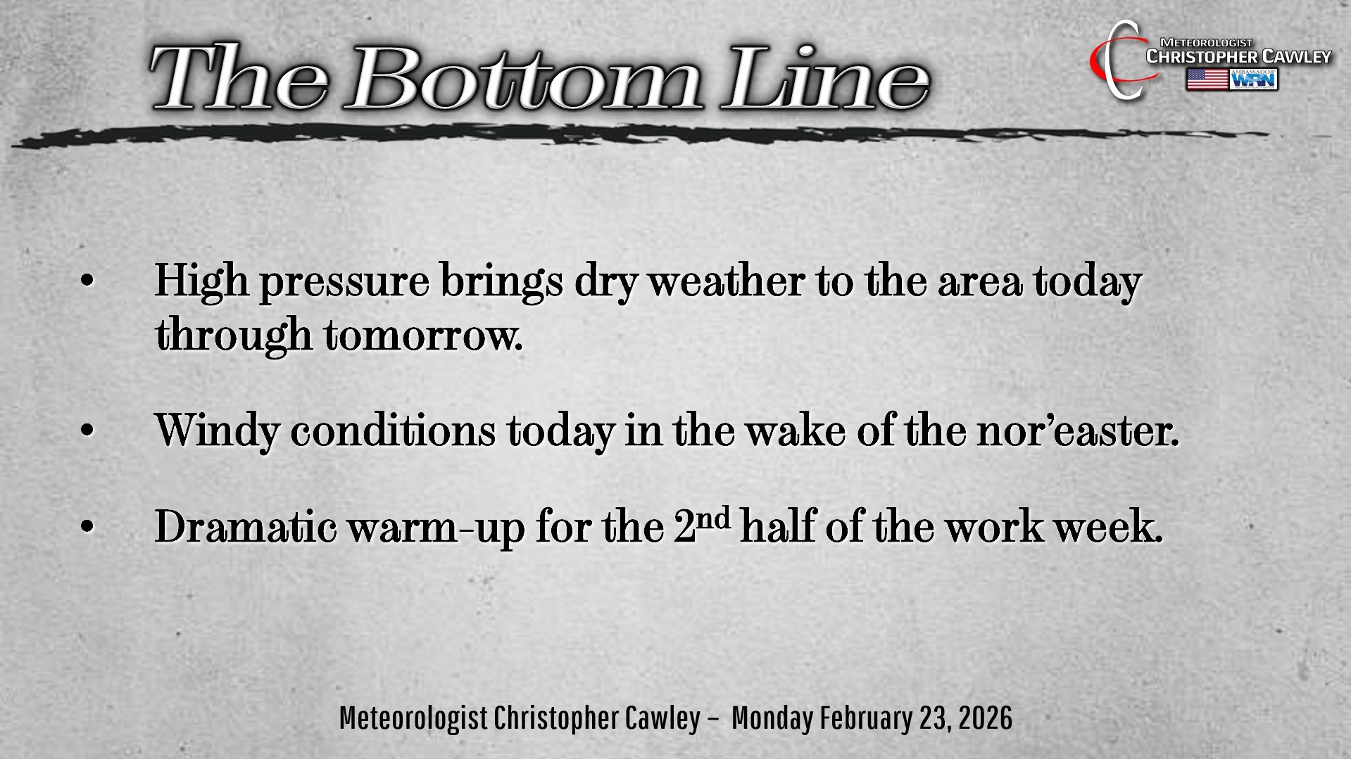
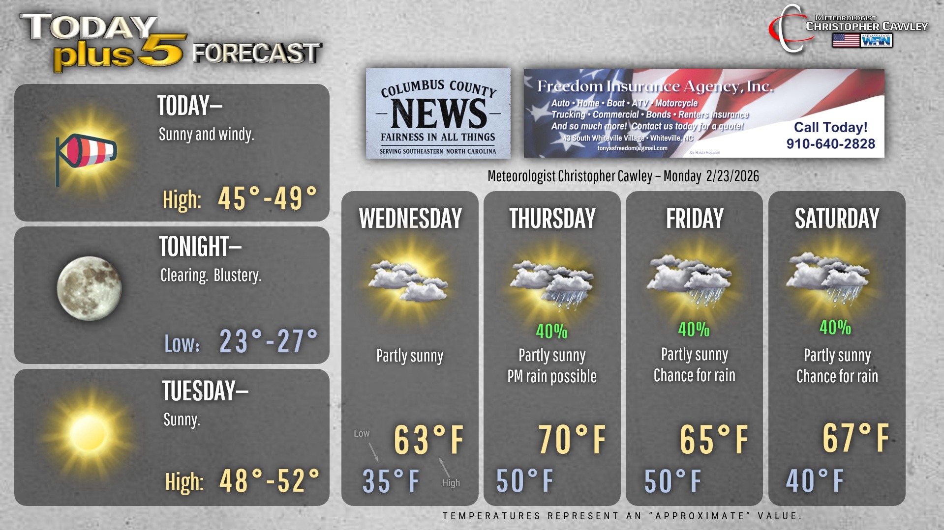
A simply amazing nor’easter is ravaging the big cities of the northeast as I write this… but the only impact here will be that of a windy day today. It will be blustery and quite cold, despite the full sunshine, with temps only in the mid to upper 40s. Combine that with the strong west/northwest wind, means wind chills values in the 20s.
Speaking of the 20s, we’ll dip deep into the 20s tonight with crystal clear skies. Winds should start to die down overnight, but wind chill values will still drop to the teens.
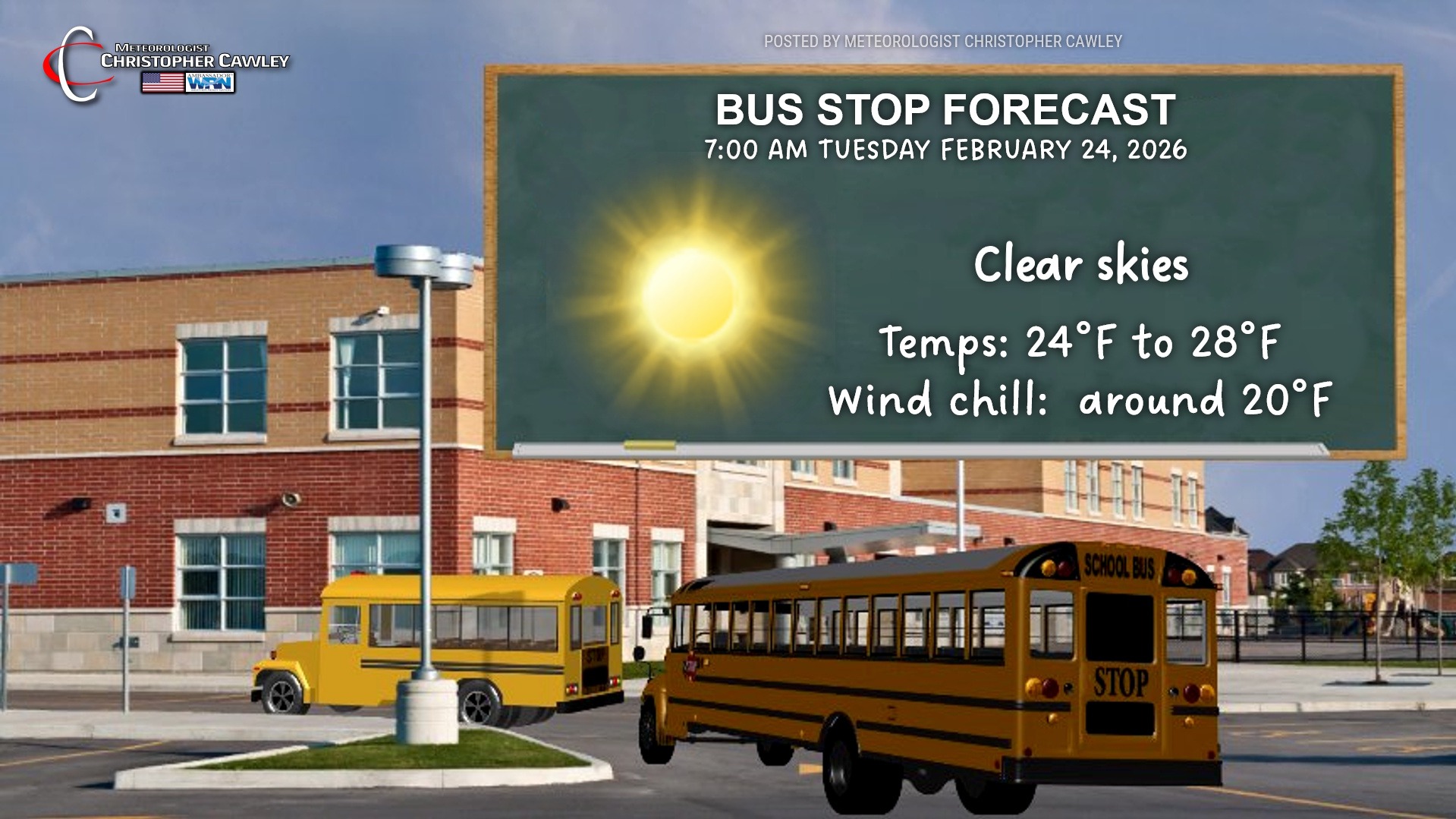
BUS STOP TEMPERATURES EARLY TUESDAY WILL BE IN THE MID TO UPPER 20S.
After Tuesday a rather dramatic return to spring occurs… “false spring number two,” with temps rising to the 60s on Wednesday, around 70 on Thursday ahead of a cold front, settling back into the 60s for Friday and Saturday. There are some rain chances… a cold front is slated to move across the area Thursday night and that’s when most of the rain is likely to occur during the forecast period. Model blends only show about 0.40″ for the Whiteville area.
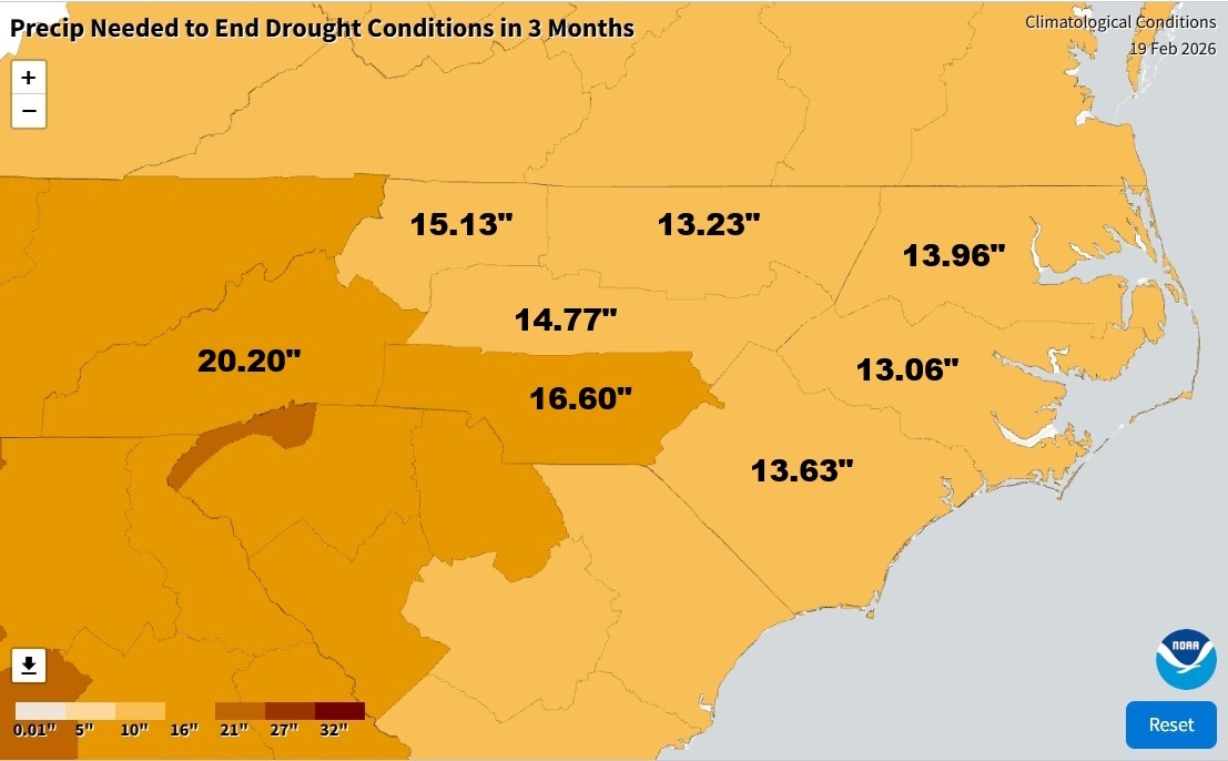
In a side note, we do remain in a drought status here. I know the swamps and creeks and such appear high but according to NOAA, we would need over 13 inches of rain to fall over the next 3 months to end the drought conditions.
Here’s your Freedom Insurance Today-plus-Five Forecast!
–Meteorologist Christopher Cawley