CCN Weather Update for Monday June 29, 2026
This weather update is sponsored by Freedom Insurance of Whiteville. Trust Freedom Insurance to give you clear blue skies when it comes to home, car, boat, or whatever insurance you need. Let Freedom provide customized coverage to keep you and your family safe. Contact Freedom today at 910-640-2828!
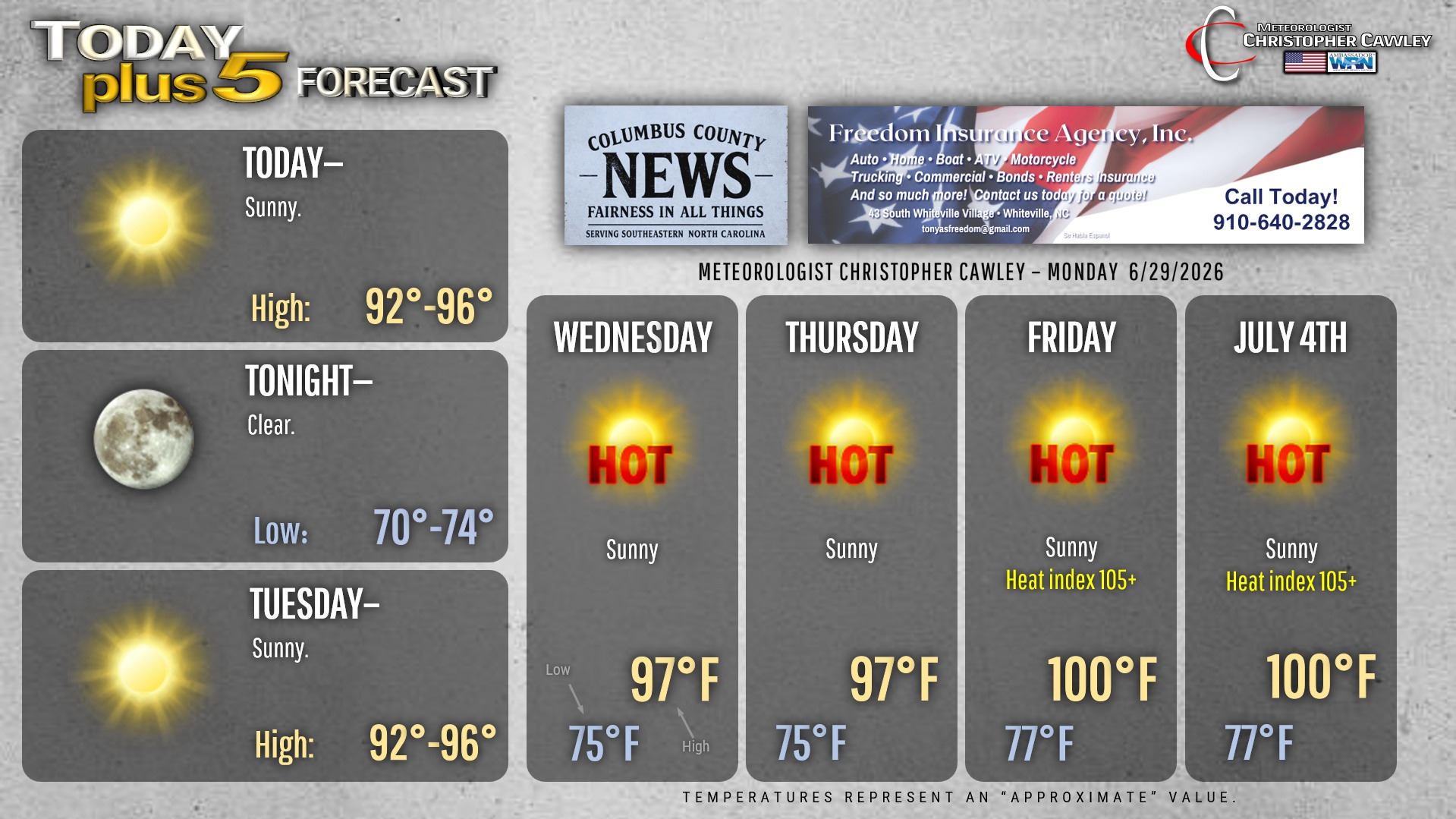
Here’s today’s Bottom Line

Precipitation chances drop to near-zero today through at least this coming Saturday.
High pressure will continue to strengthen through the week. Head index values will rise above 100 by tomorrow… and then easily cruise past the advisory level of 105 by Thursday or Friday… possibly into “extreme heat warning” criteria for the weekend. Actual air temps are likely to be in the range of 98-104, with the hottest day likely being Saturday, the Fourth of July.
There’s the slight chance for some thunderstorm activity returning to the area on Sunday, but I’m not going to get too excited about that.
TROPICS: The front that moved through the area on Sunday afternoon will stall to our south and essentially dissolve into the Bermuda high. But… an area of low pressure is expected to form on this front. The system may then develop tropical characteristics as it drifts southwestward toward southern South Carolina or the Georgia coast by the end of the week. Overall conditions will become less favorable by the end of the week. Despite what people are posting on social media, the system has a very low probability of developing into anything tropical. Even if it does, there will be no local impacts.

Here is your Freedom Insurance Today-plus-Five Forecast:
–Meteorologist Christopher Cawley