CCN Weather Update for Sunday June 14, 2026
This weather update is sponsored by Freedom Insurance of Whiteville. Trust Freedom Insurance to give you clear blue skies when it comes to home, car, boat, or whatever insurance you need. Let Freedom provide customized coverage to keep you and your family safe. Contact Freedom today at 910-640-2828!
Here’s today’s Bottom Line
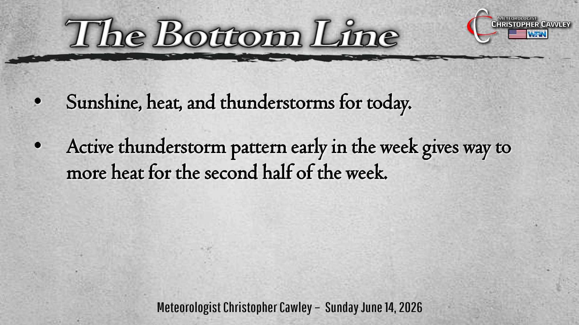
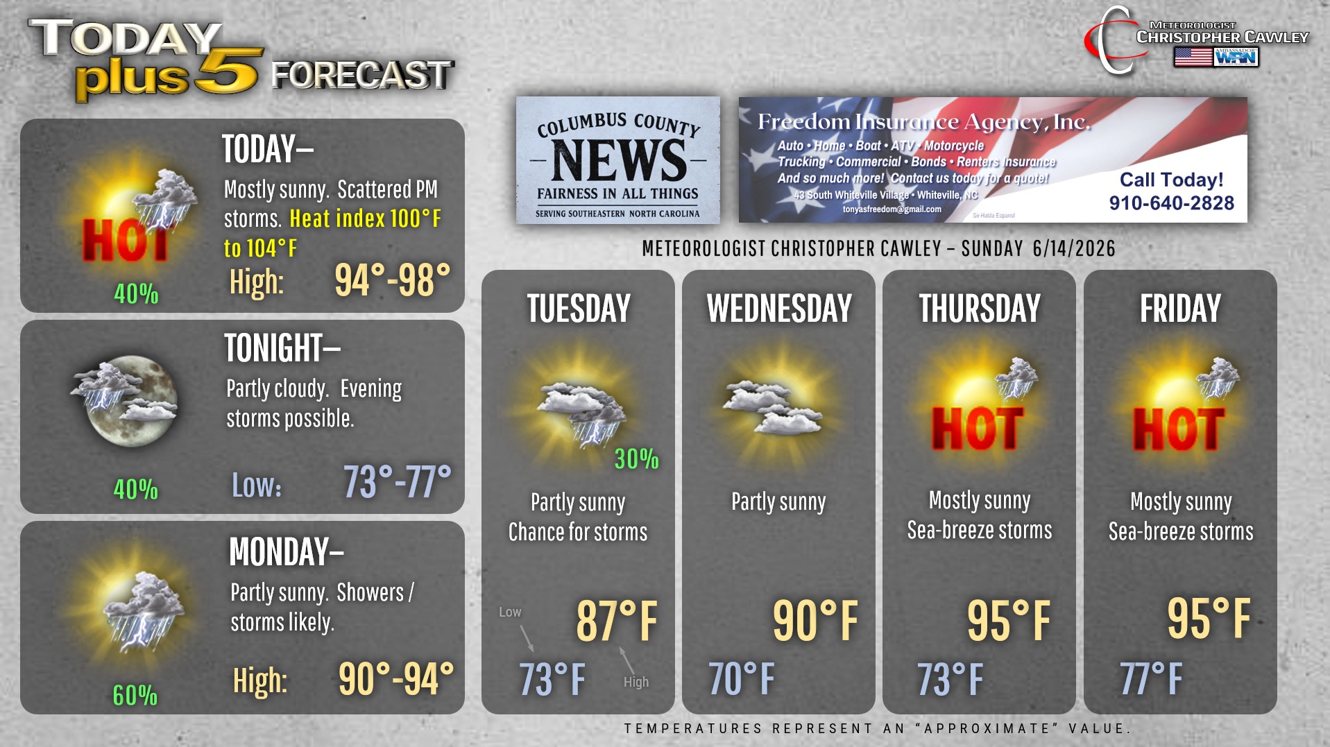
Triple-digit heat gave way to very active convection across the area yesterday. We’ll experience much of the same today but I don’t think we’ll crack the Misery mark this afternoon.
Scattered thunderstorms are likely to develop along the sea-breeze this afternoon, transitioning to a Piedmont trough dropping eastward. This is all aided and abetted by a dissipating frontal boundary that will be in the area… but ultimately we will see very similar conditions to yesterday. Some places will get buckets of rainfall and some places will get very little.
Any storm that forms will be capable of producing winds of 40-50 mph, pea-size hail, and near-constant cloud-to-ground lightning, and the prime time to be aware for storms is after 3 PM.
A “cold front” pushes through on Monday. There should be good storm coverage in the afternoon and evening once again. Behind this front our temps drop back a little bit … briefly … but the temps take off again by the end of the week.
Tuesday will be cooler with generally mostly cloudy skies. I can’t rule out a few showers or storms. Partly sunny skies… but dry conditions… on Wednesday. Sunshine, heat, and sea-breeze storms Thursday and Friday.
Here is your Freedom Insurance Today-plus-Five Forecast:
–Meteorologist Christopher Cawley