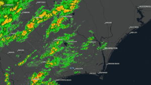
Columbus County was rocked by a cluster of amazing thunderstorms during the early morning hours of Thursday.
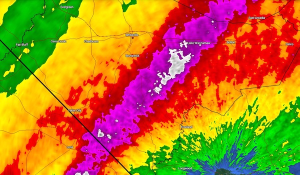
These storms were associated with low pressure lifting northward along a frontal boundary draped south to north over the county. The axis of heaviest rain fell from the state line near Wright Road northward through Nakina, Hallsboro, Lake Waccamaw, and north into Bladen County.
Doppler radar-estimated rain totals range from about 1.5 inches in the city of Whiteville to around five inches of rain just southwest of Lake Waccamaw. This intense rainfall led to some areas of flooding.
The National Weather Service did issue a Flood Advisory for most of the eastern half of the county during the storm. Areas farther east, including Bolton and Delco received around two inches of rain from the thunderstorms. Farther west, Fair Bluff, Evergreen, Boardman, and Cerro Gordo picked up between three quarters and one inch of rainfall from the storms, while Doppler estimates showed Chadbourn receiving about an inch and a half of rainfall.
The storms were not classified as severe. There was intense lightning and rainfall, but for a storm to be considered “severe” it must have wind speeds of 58 mph or higher and/or hail one inch or greater in diameter.