CCN Weather Update for Tuesday June 16, 2026
This weather update is sponsored by Freedom Insurance of Whiteville. Trust Freedom Insurance to give you clear blue skies when it comes to home, car, boat, or whatever insurance you need. Let Freedom provide customized coverage to keep you and your family safe. Contact Freedom today at 910-640-2828!
Here’s today’s Bottom Line
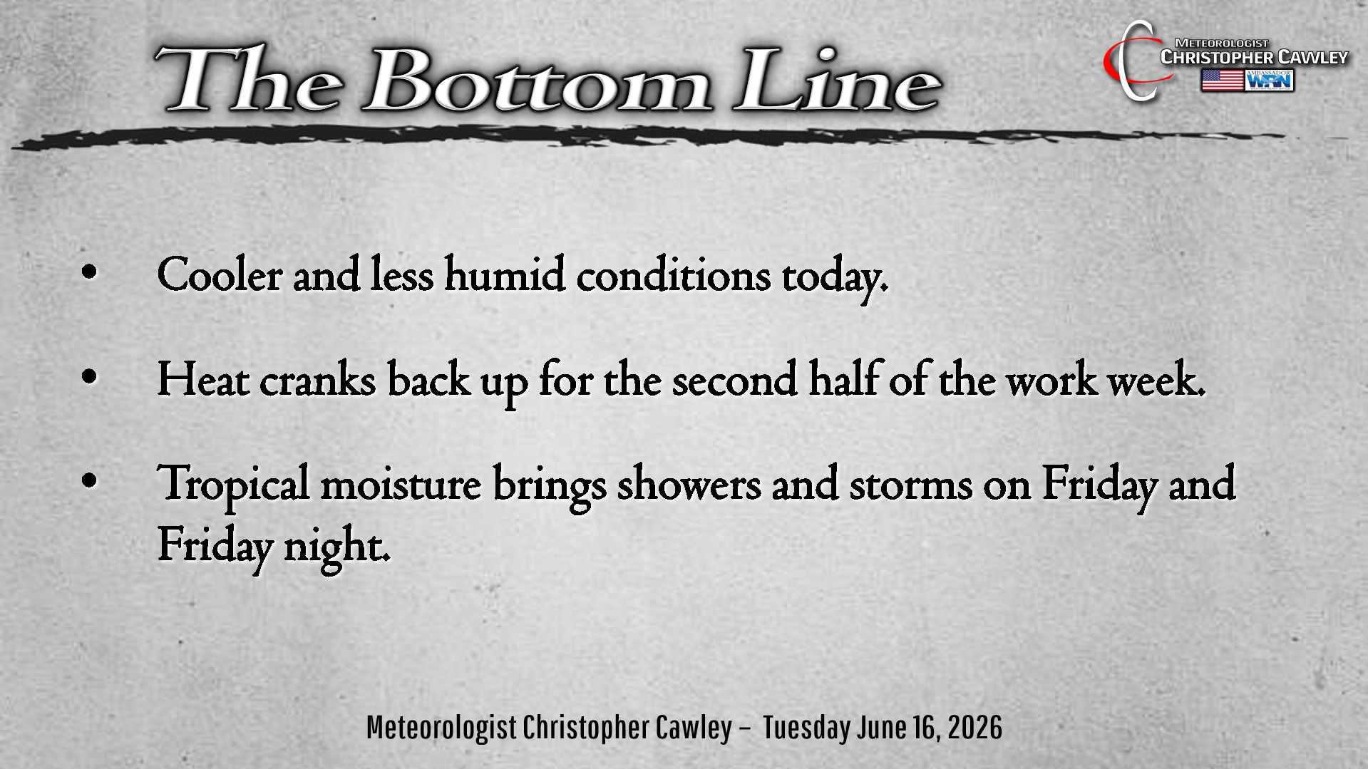
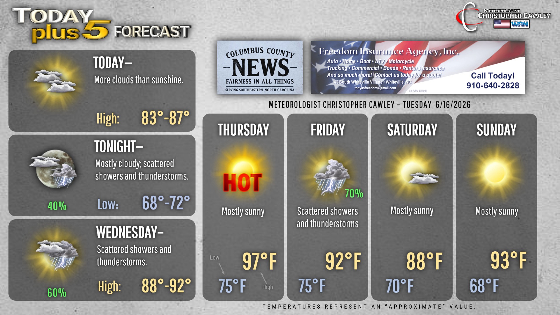
A frontal boundary has pushed offshore and that will leave us with COOLER and LESS HUMID conditions today!! Don’t get too used to it though; the front lifts back off to the northwest and dissipates tonight and Wednesday. This will be the focus for some scattered showers and thunderstorms late tonight through Wednesday. It won’t be a washout but some places could pick up a good deal of rainfall.
Oppressive heat comes roaring back into the area for Thursday with bright sunny skies. Highs will likely push into the upper 90s with heat index values well into the advisory criteria range for much of the afternoon.
Tropical moisture streams north and east from what could be a landfalling system along the Texas coast by Friday. This could bring scattered to numerous showers and thunderstorms Friday into Friday night… but modeling is very much at odds with this potential system. It stands to reason with the front off to the north that the flood gates will be open from the tropical Gulf, so I’m going with solid precip chances for your Friday.
Another front sweeps across the area late Friday night, pushing the tropical moisture south and east will ushering in slightly cooler temps on Saturday. The heat starts to build back in by Sunday afternoon.
Here is your Freedom Insurance Today-plus-Five Forecast:
–Meteorologist Christopher Cawley