
Columbus County NEWS Weather Update for Saturday July 18, 2026.
This weather update is sponsored by Freedom Insurance of Whiteville. Trust Freedom Insurance to give you clear blue skies when it comes to home, car, boat, or whatever insurance you need. Let Freedom provide customized coverage to keep you and your family safe. Contact Freedom today at 910-640-2828!
Here’s today’s Bottom Line
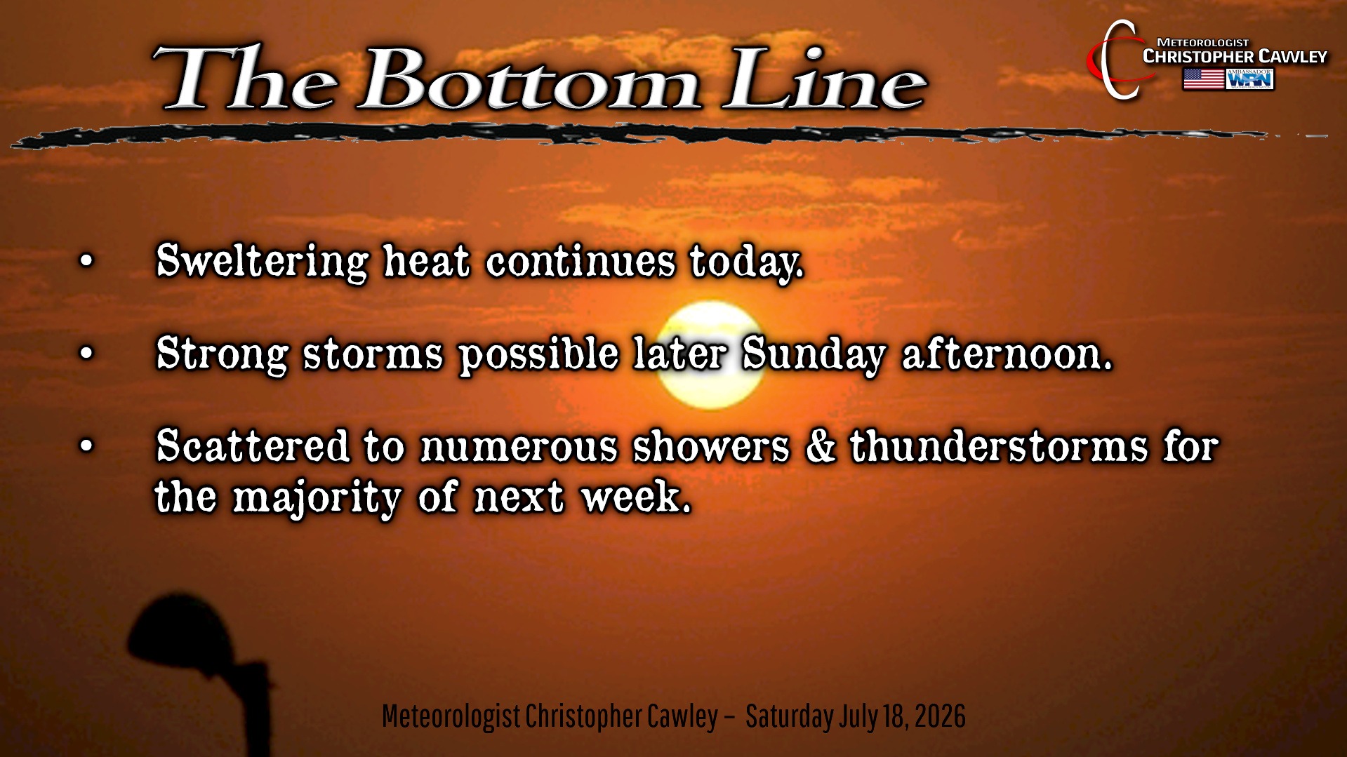
This unrelenting heat just keeps on keeping on as highs yesterday on my station reached 102.9 degrees. We’ll be flirting with the Misery Mark once again today as the ridge of high pressure tries to maintain control.
A weak trough will come together over central North Carolina this afternoon, and there is some suggestion that an area of low pressure tries to develop. This will be the focus for a few isolated storms… I’m hedging my bets that they stay west of I-95 so they’re not shown on my graphic below. That being said, I wouldn’t be surprised if one or two fairly aggressive thunderstorms pop this afternoon. Any storms that form will likely produce intense rainfall and excessive lightning.
For tomorrow, a cold front starts to drop down from the north. That will suppress the high pressure ridge farther south and west. Another wave of low pressure scoots along the NC/VA border while another low (possibly tropical) tries to develop along the Gulf coast. The combination of this means significant moisture over the area for tomorrow, leading to the potential for thunderstorms Sunday afternoon. The Storm Prediction Center has placed Columbus county under a level 1 risk for severe storms, while most of Bladen and Robeson counties are under a level 2 severe risk.
Frontal boundary remains in the neighborhood on Monday, snaking along the NC/VA border, with a trough extending southward into Florida, into the (possible tropical) low. Showers and storms are likely throughout the day on Monday. Storm chances lower a bit on Tuesday … but then ramp up again for Wednesday and Thursday. The SPC has portions of the area under a severe risk for Wednesday… that bears watching.
Model blends suggest that much of eastern North Carolina, basically from I-95 to the coast, could see substantial amounts of rain from Sunday through Friday 7/24 — totals upwards of 3-5 inches of rain.
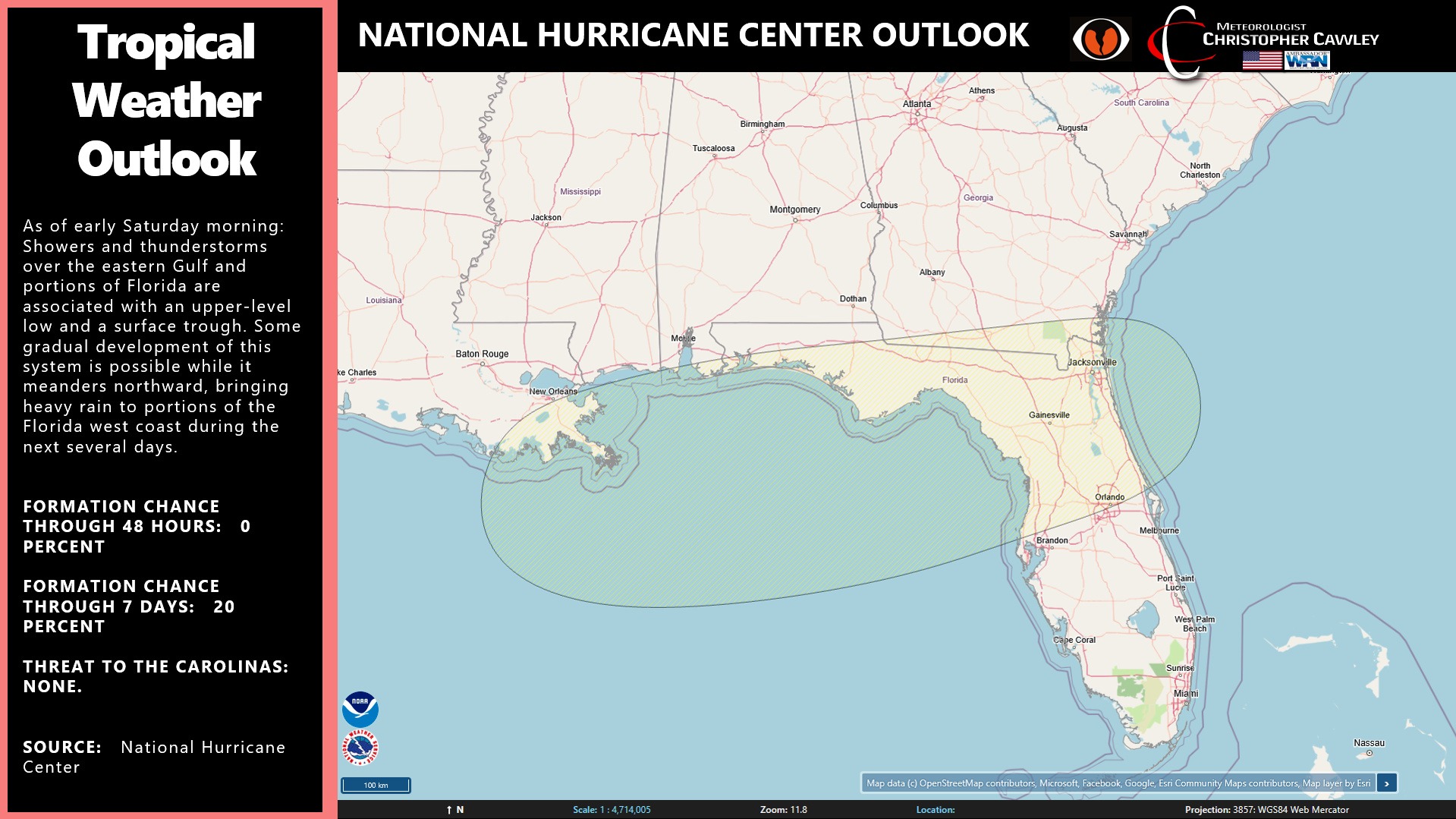
TROPICS: I continue to monitor the area along the Gulf coast for possible tropical development… but even if something DOES come together, the threat to our area is near-zero.
Here is your Freedom Insurance Today-plus-Five Forecast:
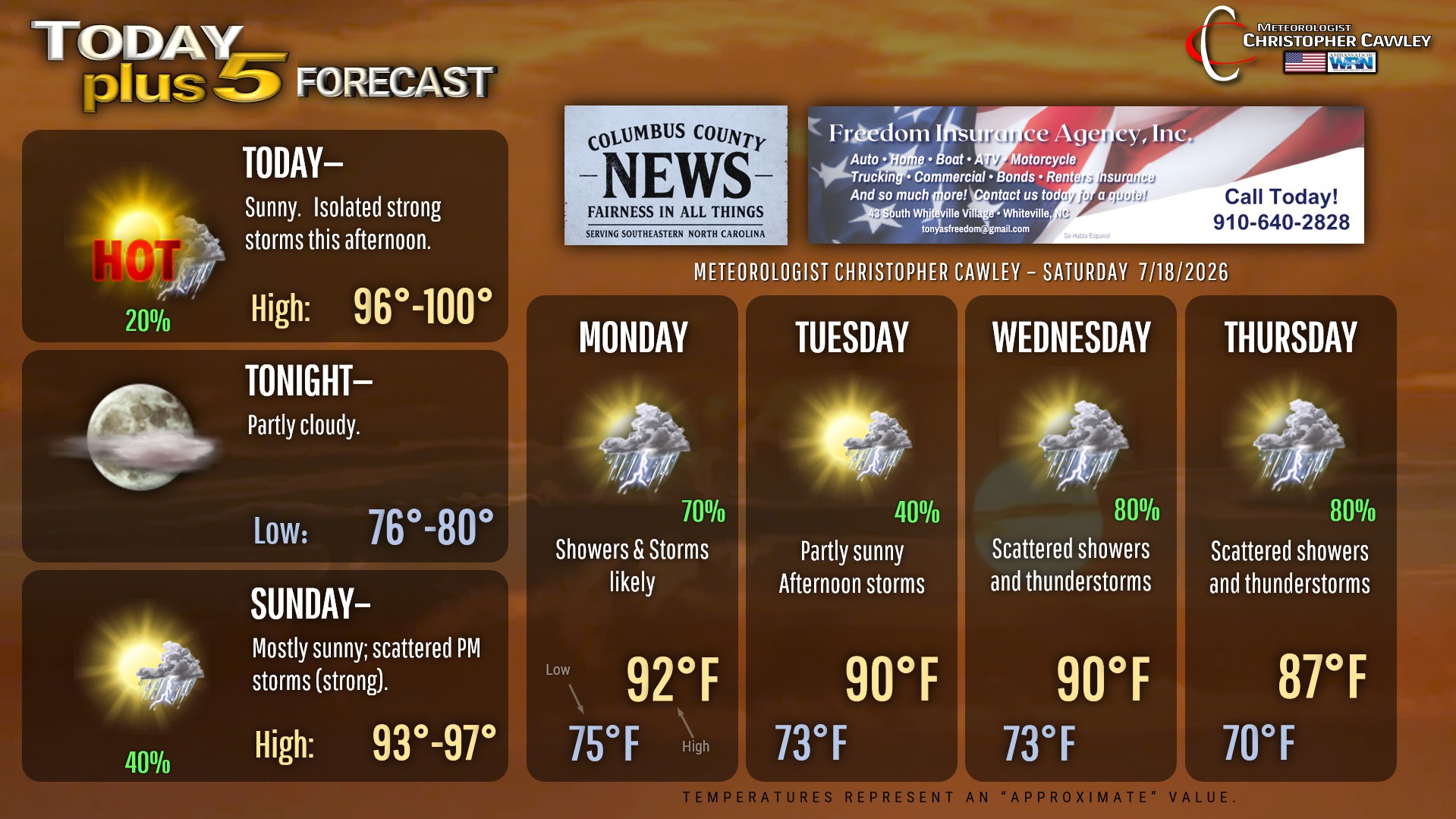
–Meteorologist Christopher Cawley