Hello everyone and good day to you! Welcome to the CCN Weather Update for Saturday May 17, 2025.
This weather update is sponsored by Freedom Insurance of Whiteville. When severe weather strikes, with Freedom Insurance you will always be prepared. For home, car, boat, or whatever you need, Freedom can provide customized coverage to keep you and your family safe. Contact Freedom today at 910-640-2828!
STATISTICS for Friday 5/16/2025
High: 94.2°F at 3:29 PM (Normal 80)
Low: 68.6°F at 4:55 AM (Normal 57)
Highest Heat Index: 107.5°F at 3:29 PM
Precip: 0.00 in
Precip – Month: 6.37 in
View real-time data from the weather station at College Street Weather Station.
Here’s today’s Bottom Line
Mercy it was hot on Friday. Maximum temperature was 94 degrees on my station in Whiteville, compares with my forecast of 95, so I’ll take it. The heat index got up a little higher than anticipated, peaking at 107.
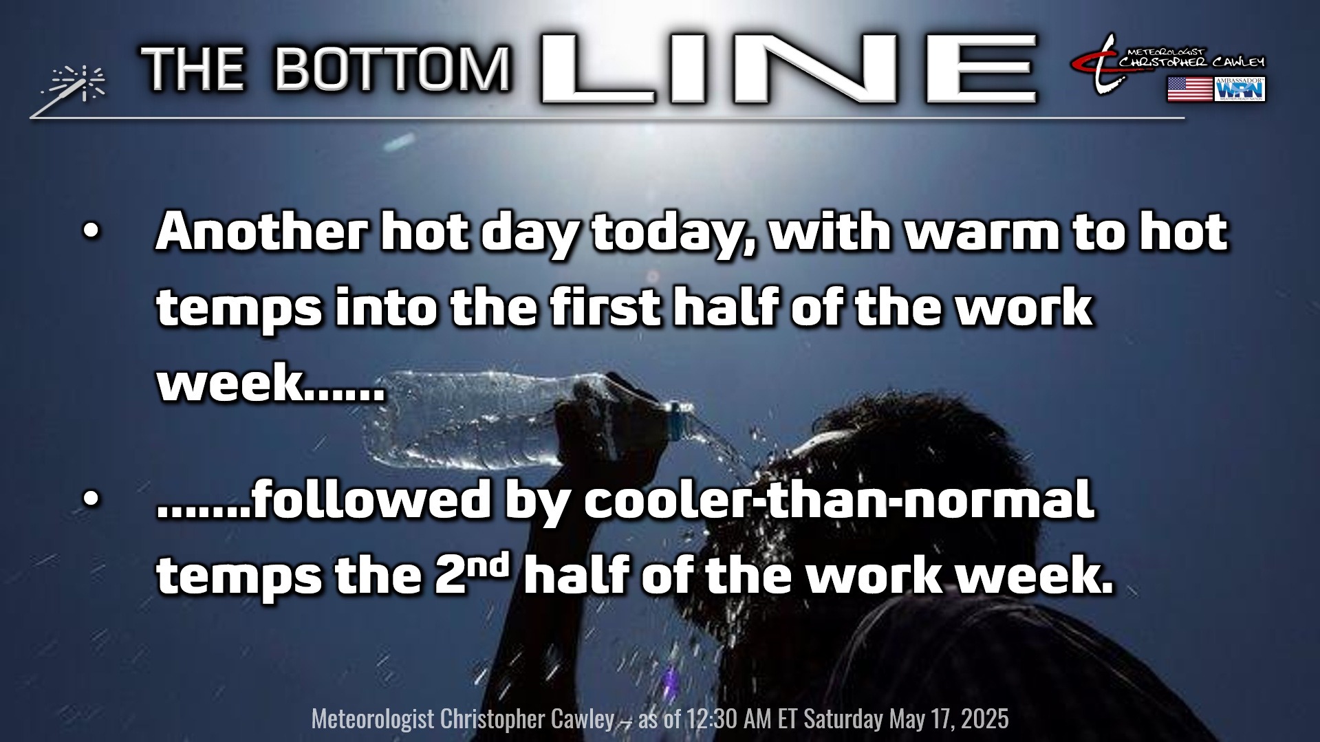
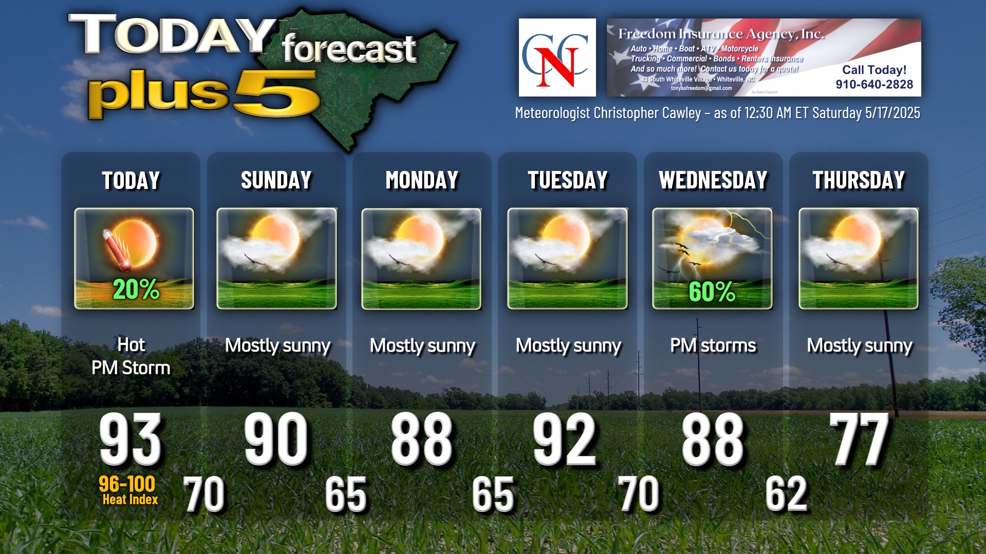
Another hot one for today thanks to a high pressure ridge… but that ridge is going to break down just enough to allow a weak cold front to drop down from the north later this afternoon. This front has limited moisture supply with it, but I think as it interacts with the general instability from the heat, along with the sea-breeze boundary, a few isolated thunderstorms could pop this afternoon. Any storm that develops this afternoon has the potential to have large hail and some isolated damaging wind gusts, so there may be a warning or two issued. If you see tall cumulus towers forming, and/or hear some thunder rumbling, take shelter quickly.
We’re going into the 90s again today with heat index values flirting with (if not exceeding) 100 degrees yet again.
SLIGHTLY cooler temps for your Sunday as the frontal boundary stalls just south of our area, and becomes aligned parallel to the general wind flow. This means the front isn’t going anywhere anytime soon. High pressure will try to ridge in and should keep dry weather in here through Monday. The aforementioned front lifts northward as a warm front on Tuesday, bringing our temps back in the lower 90s with higher heat index values once again.
Then change arrives. A pretty strong cold front approaches the area for Wednesday. Atmospheric parameters become quite favorable for a severe weather potential on Wednesday afternoon as the cold front crosses the county sometime in the afternoon. We’ll have to watch this carefully, and timing is everything. If everything lines up just right, a true severe weather risk will take shape.
Much cooler — MUCH cooler and drier air moves in for Thursday and Friday with temps dropping to below-normal levels. Guidance is suggesting highs in the mid 70s Thursday and Friday.
Here is your Freedom Insurance Today-plus-Five Forecast:
That’s going to do it for today’s report. As always, thank you for reading and for supporting Columbus County News. Have a great day!
–Meteorologist Christopher Cawley