CCN Weather Update for Saturday February 7, 2026.
This weather update is sponsored by Freedom Insurance of Whiteville. You can trust Freedom Insurance to give you clear blue skies when it comes to home, car, boat, or whatever insurance you need. Let Freedom provide customized coverage to keep you and your family safe. Contact Freedom today at 910-640-2828!
Here’s today’s Bottom Line:
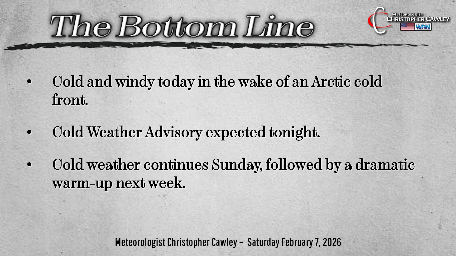
The big weather story for this weekend, particularly today, is the cold and the wind. A few Arctic fronts have moved over the area. Today we will experience a robust northwest wind flow, with sustained winds of 15-25 mph, gusting at times to between 30 and 40 mph. There could be a few isolated power outages with this wind.
Despite full sunshine, temps today will be in the upper 30s to around 40. Combine that with the wind, and you can expect “feels like” temps to be around 20.
Very cold temps tonight… and it’s likely that the National Weather Service will issue a “Cold Weather Advisory.” Temps will drop into the mid and upper teens, and with the continued blustery conditions, wind chills will likely drop to between 10-15.
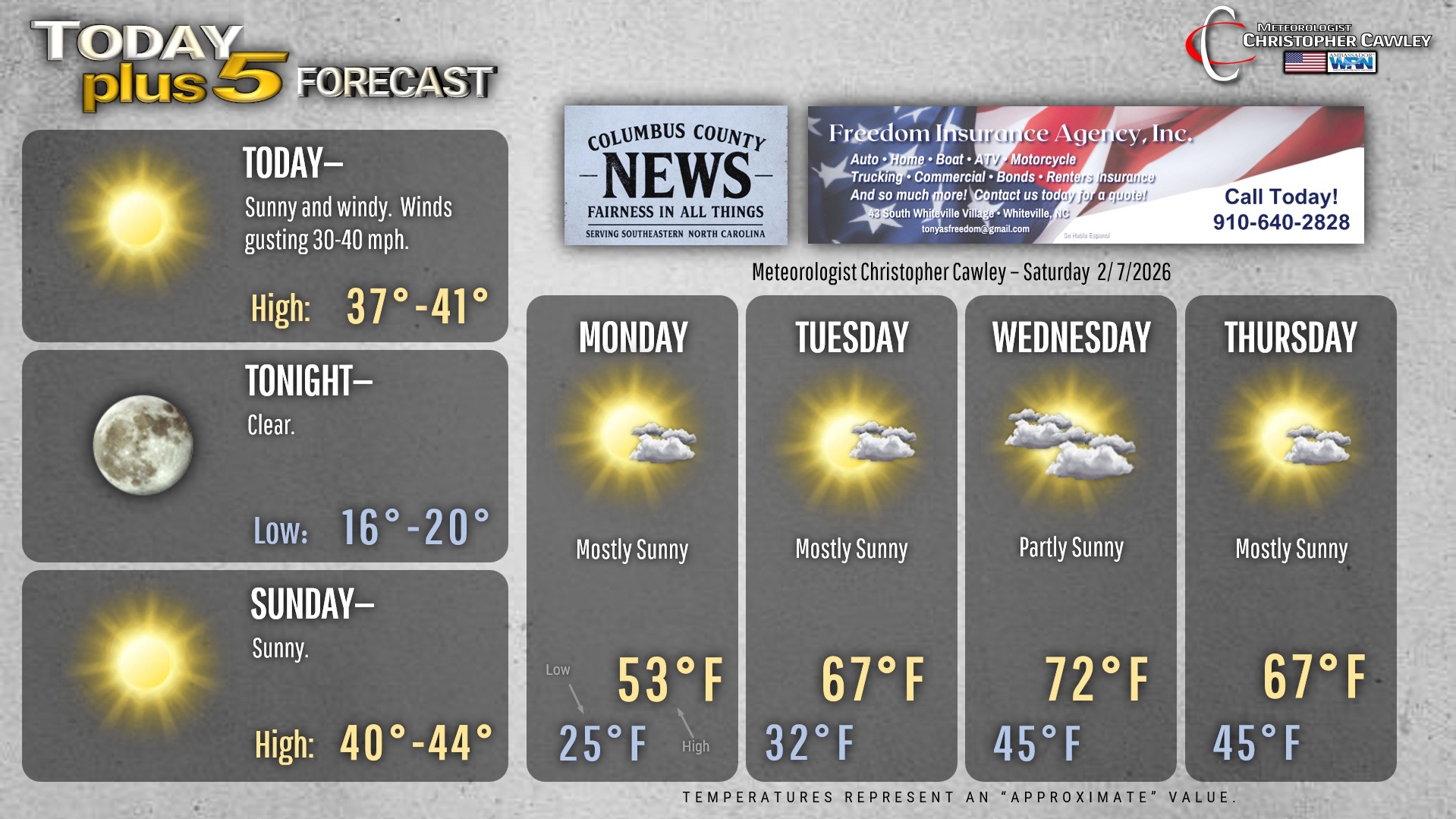
Not much warmer for your Sunday, but the winds should relax as high pressure crests over the area. We’ll be around 40 or in the lower 40s with full sunshine.
Then… the dramatic warm-up begins. The high pressure center will push offshore and allow a robust southwesterly flow to become established. We’ll go from lower 40s on Sunday… to the lower 50s on Monday… to the upper 60s on Tuesday… to the lower 70s on Wednesday. A cold front will cross the area late Wednesday night knocking our temps down a little bit on Thursday. A much stronger front looks to arrive by Friday which could bring some rain and temperatures more in line with seasonal normal values.
Here’s your Freedom Insurance Today-plus-Five Forecast!
–Meteorologist Christopher Cawley