CCN Weather Update for Wednesday May 6, 2026
This weather update is sponsored by Freedom Insurance of Whiteville. Trust Freedom Insurance to give you clear blue skies when it comes to home, car, boat, or whatever insurance you need. Let Freedom provide customized coverage to keep you and your family safe. Contact Freedom today at 910-640-2828!
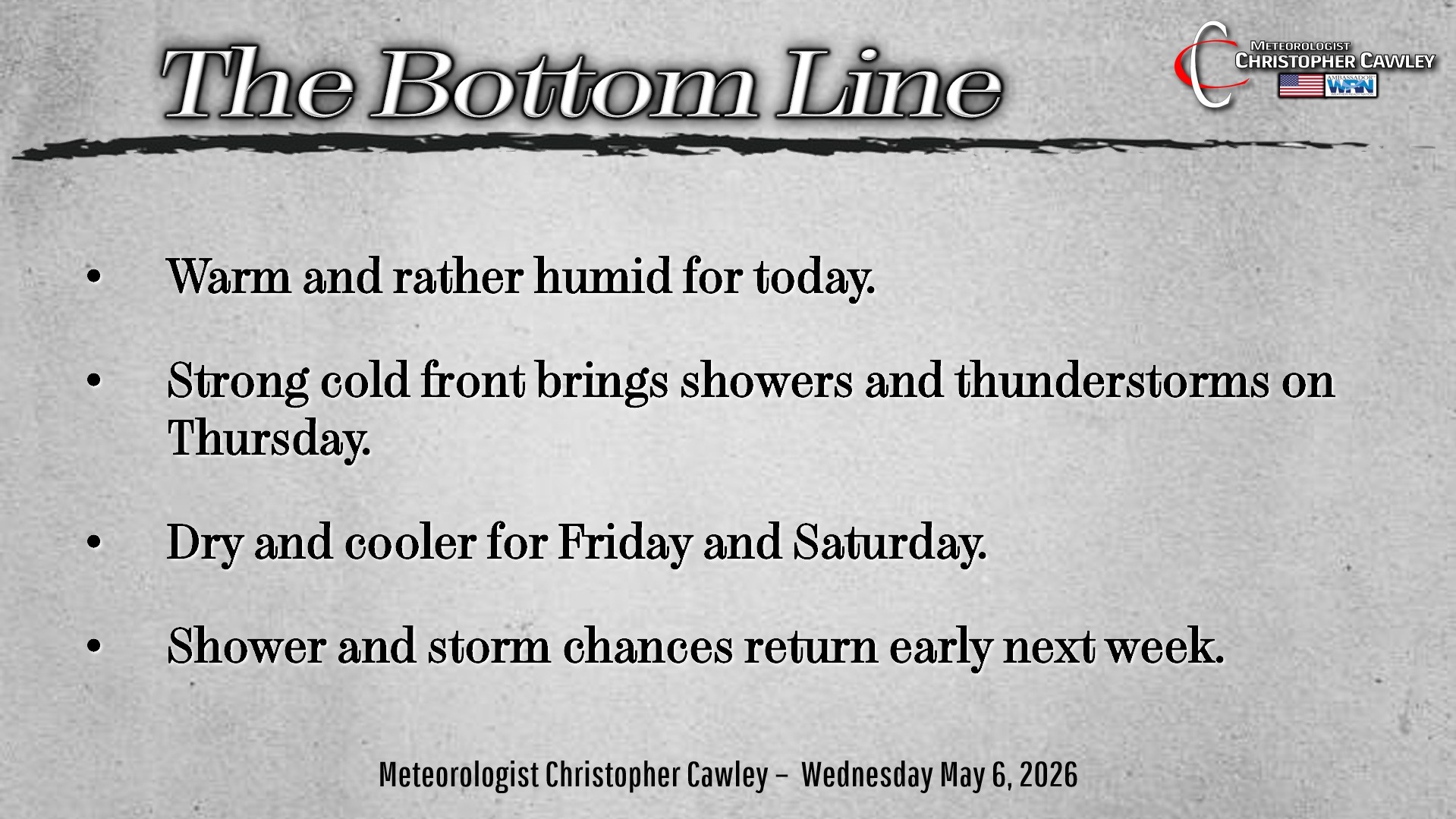
Here’s today’s Bottom Line
Greetings, we’re halfway through the week!
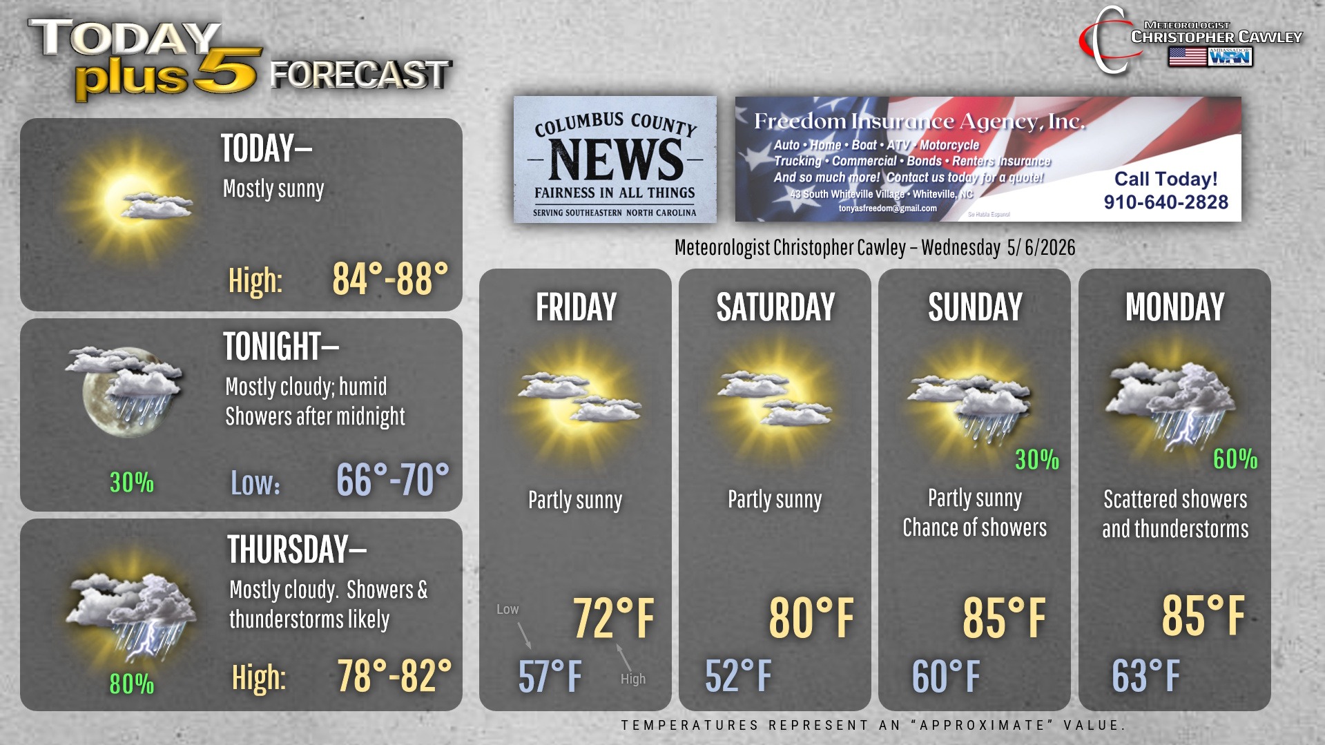
It’s going to be rather summerlike in terms of warmth and humidity today. A robust southwesterly flow will bring those warm temps and higher dewpoints today. We’ll see a mix of sunshine and clouds… and while it’s not in my forecast, it wouldn’t surprise me if there was an isolated pop-up shower or storm late this afternoon. By far the exception, not the rule.
Clouds and shower chances increase late tonight ahead of a strong cold front that will push through late Thursday afternoon.
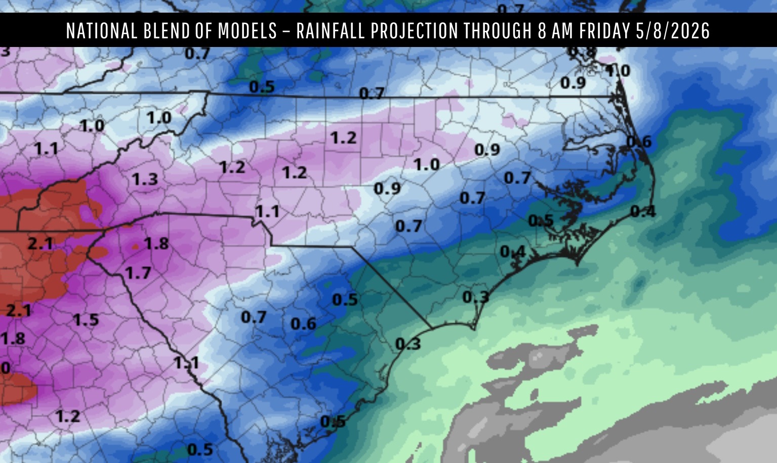
Higher rain chances arrive on Thursday. The aforementioned front will be “pushed” through the area by some upper-atmospheric energy (a trough). This increased upper-level support will likely lead to heavier showers and some thunderstorms ahead of the front. The severe potential is not particularly high due to cloud cover and a lack of decent shear (a change in wind speed and/or direction with height). Winds are also going to be blowing parallel to the front when ideally you’d like more perpendicular winds for stronger storms. Interestingly, some of the AI generations are painting a severe risk pushing into south-central and southeast NC … I doubt it. This could all change if we break out with some sunshine on Thursday. I just don’t foresee that happening.
At any rate, there should still be a decent coverage of showers and storms on Thursday. Rainfall amounts of a third to half an inch should be the rule; however, if storms “train” (repeatedly impact the same areas), some places could see considerably more rainfall.
Cooler and drier air will follow behind the front for Friday with dry high pressure in place into the
weekend. Our next frontal system moves through on Monday with showers and thunderstorms.
Here is your Freedom Insurance Today-plus-Five Forecast:
–Meteorologist Christopher Cawley